
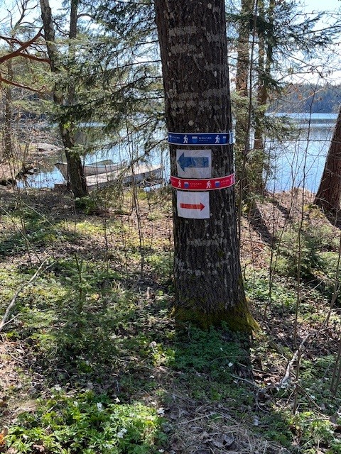
Aboda klint - Röd slinga
- Rond pad
- Hiking
- Regio: Kalmar län och Öland
Pad details
- Lengte 4.5 km
- Moeilijkheidsgraad Blauw - medium
Acties
Omschrijving
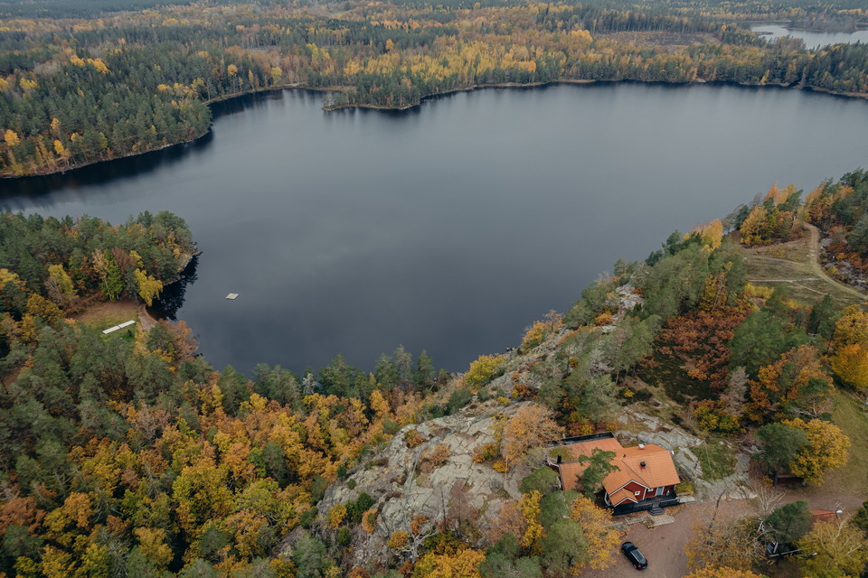
The Red Loop takes you on a slightly longer hike through the Aboda Nature Reserve and the area around Aboda Klint. Here you’ll encounter a varied landscape featuring forests, mountains, lake views, and open fields.
The highlight is Aboda Klint, a spectacular viewpoint where the cliff rises about 50 meters above Lake Kleven. From the top, you’ll enjoy sweeping views of forests and lakes. The trail winds through a forest-dominated landscape featuring mixed coniferous forest, rocky outcrops, and patches of deciduous forest. In the southern section, you’ll find mountain oak, a species that’s relatively rare in this part of the country.
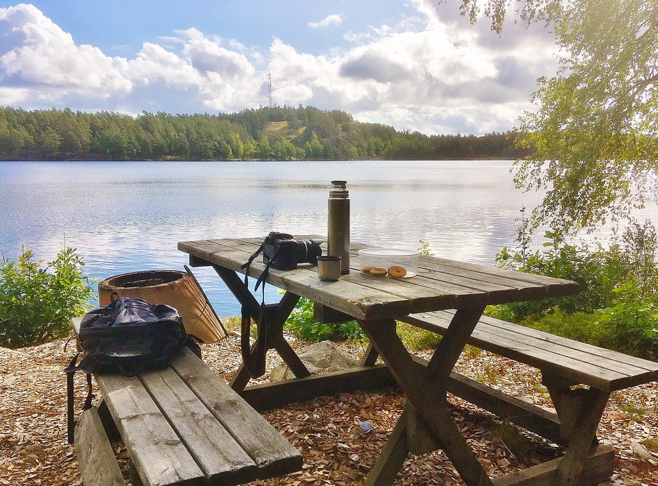
At Aboda Klint, there are picnic areas and a nice swimming spot, making the area a pleasant destination for hiking, resting, and swimming.
Activiteiten en faciliteiten
- Hiking
- Rond pad
Contact
E-mailadres
Organisatie-logotype

Ik ben hier geweest 1

Ik wil hierheen 2

Vragen en antwoorden
Stel een vraag aan andere Naturkartan gebruikers.
Beoordelingen
0 beoordelingen
- 5 :
- 4 :
- 3 :
- 2 :
- 1 :
Afbeeldingen van gebruikers
Er zijn nog geen afbeeldingen van gebruikers. Deel als eerste!
