
-
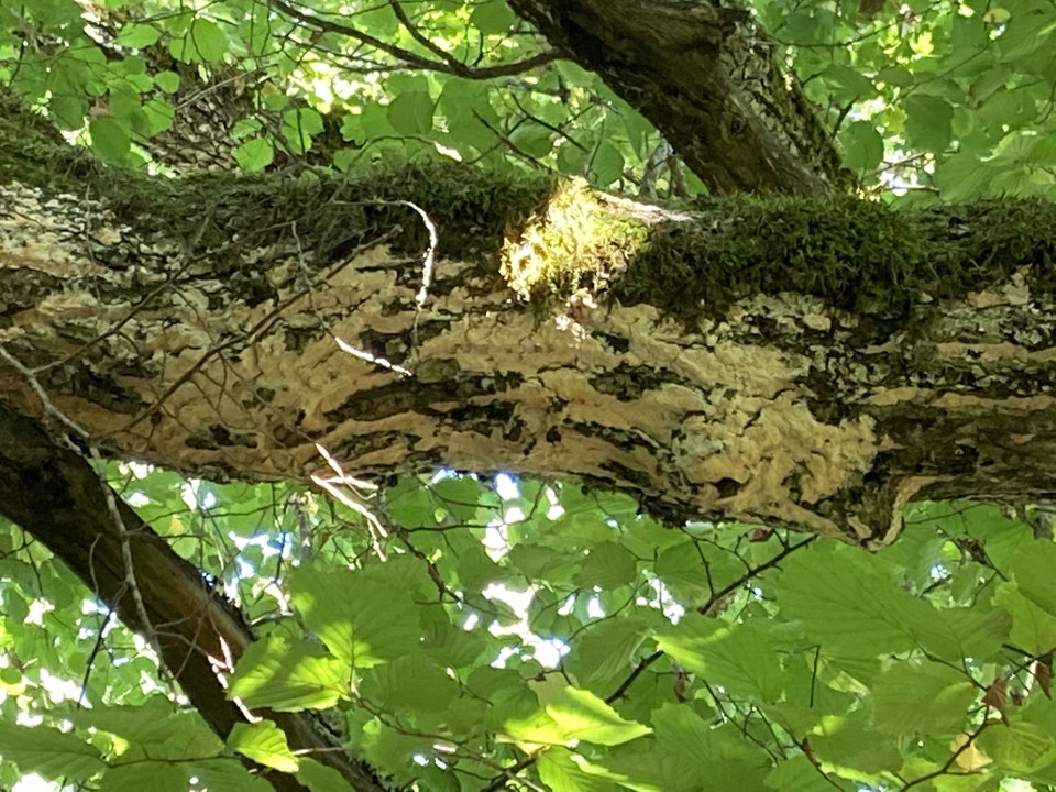
Blekticka, Lohärads prästgård.
Foto: Länsstyrelsen Stockholm -
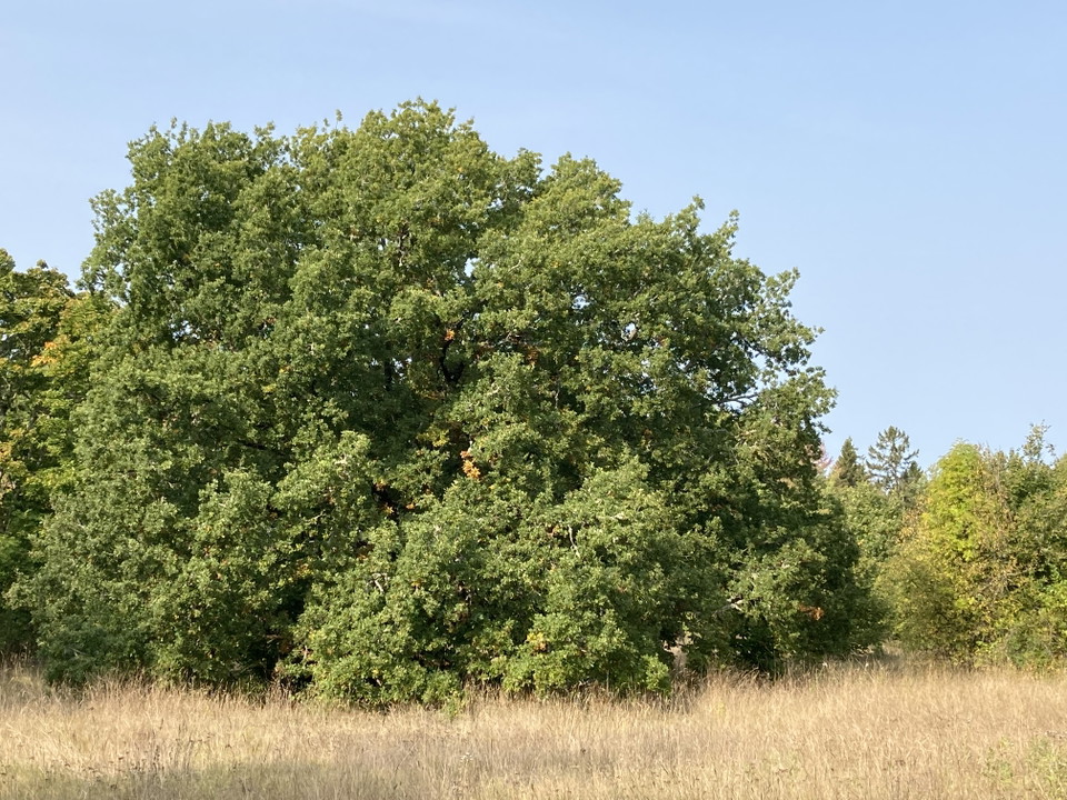
Stor ek i brynet, Lohärads prästgård.
Foto: Länsstyrelsen Stockholm -
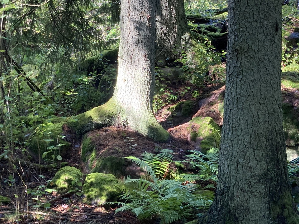
Solglimrande granskog, Lohärads prästgård.
Foto: Länsstyrelsen Stockholm -
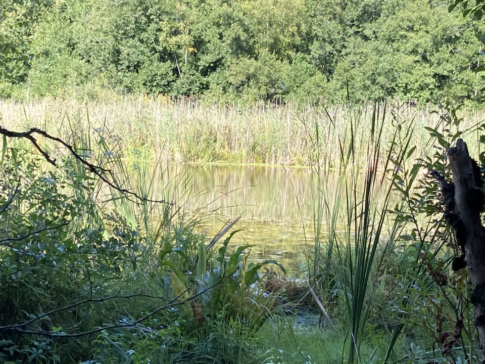
Vattenspegel, Eksjön i Lohärads prästgård.
Foto: Länsstyrelsen Stockholm -
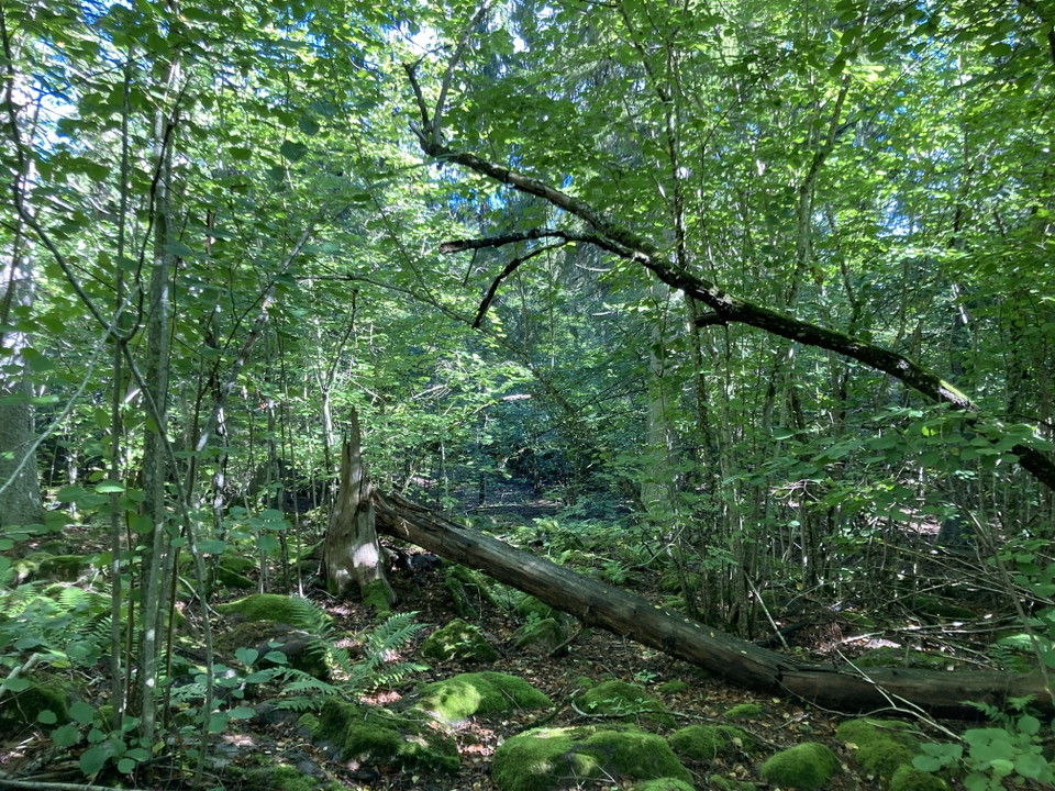
Hassellund, Lohärads prästgård.
Foto: Länsstyrelsen Stockholm
Lohärads prästgård
- Natuurgebied
- Nabij parkeerplaats
- Nabij openbaar vervoer
- Regio: Stockholms län
Acties
Omschrijving
In the Lohärad prästgård (Lohärad Vicarage) Nature Reserve, you can wander through a traditional grazed landscape with hazel groves and ancient oak trees. Look out for the full, sweeping branches of old open-grown spruce trees, moss-covered boulders, tree cavities, and deadwood in various stages of decay. The reserve is home to several rare and red-listed species, including Pachykytospora fungi, tripe fungus, fungus gnats such as the Keroplatus tipuloides, Stella's pseudoscorpion and the comb-clawed beetle Mycetochara humeralis.
Listen for tawny owl, green woodpecker, wryneck, chiffchaff, marsh warbler, and willow warbler.
Several ancient monuments show that people have used the area since the Iron Age. The land belonged to Lohärad Church for many years and has been used for grazing since at least the beginning of the 19th century. Grazing ceased in the early 2000s. The landscape is now being restored. Mowing and grazing is being reintroduced to recreate the more open landscape and benefit the ancient oaks, the traditional meadow flora, and insects that thrive along the edges between woodland and open meadows.
Please note that cattle graze the area. Keep your dog on a leash.
Activiteiten en faciliteiten
- Natuurgebied
Toegankelijkheid
- Nabij parkeerplaats
- Nabij openbaar vervoer
Feiten
Protected since: 2022
Area: 15 hectares
Character: meadows and pastureland, oak pasture, deciduous woodland
Municipality: Norrtälje Municipality
Landowner: the Swedish state
Managing Authority: the County Administrative Board
Type of protection: nature reserve
Routebeschrijving
The nature reserve is located 500 metres north of Lohärad kyrka (Lohärad Chruch), 10 km northwest of Norrtälje town.
By bus: The nearest bus stop, Vik Östra, is located along Kristineholmsvägen, approximately 150 metres south of the entrance to the reserve. A small trail leads into the reserve from the entrance/ planned car park, passing through the pastureland dominated by deciduous trees.
Plan your journey with SL – Storstockholms Lokaltrafik
By car: The nature reserve can be reached by car via Kristineholmsvägen, approximately 700 metres north of Lohärad Church. A car park is planned adjacent to the reserve, but for the time being, it is best to park at the church and walk to the reserve.
Regelingen
To help protect Lohärads Prästgård Nature Reserve, there are certain rules you must observe.
The following activities are prohibited in the nature reserve:
- Digging, chiselling, drilling or otherwise damaging the bedrock, soil or stones.
- Felling or damaging living or dead trees or shrubs.
- Damaging vegetation by digging up plants or removing mosses, lichens or wood-decaying fungi. Picking herbs, flowers, berries and wild mushrooms for personal use is permitted.
- Camping more than two consecutive nights.
- Putting up permanent signs, posters or similar notices. Temporary marker flags, orienteering controls and quiz signs may be put up, provided they are removed after the event.
- Driving motor vehicles, whether on snow-covered or bare ground.
The following exceptions apply:
- Trees that have fallen across a road or path, or onto a property, may be cut up and moved aside.
- Scout groups and outdoor education programmes may carry out field studies and collect animals and plants where necessary. They may also collect natural materials such as stones, sticks, birch bark and moss, and put up small shelters and bird-feeding stations.
- In designated area F1 (see the map in Appendix 1 of the reserve decision), scrub may be cleared to make sledging possible.
- Lohärad Parish or the Lohärad Local Heritage Association may, when necessary, carry out maintenance clearing in designated area F2 (see the map in Appendix 1) and along the paths and at the picnic areas marked on the management map (Appendix 2A), in preparation for the traditional Gökotta (early-morning birdwatching and picnic) and other events in the area.
Contact
E-mailadres
Länsstyrelsen i Stockholm
Organisatie-logotype

Ik ben hier geweest
Ik wil hierheen
Vragen en antwoorden
Stel een vraag aan andere Naturkartan gebruikers.
Beoordelingen
0 beoordelingen
- 5 :
- 4 :
- 3 :
- 2 :
- 1 :
Afbeeldingen van gebruikers
Er zijn nog geen afbeeldingen van gebruikers. Deel als eerste!
