
-
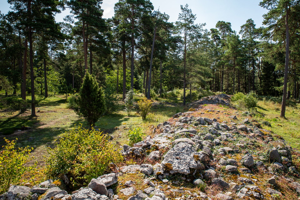
Den västra sidan av Kaupungs slott syns tydligt med en stor vall.
Foto: David Skoog / Länsstyrelsen i Gotlands län -
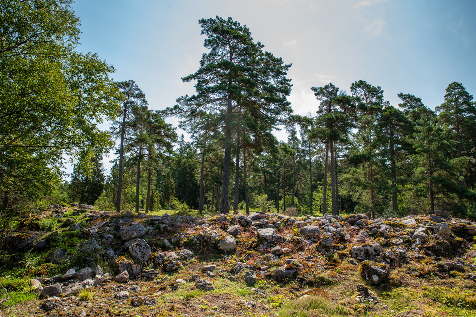
Foto: David Skoog / Länsstyrelsen i Gotlands län -
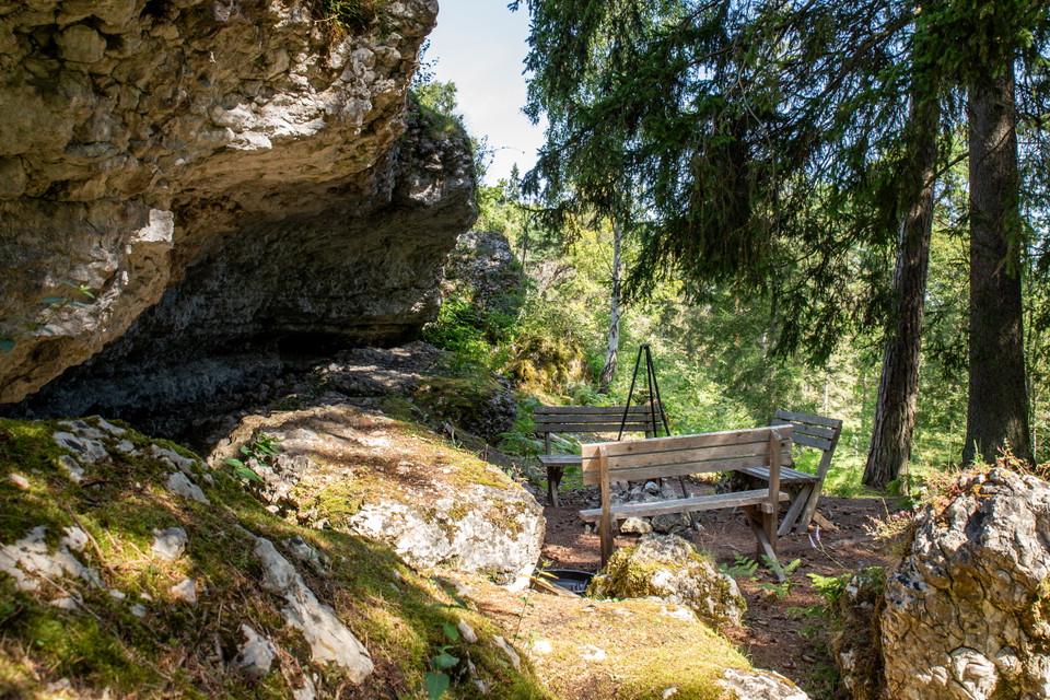
Nedanför klintkanten vid östra sidan av Kaupungs slott har privata aktörer anordnat en eldstad utmed vandringsleden. -
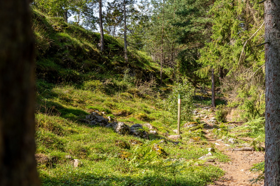
Utmed norra och östra sidan av Kaupungs slott går en klintkant. Nedanför och runt i området finns flera olika stigar som privata aktörer anordnat.
Foto: David Skoog / Länsstyrelsen i Gotlands län -
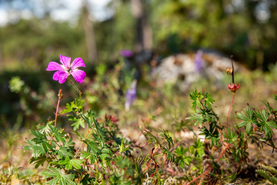
-
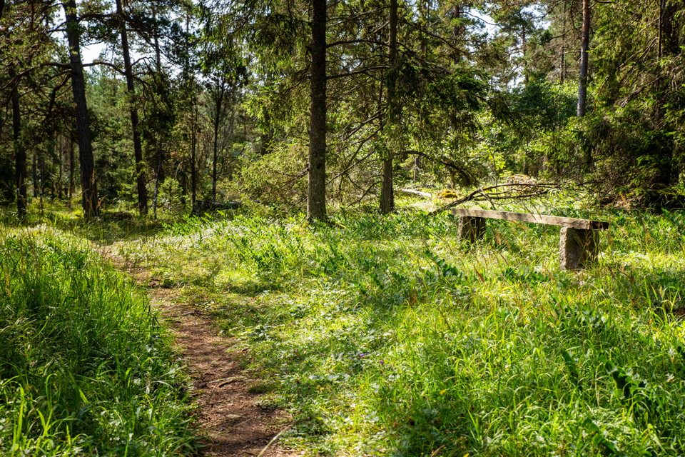
Omkring Kaupungs slott finns flera mindre vandringsleder på privat initiativ.
Foto: David Skoog / Länsstyrelsen i Gotlands län
Kaupungs slott
- Archeologisch
- Regio: Gotlands län
- 6984.41 km van u vandaan
Acties
Omschrijving
Activiteiten en faciliteiten
- Archeologisch
Routebeschrijving
Car: from Visby - take road 143 towards Ljugarn. Turn off at the sign for Ardre, Katthammarsvik and then follow the sign for Ljugarns golf club. Just before the golf course on the left side there is a blue sign for the ancient castle.
From the sign, the forest road is uneven and rough, which makes access to the parking lot somewhat limited.
It is about 100 meters from the information sign to the remains. Forest paths lead you to and around the ancient castle.
It is also possible to park at the golf club and take one of the smaller hiking trails towards the ancient castle
Regelingen
Het land is particulier eigendom. Vergeet niet om overweging te tonen en laat geen onzin.
Contact
E-mailadres
Länsstyrelsen i Gotlands läns naturvårdsförvaltning
Organisatie-logotype

Houd er rekening mee dat sommige teksten automatisch zijn vertaald.
Ik ben hier geweest 1
Ik wil hierheen
Vragen en antwoorden
Stel een vraag aan andere Naturkartan gebruikers.
Beoordelingen
0 beoordelingen
- 5 :
- 4 :
- 3 :
- 2 :
- 1 :
Afbeeldingen van gebruikers
Er zijn nog geen afbeeldingen van gebruikers. Deel als eerste!
