Kustlinjen från Sverigeleden till Nävekvarn

  • Sykling
av 5 stjerner

Detaljer om stien

  • Lengde 47.7 km

Handlinger

  • Veibeskrivelse

Beskrivelse

Bicycle path from Sverigeleden to Nävekvarn

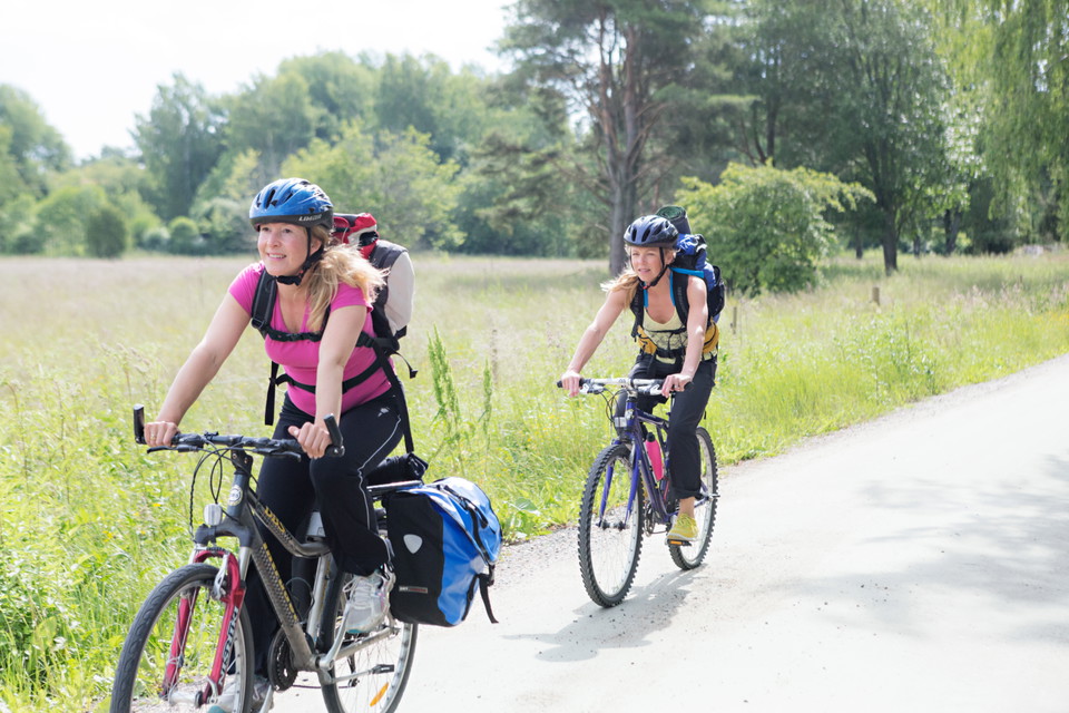
The Sweden Trail is intended for all cycling tourists. It connects to major ferry ports and is therefore easy to reach. The roads have quiet car traffic and are of good standard. The roads along the Sweden Trail are easy to cycle on. The gradient of each section is indicated in the map booklets (on a scale of 1-5). It is really only over the mountain range, through Jämtland and in the Sundsvall area, that the trail is really hilly in places. But here, of course, you are amply compensated by the beautiful views.

Signposting

Clear green signs and a good detailed map (Turist & Cykelguide Sverige, 3 parts, 1:250 000 - 400 000) are available at Sweden by Bike.

Værvarsel (kl. 12.00)

Laster…

Kom hit med offentlig transport

Aktiviteter og fasiliteter

  • Sykling

Kontakt

Adresse

Om du vill felanmäla något? Gör gärna din anmälan i vår app "Felanmälan Nyköpings kommun" som du hittar i din appbutik eller via vår hemsida https://nykoping.se/felanmalan

E-postadresse

Kundservice

+46 155 24 80 80

Jeg har vært her

Jeg ønsker å dra hit

Omtaler

—

0 anmeldelser

av 5 stjerner

5 :
0.0%
4 :
0.0%
3 :
0.0%
2 :
0.0%
1 :
0.0%

Spørsmål og svar

Still et spørsmål til andre brukere av Naturkartan.

Brukernes bilder

Del bildene dine fra stedet!

Naturkartan

Åpne dette i appen
