
-
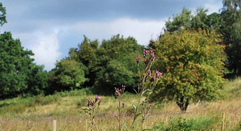
Foto: Jörgen Nilsson -
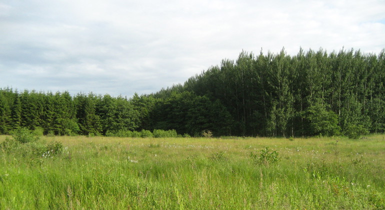
Foto: Länsstyrelsen -
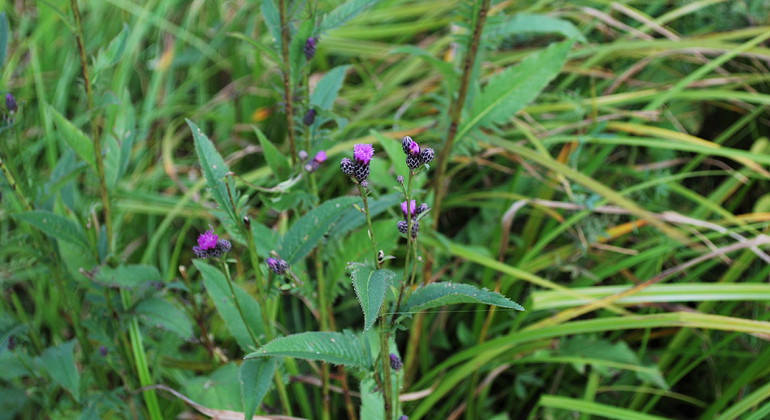
Foto: Jörgen Nilsson -
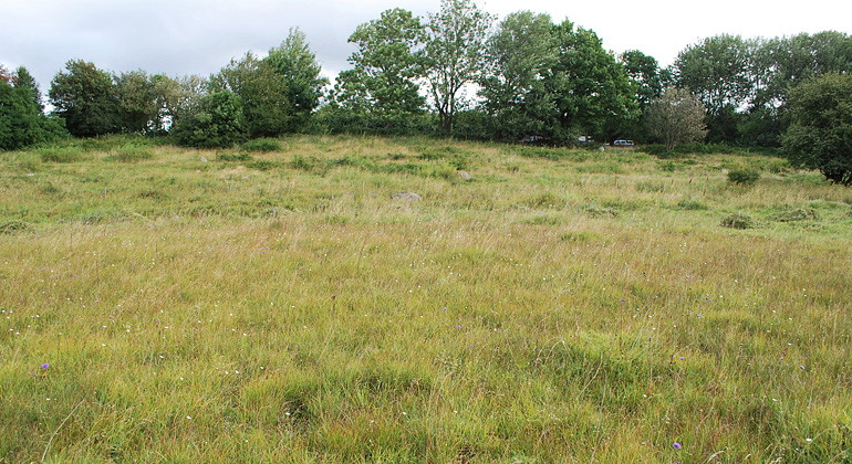
Foto: Jörgen Nilsson -
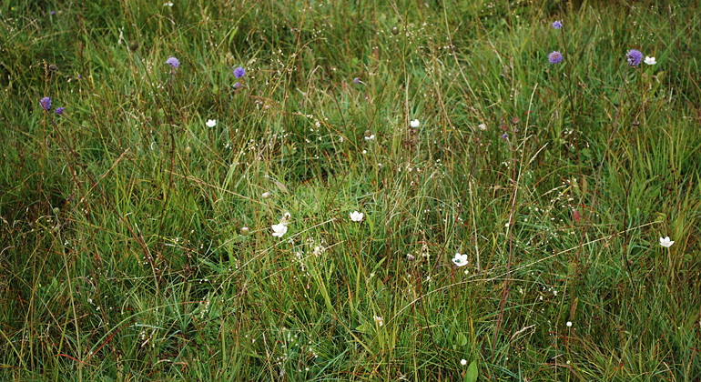
Foto: Jörgen Nilsson -
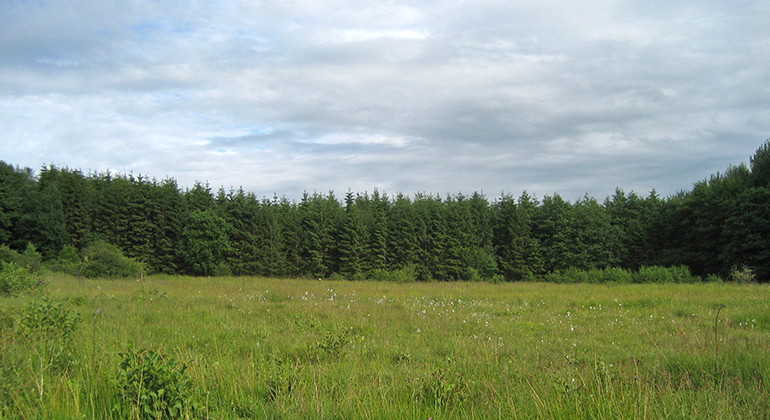
Ängsmark.
Foto: Länsstyrelsen
Lia-Ängen, Bålby, Naturreservat
- Naturreservat
- Fylke: Skåne län
Handlinger
Beskrivelse
Liaängen (also spelled Lia-ängen) is a remnant of the once vast meadows that spread out in the Vegeån valley. The open fields are home to a rich flora with over 150 observed species.
Old meadowland
Older map material shows that Liaängen has been used as hay meadow for a long time. During the 1900s, the meadowland gradually began to change to pasture. As late as the 1980s, forest was planted on significant areas of the old meadowland. The changes during the 20th century have had a negative impact on the area's flora, but today a valuable and interesting flora still grows on Liaängen.
Species-rich flora
More than 150 plant species have been observed in the reserve. The flora is particularly interesting around the dome pond and on the surrounding limestone wet meadows. Here you can find, among other things, bunchberry, hay flower, mayflower, marsh marigold, buttercups and meadow milkweed. Parts of the reserve are covered by relatively young deciduous forest, which is home to, among other things, wood anemone and swallow-wort.
The reserve is home to a number of bird species that depend on open scrubland and pastures, such as the Eurasian wagtail, the chiffchaff and the Eurasian warbler.
Aktiviteter og fasiliteter
- Naturreservat
Fakta
Established: 1992
Size: 8 hectares
Municipality: Svalöv
Manager: County Administrative Board of Skåne
Protection type: Nature reserve and Natura 2000
Veibeskrivelse
Walk, cycle, take public transport or drive here. On the map, you can click on a parking lot or access point. For directions, click on the 'Find here' arrow (below the map).
Forskrifter
**Within the area, special rules and restrictions apply to the right of public access.
For example, it is forbidden to:
- keeping a dog unleashed
- make fires
- camping
- setting up a caravan/mobile home
- ride a horse
It is important to note that this is only a selection of the rules.
Full regulations for visitors
In addition to regulations and prohibitions in other laws and regulations, it is forbidden to:
- digging, drilling, chiseling, painting or otherwise damaging boulders, live trees, bushes and stumps
- pick flowers
- deliberately disturbing wildlife
- ride a horse
- make a fire
- camping or setting up a caravan, camper van or similar
- drive a motor vehicle
- bring an unleashed dog. Unleashed dogs may be used in searches during hunting.
- use a radio, tape recorder or similar in a disruptive manner
- attach a board, poster, sign, poster, inscription, signpost or similar device
Kontakt
Adresse
Under LÄNKAR kommer du till aktuell reservatssida på Länsstyrelsens webbplats, med fördjupande information som kartor, broschyrer och hänvisning till relevanta aktörer. Här finns även en rapportfunktion för dig som vill lämna uppgifter om naturreservaten som vi förvaltar.
E-postadresse
Organisasjonens logotype

Jeg har vært her 1

Jeg ønsker å dra hit 1
Spørsmål og svar
Still et spørsmål til andre brukere av Naturkartan.
Omtaler
0 anmeldelser
- 5 :
- 4 :
- 3 :
- 2 :
- 1 :
Brukernes bilder
Ingen brukerbilder ennå. Bli den første til å dele!
