
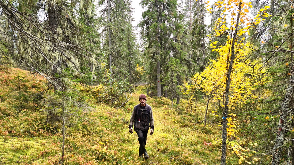


Vandringsstig Bergmyran, Gallejaur
- Fotturer
- Fylke: Norrbottens län
- 6572.06 km fra deg
Detaljer om stien
- Lengde 6.0 km
Handlinger
Beskrivelse
Aktiviteter og fasiliteter
- Fotturer
Kommunikasjon
There is a parking lot near the trailhead in Gallejaur. Directions there are on the page about Gallejaur. To the other end of the trail, at Bergmyrbäcken, there is a poor forest road from Järvträsk, unclear if the road is passable. From the turntable where the trail connects, it is 1.2 kilometers down to the road to Gallejaur. From there it is another 1.1 kilometers to the village of Järvträsk.
Kontakt
E-postadresse
Länsstyrelsen Norrbotten
Organisasjonens logotype
Jeg har vært her 1
Jeg ønsker å dra hit 3


Omtaler
—
0 anmeldelser
- 5 :
- 4 :
- 3 :
- 2 :
- 1 :
Spørsmål og svar
Still et spørsmål til andre brukere av Naturkartan.
Brukernes bilder
Del bildene dine fra stedet!
