
-
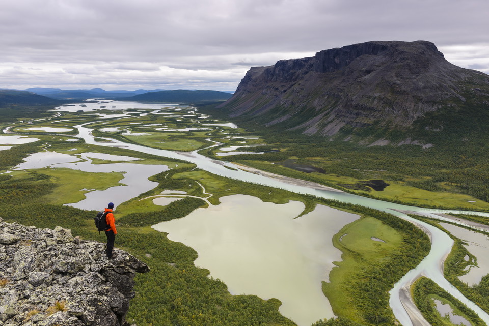
Foto: Mikael Svensson, Johnér -
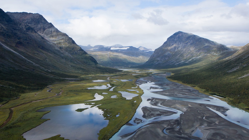
Sarek, Ráhpavuobme/Rapadalen.
Foto: Laponiatjuottjudus -
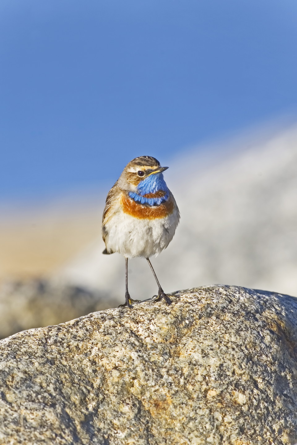
Blåhake
Foto: Jörgen Wiklund, Johnér
Sarek nationalpark
- Nasjonalpark
- Fylke: Norrbottens län
Handlinger
Beskrivelse
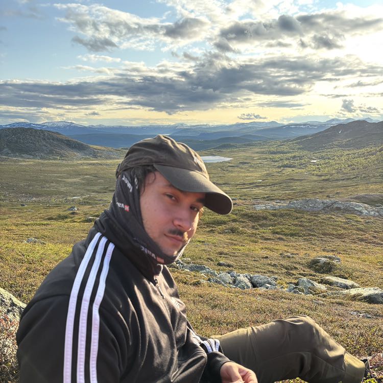
In Sarek you’ll find some of our most dramatic scenery: virgin forests with centuries-old pine, birch-forested valleys, delta land, alpine moors and alpine massifs with glaciers and 2000-metre summits. Deep valleys with alpine streams are cutting through alpine areas. They are rounded U-shaped valleys, chiselled out by moving ice masses during the ice ages.
In the valley depressions, there is a luxuriant abundance of Wolf’s Bane, Globeflower and Alpine Blue Sow-Thistle – a haven for moose. A kilometre from there, barren icy summits host Glacier Buttercup, Snow Bunting and croaking Ptarmigan.
Thousand-year-old migrations of reindeer have carved winding reindeer-paths into the valley floor. The Sámi has inhabited the area for thousands of years, and the ancient remains are plentiful – pitfalls, dwelling sites and old hearths. For the reindeer herders Sarek National Park is an important ground with settlements, migratory trails, calving grounds, foraging areas and reindeer corrals.
Aktiviteter og fasiliteter
- Nasjonalpark
Kommunikasjon
Sarek is one of Sweden’s most inaccessible national parks for anyone who cannot hike in on their own. There are no roads leading up to the national park. To get to the southern part of Sarek, the Kvikkjokk area is the best starting point. Aktse is a good Buses travel from Jokkmokk Kvikkjokk. If you want to enter Sarek from the north, there are communications from both Gällivare and Jokkmokk. Several trains a day go to the Gällivare railway station. The bus station is adjacent to the train. From Jokkmokk you can take a bus via Porjus to travel farther along the Way West.
Länstrafiken Norrbotten (bus and coach operator) website Gällivare Turistcenter website Destination Jokkmokk website
Kontakt
E-postadresse
Länsstyrelsen Norrbotten
Organisasjonens logotype

Jeg har vært her 66










Jeg ønsker å dra hit 209

















Spørsmål og svar
Still et spørsmål til andre brukere av Naturkartan.
Omtaler
1 anmeldelse
- 5 :
- 4 :
- 3 :
- 2 :
- 1 :
Brukernes bilder
Ingen brukerbilder ennå. Bli den første til å dele!

Any hints on crossig river Guohperjakha towards Alggavarre? Any recommended crossing location? Thank you