
-
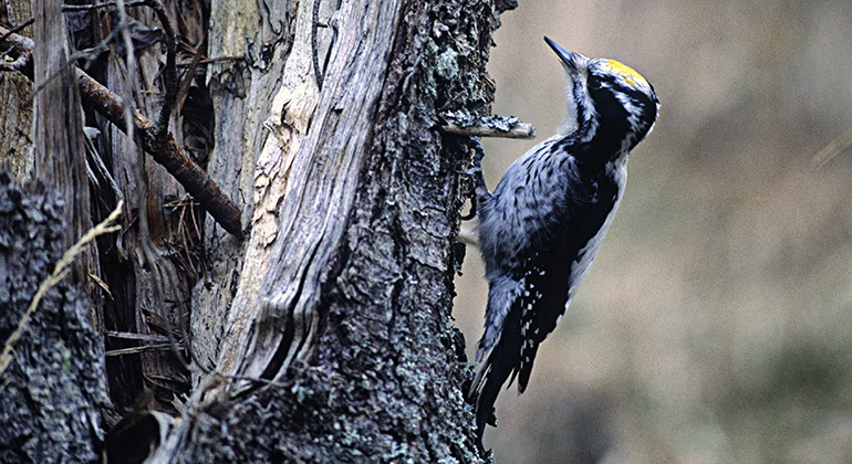
Tretåig hackspett.
Foto: Bengt Hedberg/Johnér -
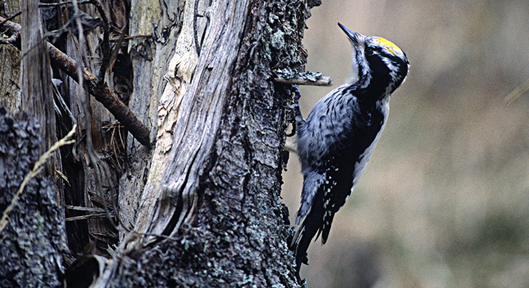
Tretåig hackspett.
Foto: Bengt Hedberg/Johnér
Degeröholmen
- Naturreservat
- Fylke: Norrbottens län
Handlinger
Beskrivelse
The municipal nature reserve Degeröholmen consists of the southernmost part of Degerön island in Luleå archipelago. The forest at Degeröholmen can be largely characterised as pristine forest. It features many windfalls and large amounts of dead wood. The area is 0.4 square kilometres and snowmobiling is forbidden on the island.
Aktiviteter og fasiliteter
- Naturreservat
Fakta
Municipality: Luleå
Year of formation: 2004
Size: 0.4 square kilometers
Manager: Luleå municipality
Form of protection: Nature reserve
Kommunikasjon
Degerön lies between Hindersön and Brändöskär in the northern part of Luleå archipelago. In summer you reach the island by boat and in winter on skis or by snowmobile. Approaching by boat, the easiest way is to enter the inlet north of Degeröholmen. Head towards the mountain, some way south of the jetties. Weather permitting, boats with a small draught can enter the inlet Hagaviken on the south side of the island. (Source: bottenviken.se)
Veibeskrivelse
Degerön is located between Hindersön and Brändöskär in the northern part of the Luleå archipelago. In summer you can reach the island by boat and in winter you can get to the island on the sea ice by ski or snowmobile. Mooring by boat: The easiest way is to enter the bay north of Degeröholmen. Head towards the mountain, further south from the piers. When the weather permits, shallow-draft boats can enter Haga Bay on the south side of the island (Source bottenviken.se)
Forskrifter
All regulations can be found in the reserve decision. It is allowed to:
- hike
- make fires in designated fireplaces
- pick berries and edible mushrooms
- fishing and hunting in accordance with the laws in force
It is not allowed to drive snowmobiles on the island or to damage plant and animal life. Remember the right of public access and protect nature!
Kontakt
E-postadresse
Länsstyrelsen Norrbotten
Organisasjonens logotype

Jeg har vært her 1

Jeg ønsker å dra hit 1
Spørsmål og svar
Still et spørsmål til andre brukere av Naturkartan.
Omtaler
0 anmeldelser
- 5 :
- 4 :
- 3 :
- 2 :
- 1 :
Brukernes bilder
Ingen brukerbilder ennå. Bli den første til å dele!
