
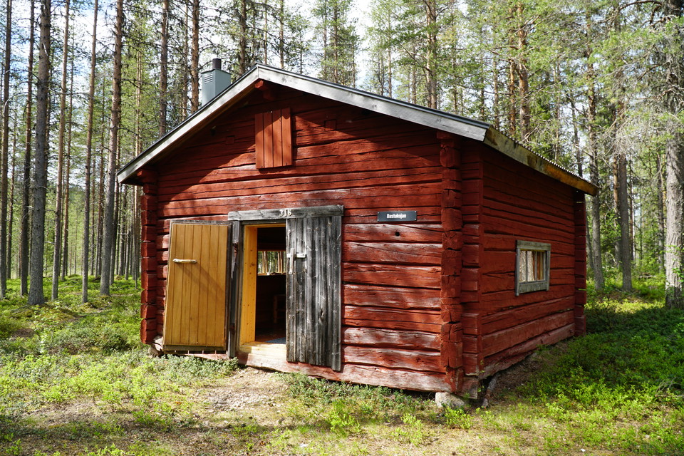
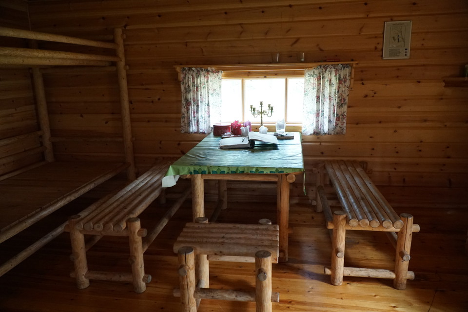
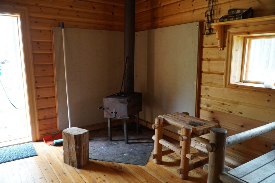
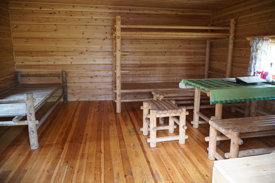
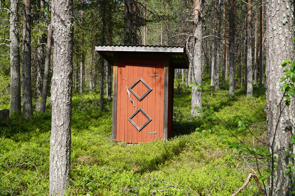
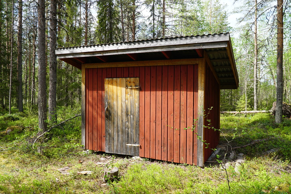
Bastukojan
- Hvilehytte
- Kulturelt miljø
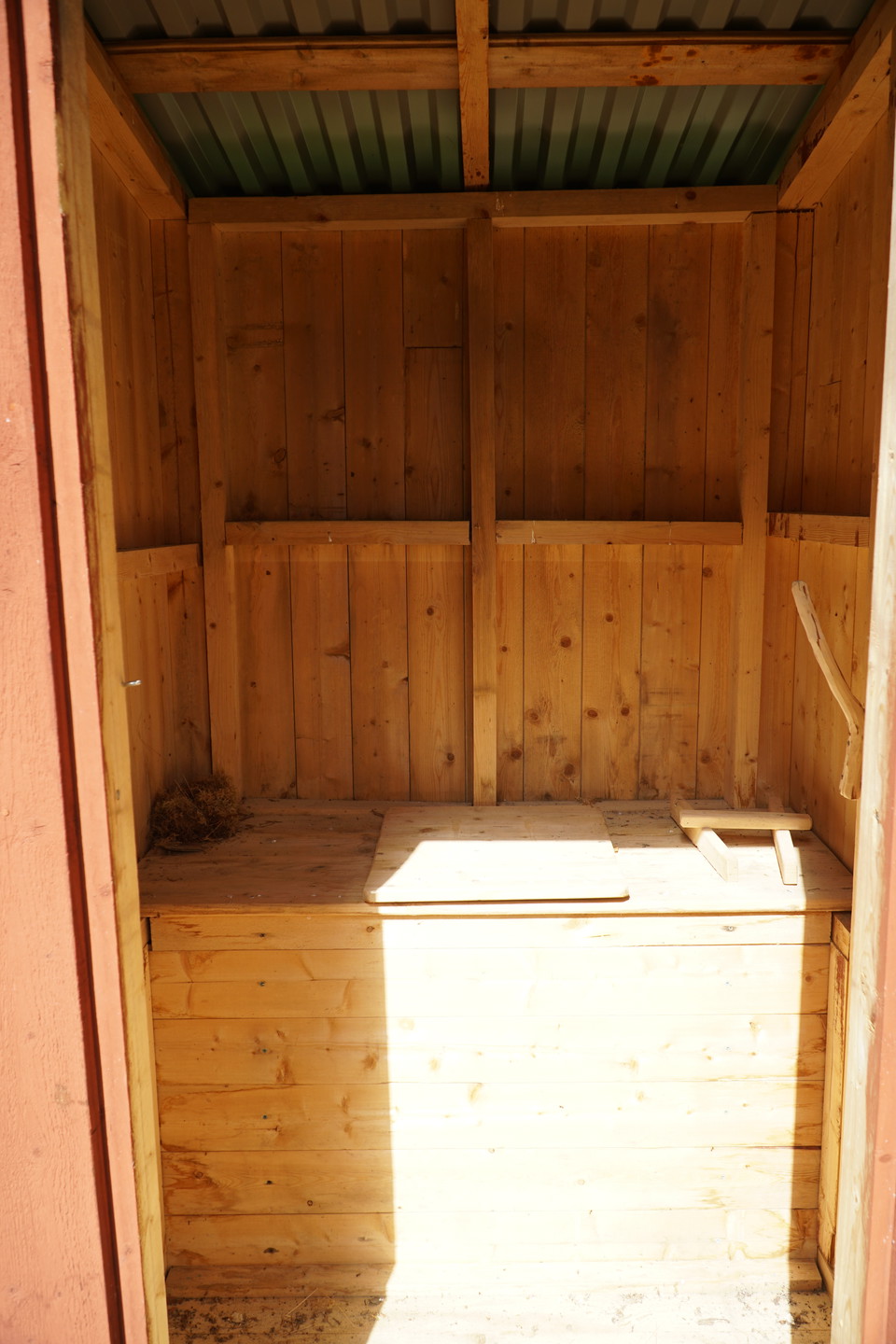
- Toalett
- Fylke: Norrbottens län
- 6602.59 km fra deg
Handlinger
Beskrivelse
Aktiviteter og fasiliteter
- Kulturelt miljø
- Toalett
- Hvilehytte
Fakta
Main authority: Sveaskog
Veibeskrivelse
From Jockfall you cross the bridge and drive on the west side of Kalixälven north about 10 km. Just before Jockselet you turn left to Björkåvägen and follow that road about 7 km. At an intersection you turn left (there's an old sign in the intersection that says Jyppuräbäckskojan). Follow the road another 1 km to a gravel pit. Approx 100 m you'll see a black sign that says "Bastukojan". The trail is about 2 km to Bastukojan.
NB! There are gravel- and forest road that is in varying condition due to time of the year and lumbering.
Coordinates:
Lat: 66.763722
Long: 22.493806
Kontakt
Adresse
Tel. +46-(0)926-740 00
E-postadresse
Överkalix kommun
Organisasjonens logotype

Jeg har vært her
Jeg ønsker å dra hit 1

Omtaler
—
0 anmeldelser
- 5 :
- 4 :
- 3 :
- 2 :
- 1 :
Spørsmål og svar
Still et spørsmål til andre brukere av Naturkartan.
Brukernes bilder
Del bildene dine fra stedet!
