Beste turstier i Krokom

Krokom

Naturkarten samler de turstiene i Krokom som er mest populære blant våre brukere.

Bilder

Kart

22 Beste turstier i Krokom

Fotturer

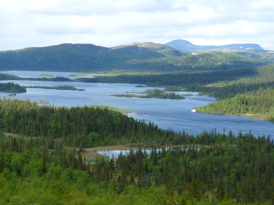
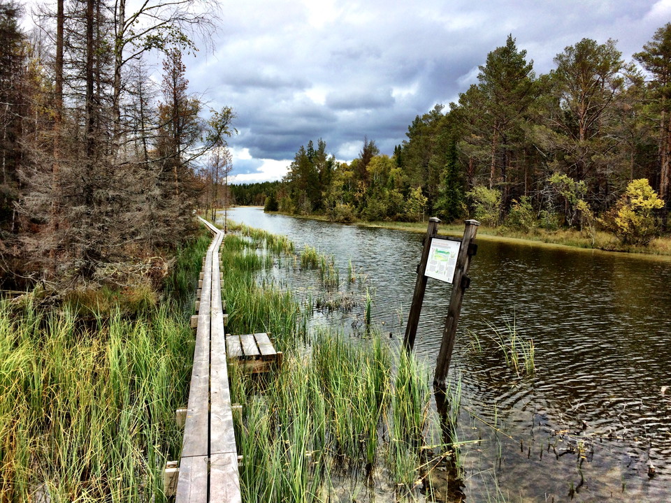
Tysjöarna stigar

  • Kommune: Krokom
  • 6465.94 km fra deg
  • 12.7 km

Du kan vandra runt norra, södra eller båda sjöarna på stigar som löper omväxlande genom skog och öppna marker. Delar av sträckan är spångad men det kan vara svårframkomligt, blött och stenigt och hala rötter på sina ställen. Stigen passerar vindskydd, dass…
Fotturer

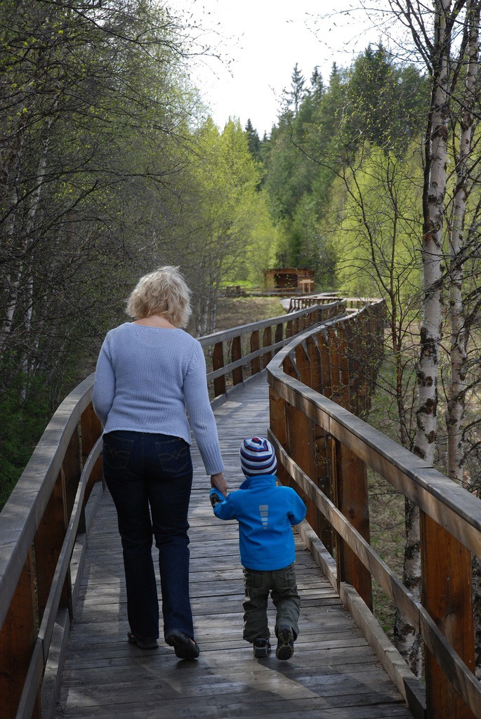
Tysjöarna rampen

  • Kommune: Krokom
  • 6466.12 km fra deg
  • 1.2 km

The ramp that leads from the parking lot to the bird tower at the northern lake is easily accessible with a stroller or wheelchair. On the way you pass a picnic area with a shelter, barbecue area and disabled toilet.

Fotturer

80. Bakvattnet - Ansätten (lätt)

  • Kommune: Krokom
  • 6411.22 km fra deg

At the time of the legal change there were 11 farms in Bakvattnet. When the road from Åkersjön was built a few years later, tourism began with hunting guests. 1970 the lift was built up at Ansätten. The Blomsterleden trail between the village of Bakvattnet…

Fotturer

79. Jänsmässholmen - Ansätten (medel)

  • Kommune: Krokom
  • 6403.94 km fra deg

The County Administrative Board has recently restored the path between Jänsmässholmen and Ansätten village. It is marked in orange and easy to follow. Suitable for both hiking and running. Alternating really old spruce forest and mostly tracked marshes. It…

Fotturer

88. Lakavattnet - Hotagens naturreservat (svår)

  • Kommune: Krokom
  • 6438.48 km fra deg

The walk in this area goes through the gigantic nature reserve of Hotagen. There may be difficult fords, for example over the Hara River in the south. It is teeming with small lakes, streams and bogs if you choose to walk in the interior of the nature reser…

Fotturer

81. Ansätten - Långvattnet (lätt)

  • Kommune: Krokom
  • 6404.14 km fra deg

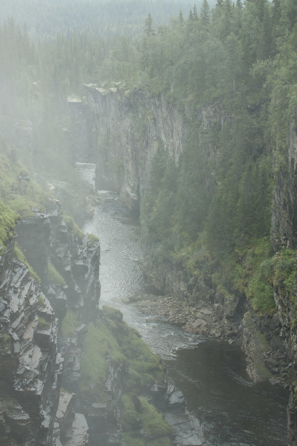
Hike towards Långvattnet: Here you can follow the Ansättåleden trail all the way to Långvattnet. You pass Ansättån which here is more calm flowing than a few kilometers further downstream where it flows in a geologically interesting canyon. If you want to s…

Fotturer

89. Hotagens naturreservat - Gäddede (svår)

  • Kommune: Krokom
  • 6416.04 km fra deg

Here is a section for those who want to discover untrodden ground. A difficult stretch without known paths and trails. There are some major watercourses that you may need to cross, remember to plan for this. Inspire the rest of us with your hiking experienc…

Fotturer

74. Mjölkvattnet - Långsåsdalen (lätt)

  • Kommune: Krokom
  • 6381.11 km fra deg

This hike runs parallel to the snowmobile trail, power line and road the whole way. If you wish, you can instead walk west of Lill-Mjölkvattnet, on the slope of Voepijetjaerhvie. There is a bridge downstream of Nedre Lill-Mjölkvattnet where you cross to the…

Fotturer

87. Almdalens fjällgård - Lakavattnet (lätt)

  • Kommune: Krokom
  • 6430.75 km fra deg

Almdalens Fjällgård, a mountain apartment dating back to the early 1800s, is beautifully situated on the slope at the foot of Grubbfjället in Hotagen's nature reserve, surrounded by fantastic surroundings with old-growth forest and bare mountains. Nature of…

Fotturer

76. Frankrike - Jänsmässholmen (svår)

  • Kommune: Krokom
  • 6393.98 km fra deg

Here is a section for those who want to discover untrodden ground. A difficult stretch without known paths and trails. Inspire us with your hiking experience and pictures from here. Unknown forests need to be discovered and highlighted in the fight for the…

Fotturer

77. Enarsvedjan - Bergesbodarna (medel)

  • Kommune: Krokom
  • 6420.64 km fra deg

Here is a section for those who want a little challenge. There are a few paths or trails, but the forest is probably relatively unknown. Inspire the rest of us with your hiking experience and pictures from here. Unknown forests need to be discovered and hig…

Beste turstier i Krokom

Naturkarten samler de turstiene i Krokom som er mest populære blant våre brukere.

Naturkartan

Åpne dette i appen