
Kristinehamn

Beste turstier i Kristinehamn

Naturkarten samler de turstiene i Kristinehamn som er mest populære blant våre brukere.

Kart

31 Beste turstier i Kristinehamn

Fotturer

Prästöleden, Nötön

  • Kommune: Kristinehamn
  • 6652.02 km fra deg
  • 5.8 km
  • Vanskelighetsgrad: Blå

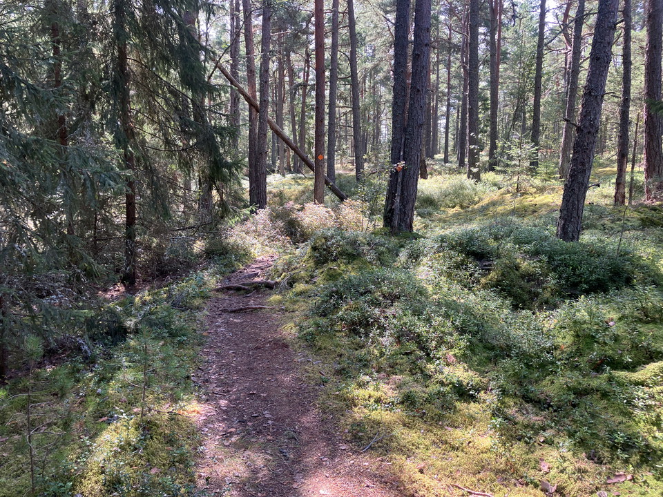
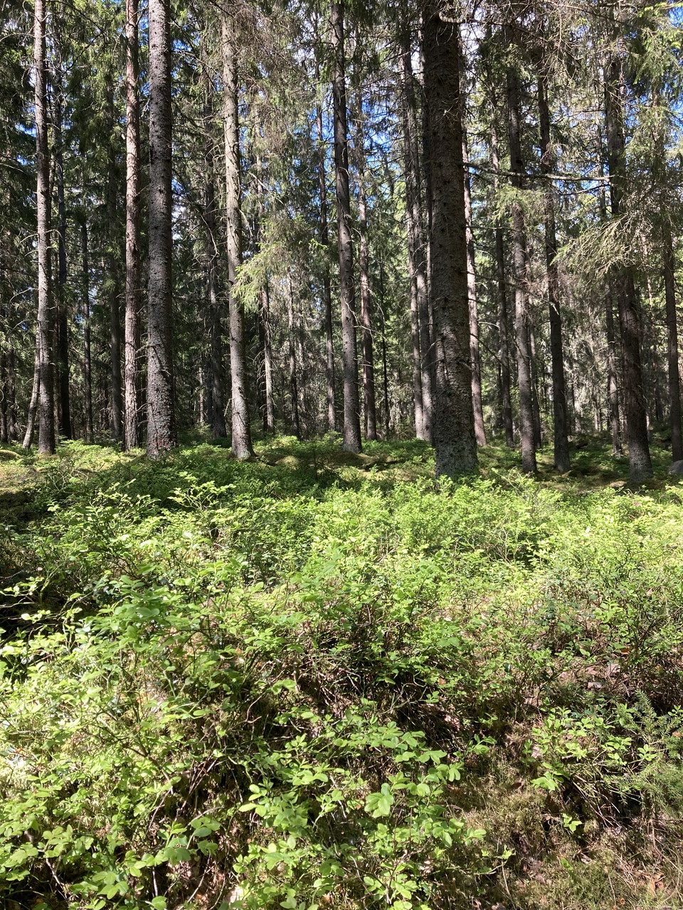
The Prästöleden trail winds up and down over moraine ridges, through open pastures with large oaks and in lush deciduous forests. Nice resting places at Linsöstugan and out on Prästöudden.
Fotturer

Led Alvön

  • Kommune: Kristinehamn
  • 6634.95 km fra deg
  • 0.6 km
  • Vanskelighetsgrad: Blå

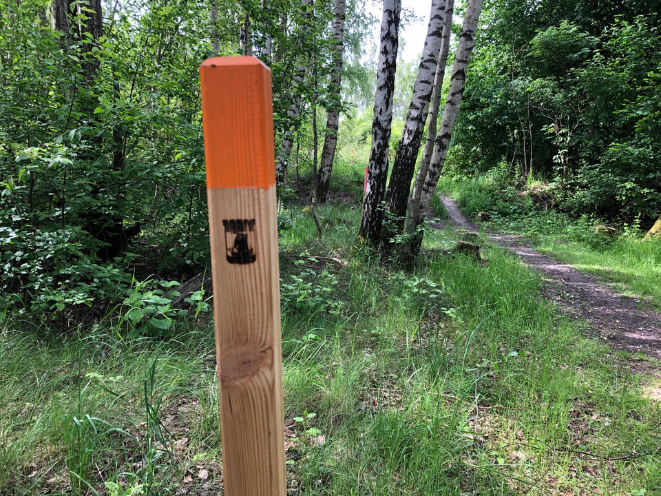
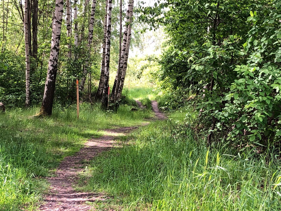
Marked trail on Alvön. Orange marks on trees

Fotturer

Led Furuholmarna

  • Kommune: Kristinehamn
  • 6645.07 km fra deg
  • 0.6 km
  • Vanskelighetsgrad: Blå

Marked path on Furuholmarna. Orange marks on trees

Fotturer

Sandfallet

  • Kommune: Kristinehamn
  • 6641.75 km fra deg
  • 2.2 km
  • Vanskelighetsgrad: Grønn

Description in English...

Fotturer

Kaffeberget runt

  • Kommune: Kristinehamn
  • 6643.81 km fra deg
  • 3.4 km

The trail around Kaffeberget connects with several other trails. Just hike around the hill or combine with other trails.

Fotturer

Förbindelse Hultet

  • Kommune: Kristinehamn
  • 6644.36 km fra deg
  • 0.3 km
  • Vanskelighetsgrad: Grønn

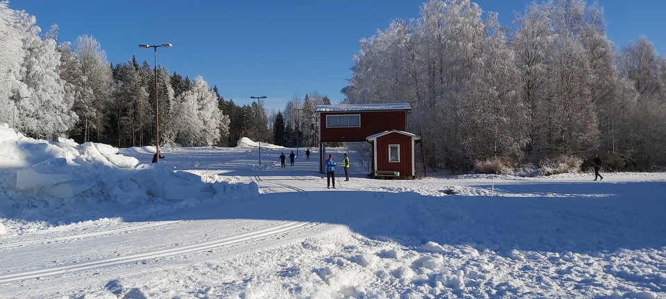
From Kaffeberget you can continue to Hultet with exercise trails measuring 1.5-10 km. In winter, Hultet has ski trails measuring 1-10 km and 5 km on lighted trails.

Fotturer

Tre öars led

  • Kommune: Kristinehamn
  • 6641.27 km fra deg
  • 4.0 km
  • Vanskelighetsgrad: Grønn

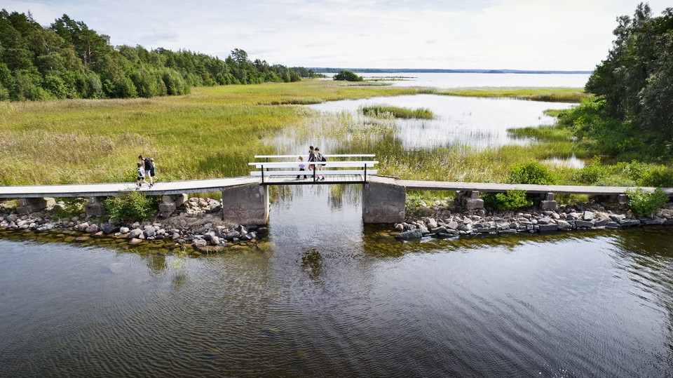
Hike across three Lake Vänern islands Tre Öars Led is a scenic hiking trail that begins on Vålön, the largest island in Kristinehamn, and continues across footbridges to the nearby islands of Kalvön and Sibberön – both protected nature reserves. The 4-kilom…

Fotturer

Varnans Bäckdal

  • Kommune: Kristinehamn
  • 6643.26 km fra deg
  • 3.0 km
  • Vanskelighetsgrad: Blå

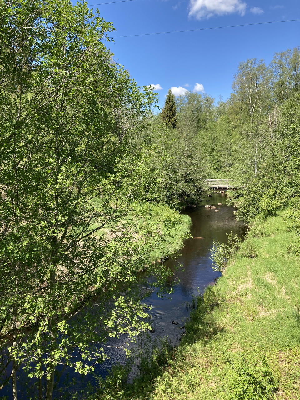
The area around the small river of Varnan is mostly untouched and has a special vegetation with many rare plants and animals. The river is of both biological and cultural importance.

Fotturer

Selanty naturstig

  • Kommune: Kristinehamn
  • 6656.52 km fra deg
  • 3.0 km
  • Vanskelighetsgrad: Grønn

Selanty path is a narrow pathway that goes along the river Visman, from the park called Selanty to Värmlands Säby in the south.

Fotturer

Förbindelse Sannaleden

  • Kommune: Kristinehamn
  • 6641.17 km fra deg
  • 6.0 km
  • Vanskelighetsgrad: Grønn

Start at Kristinehamn's guest harbor and walk along the water to Kristinehamn Herrgårdscamping. There is lovely nature here with deciduous trees such as willow, birch, alder and hedge. The beach forest between Kristinehamn Arena and Kristinehamn Herrgårdsca…

Fotturer

Sannaleden

  • Kommune: Kristinehamn
  • 6640.98 km fra deg
  • 6.0 km
  • Vanskelighetsgrad: Grønn

This trail runs between the campsite, Kristinehamns Herrgårdscamping, and the guest marina. Parts of the trail follows the lakeside, and it is easy to continue onto the waterfront walkway along Vålösundet toward the Picasso sculpture.

Fotturer

Järnleden

  • Kommune: Kristinehamn
  • 6638.28 km fra deg
  • 30.0 km
  • Vanskelighetsgrad: Blå

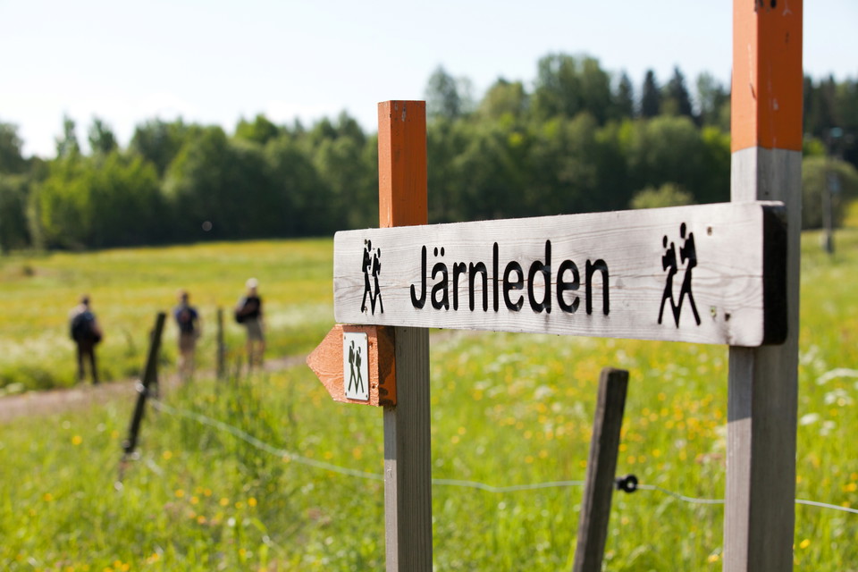
SECTIONS Hytte - Bergsjötorp Medium 5 km, 1.5-2 hours This is an easy trail with gravel and forest paths. It takes you along the old freight route of the iron, along the canal of Norsbäcken (built 1630). The canal runs into Lake Bergsjön and the trail follo…

Fotturer

Värmlands Säby

  • Kommune: Kristinehamn
  • 6656.68 km fra deg
  • 5.5 km
  • Vanskelighetsgrad: Grønn

Värmlands Säby lies on land of great cultural heritage. One thousand years ago this area was owned by the monastery of Riseberga. This nature reserve has an abundance of plants, magnificent old oak trees and rich bird life. In the northern part of the reser…

Fotturer

Jacquelines naturstig

  • Kommune: Kristinehamn
  • 6642.27 km fra deg
  • 2.5 km
  • Vanskelighetsgrad: Grønn

This trail takes you through the forest and along small roads in the housing area next to the lake. A visit to the southernmost viewpoint is recommended. It has a breathtaking view of the lake, which is the largest lake in the European Union. The path start…

Fotturer

Förbindelse Kaffeberget

  • Kommune: Kristinehamn
  • 6644.45 km fra deg
  • 3.4 km
  • Vanskelighetsgrad: Grønn

Från Kaffeberget kan du genom förbindelseleden vandra till Kvarndammen och sedan korsa RV26 för att ansluta till leden mot Sättrastugan.

Beste turstier i Kristinehamn

Naturkarten samler de turstiene i Kristinehamn som er mest populære blant våre brukere.

Naturkartan

Åpne dette i appen