Köping

Beste turstier i Köping

Naturkarten samler de turstiene i Köping som er mest populære blant våre brukere.

Kart

9 Beste turstier i Köping

Fotturer

Billingens naturstig

  • Kommune: Köping
  • 6738.07 km fra deg
  • 4.8 km

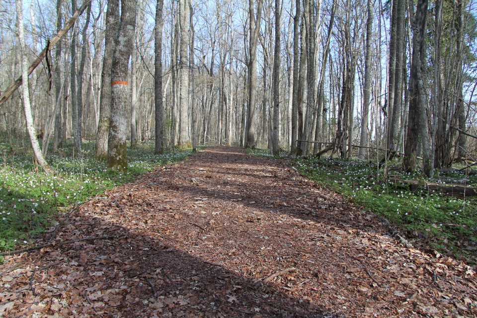
The trail is 4.8 kilometers long and winds through a large cow pasture. The path is marked with orange paint on trees, posts and arrows. Along the path there are 13 signs on which you can read about the nature and history of Billingen. The first 300 meters…
Fotturer

Vandringsled, Hedströmmen norra delen

  • Kommune: Köping
  • 6703.90 km fra deg
  • 1.2 km

There is a well-trodden path here, which runs along the edge of the ravine in places. The path is about 1.2 kilometers long. It goes over a couple of bridges. In the northernmost part there are fantastic berry fields.

Fotturer

Vandringsled, Venabäcken

  • Kommune: Köping
  • 6715.18 km fra deg
  • 0.2 km

From the parking lot there is a 200 meter long path to Musseludden. There you will find a rest area where you can have a barbecue. The path is marked with orange color on the trees.

Fotturer

Vandringsled, Lindöberget

  • Kommune: Köping
  • 6731.23 km fra deg
  • 2.0 km

The hiking trail starts at the parking lot. To get to Lindöberget itself, walk about 500 meters towards the water. Follow the gravel road and then turn off the road at an orange-marked post. Walk straight across the field towards the information board you s…

Pilegrimsrute

Köping-Kolsva, Romboleden Etapp 1

  • Kommune: Köping
  • 6713.37 km fra deg
  • 13.7 km
  • 210
  • Vanskelighetsgrad: Grønn

Between the medieval town of Köping and the industrial community of Kolsva the Romboleden runs along the old KUJ railway embankment. The railway was built to carry ore and iron from Bergslagen to the lake Mälaren. It is flat and easily walked and you can ju…

Pilegrimsrute

Munktorp - Köping, Romboleden Anslutningsled Etapp 1:1

  • Kommune: Köping
  • 6725.44 km fra deg
  • 15.0 km
  • 300
  • Vanskelighetsgrad: Grønn

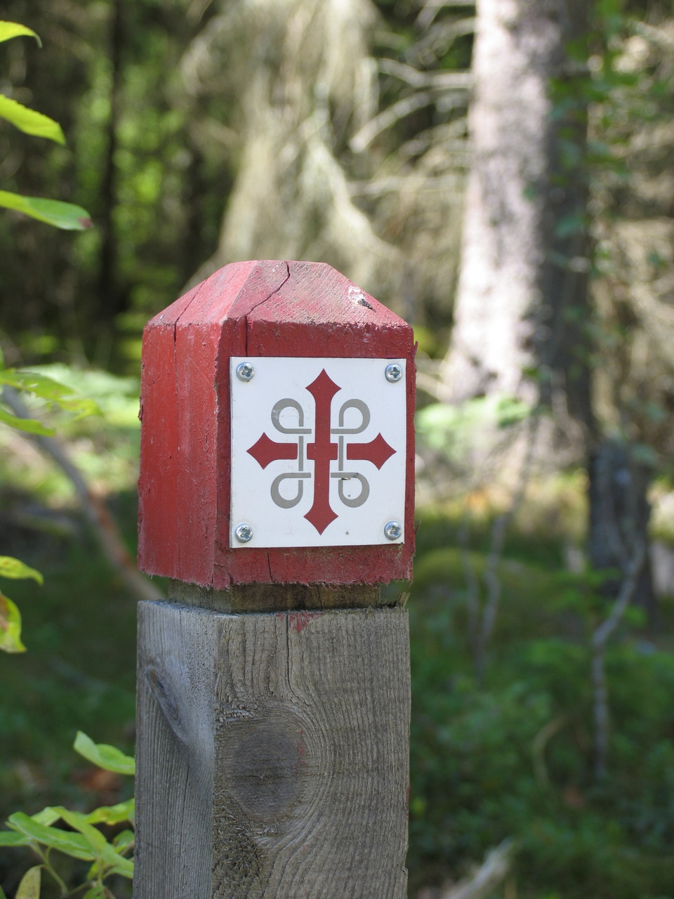
On this stage you will walk along small roads through the countryside. It is easy walking, or you could cycle. Beside the trail you will see productive farmland, farmhouses and manors. According to tradition the English Abbott David, “Västmanlands Apostel”,…

Pilegrimsrute

Kolsva - Hed, Romboleden Etapp 2

  • Kommune: Köping
  • 6705.12 km fra deg
  • 10.6 km
  • 165
  • Vanskelighetsgrad: Grønn

On this stage you will walk through the woods, on the old KUJ railway embankment. Once used to transport iron and ore from Bergslagen down to Köping by the lake Mälaren. This section is easily walked, and you can cycle as well as walk. You are hiking from t…

Beste turstier i Köping

Naturkarten samler de turstiene i Köping som er mest populære blant våre brukere.

Naturkartan

Åpne dette i appen