Vejbystrand - Hålehall, Skåneleden, Kust till kust
- Kommune: Ängelholm
- 6732.28 km fra deg
- 11.1 km
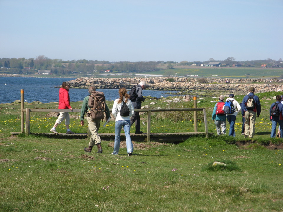
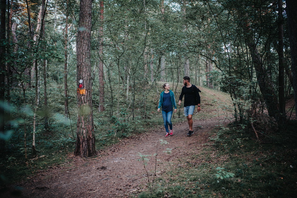
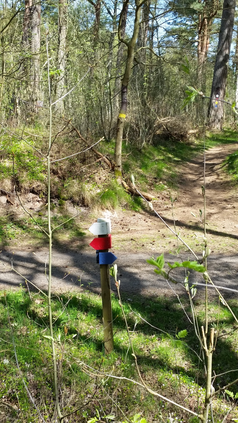
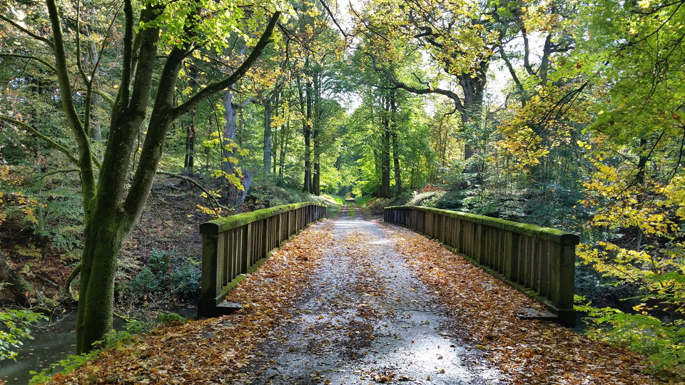
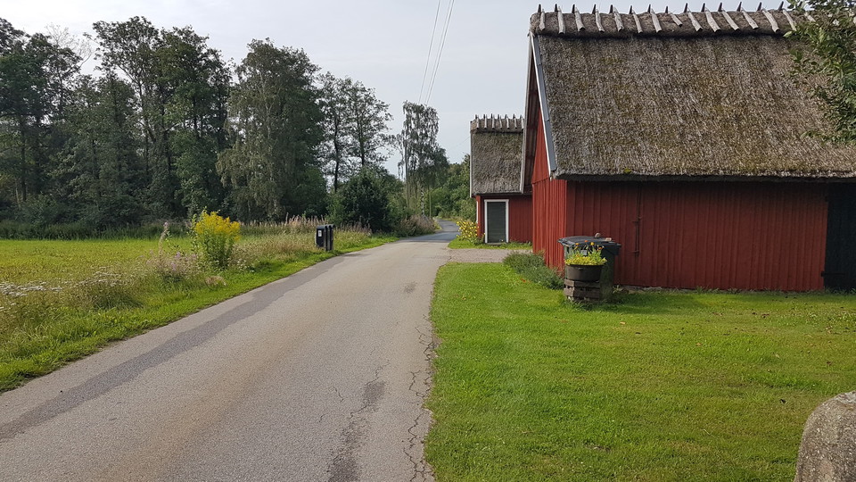
Trail between Vejbystrand - Hålehall. Varying terrain. More than 50% on nature trail.

Ängelholm
Naturkarten samler de turstiene i Ängelholm som er mest populære blant våre brukere.
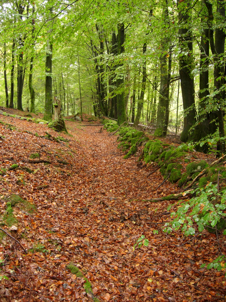
Trail between Vejbystrand - Hålehall. Varying terrain. More than 50% on nature trail.
Trail between Brammarp - Båstad. Varying terrain. More than 50% on nature trail.
Trail between Vejbystrand - Ängelholm. Varying terrain. More than 50% on nature trail.
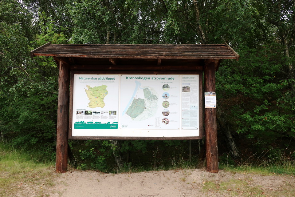
Kronoskogen is centrally located in Ängelholm and right next to the bus and train. It offers a number of different hiking trails of varying lengths. The beach forest area is one of the few natural dune landscapes in Sweden. The trails run through spruce and…
Kronoskogen is centrally located in Ängelholm and right next to the bus and train. It offers a number of different hiking trails of varying lengths. The beach forest area is one of the few natural dune landscapes in Sweden. The trails run through spruce and…
Kronoskogen is centrally located in Ängelholm and right next to the bus and train. It offers a number of different hiking trails of varying lengths. The beach forest area is one of the few natural dune landscapes in Sweden. The trails run through spruce and…
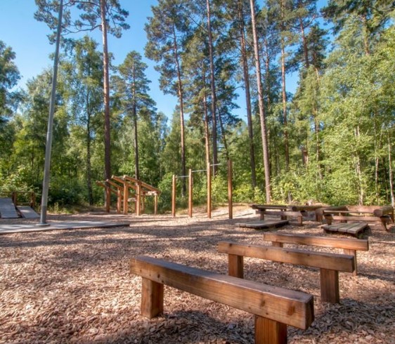
The electric light trail in Nybroskogen is located next to the Rowing Club in Ängelholm. The length of the track is 2.5 km. There is also an outdoor gym.
Kronoskogen is centrally located in Ängelholm and right next to the bus and train. It offers a number of different hiking trails of varying lengths. The beach forest area is one of the few natural dune landscapes in Sweden. The trails run through spruce and…
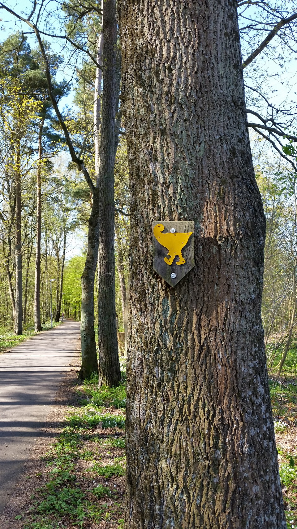
Otto's round is a year-round hike of 11.5 km in Kronoskogen and along Rönne å. The hike starts at Stortorget / Tourist Office and is marked with a yellow, walking clay cuckoo. Included in IVV - International Folk Sports Federation's hikes. Stamp is availabl…
Trail that starts in Strövelstorp and goes out to the mouth of Vegån, about 8 km, passes Vegeholm Castle and connects in Strövelstorp to Örjabäcksleden of 4.5 km to Ausås. Included in IVV - International Folk Sports Federation's hikes.
The tour starts in central Ängelholm and follows nice cycle paths through the city, further along the sea and on the way you pass small cozy communities. In Vejbystrand you turn inland on a country road and continue through agricultural landscapes up to Mar…
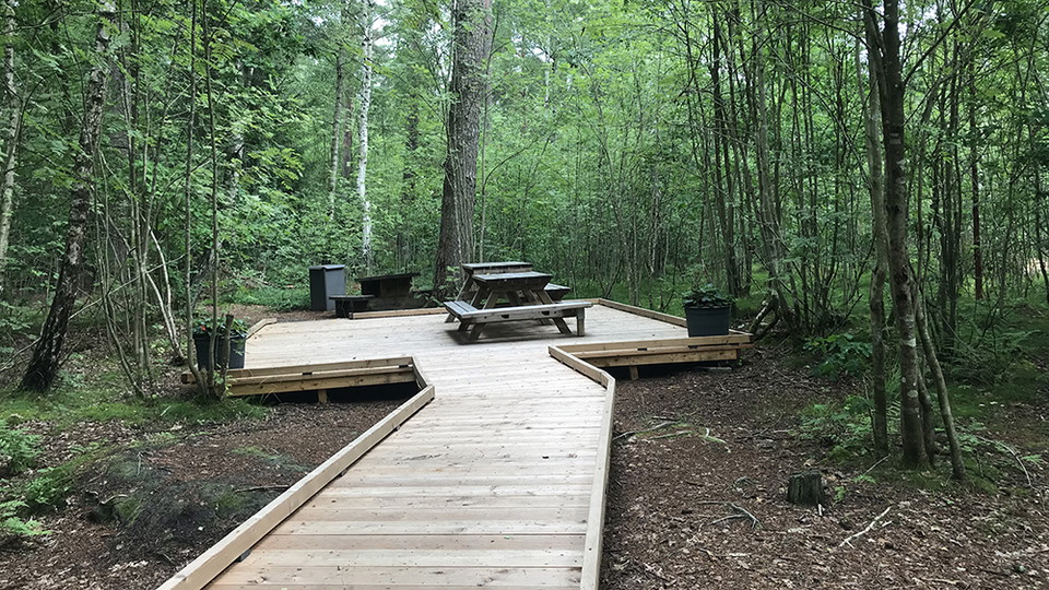
A small part of the Skåneleden trail in Kronoskogen has been adapted for accessibility with a 1.2 meter wide footbridge. There is a rest area in the middle of the forest so that everyone can enjoy the changing seasons, smells and sounds of the forest. You c…
Naturkarten samler de turstiene i Ängelholm som er mest populære blant våre brukere.