
-
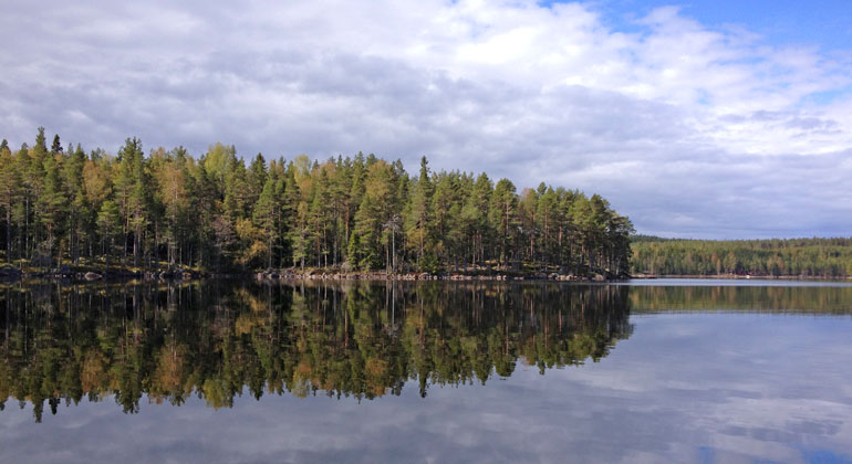
Foto: Länsstyrelsen Dalarna -
-
-
Långön, Naturreservat
- Naturreservat
- Fylke: Dalarnas län
Handlinger
Beskrivelse
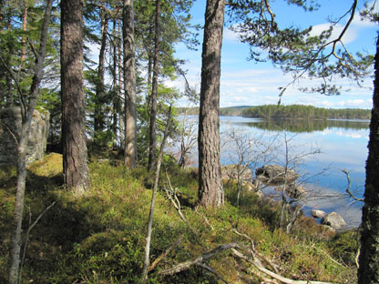
Långön is the largest island in Ågsjön and is a nice excursion destination for anyone who likes outdoor activities. The island is completely undeveloped and easy to get ashore on boat or on ice. Here an almost 200-year-old natural forest-like forest grows where many rare species thrive.
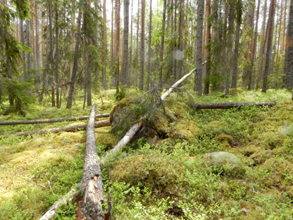
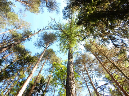
The island is hilly with a blocky terrain. The forest on the island consists of older pine, spruce and coniferous forest. It differs from the forest on the mainland by having a higher volume of wood and larger elements of birch, aspen and willow, as well as along the sandy beach. The forest is naturally rejuvenated in addition to some planted larch trees and has an age of up to 150-200 years. Fire stumps testify that the area previously burnt. The impact on the forest is also in the form of dimension cutting that was carried out during the 1870s.
Långön is located near Åg's farm. Åg's mill was founded in 1828 by Kopparberg's mountain range as an auxiliary site for Svartnäs mill. Despite the proximity to the mill, the tracks from felling at Långön are few.
On the southern side of Långön there is a natural place to set camp. Here are also traces of camp fires and some seating in the form of simple laid-out planks.
Aktiviteter og fasiliteter
- Naturreservat
Veibeskrivelse
Take road 850 to Vintjärn and turn right towards Ågs bruk. Keep left after about 2.5 km and right after another kilometer. Continue for about 3 km until you reach an overgrown gravel pit on the left and a gravel field on the right where you can park.
At the shore of Ågsjön there is a boat ramp for boat owners to use to launch their boats in Ågsjön. The boat ramp consists of a small road that goes down into the lake just north of the stream in the middle of Hornbobrändan nature reserve. It is managed by the Ågsjön fishing area association.
Forskrifter
In the reserve it is not allowed to:
- damage growing or dead - standing or fallen - trees, stumps and bushes, with the exception of collecting loose, small, dry twigs for the purpose of making a fire.
- driving a motorized vehicle on bare ground in the terrain
Without the permission of the County Administrative Board, it is also not permitted to:
- dig up plants, pick mosses, lichens and wood-living fungi or collect animals (such as insects).
Kontakt
E-postadresse
Kontaktcenter Falu kommun
Organisasjonens logotype

Jeg har vært her 1

Jeg ønsker å dra hit 2
Spørsmål og svar
Still et spørsmål til andre brukere av Naturkartan.
Omtaler
0 anmeldelser
- 5 :
- 4 :
- 3 :
- 2 :
- 1 :
Brukernes bilder
Ingen brukerbilder ennå. Bli den første til å dele!
