


Bergsstigen
- Fotturer
- Terrengløping
- Parkering i nærheten
- Fylke: Dalarnas län
- 6647.29 km fra deg
Detaljer om stien
- Lengde 11.0 km
- Vanskelighetsgrad Rød – krevende
Handlinger
Nåværende
Due to the storm Johannes, there are some trees over the trail and it is difficult to get around in parts of the area. Work is underway to clear the trail and remove trees. Forestry machines are working in the area so be aware and keep a distance (at least 90 meters) to machines at work. Watch out for fallen trees, leaning trunks, hanging branches and other signs of instability in the forest.
Beskrivelse
Aktiviteter og fasiliteter
- Fotturer
- Terrengløping
Tilgjengelighet
- Parkering i nærheten
Fakta
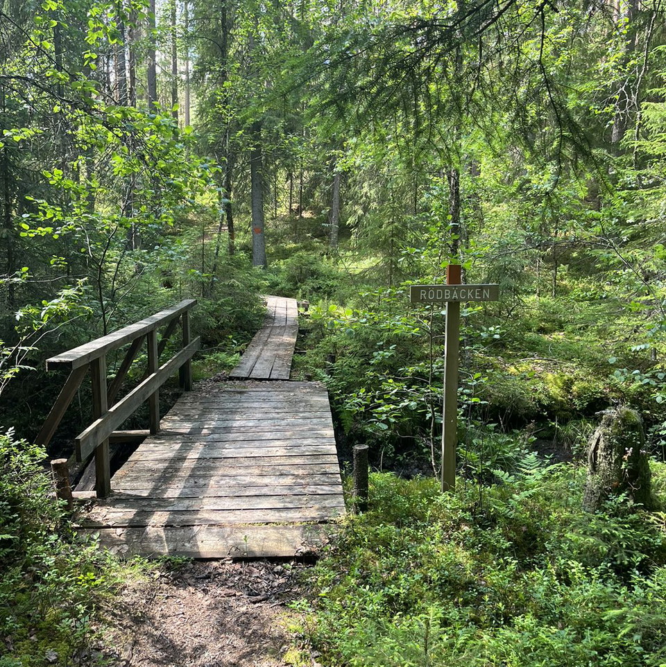
The mountain trail is well marked with orange trees and gray and blue signposts.
The mountain trail is managed by Falu municipality.
Parkering
Free parking is available at Lugnet
Kommunikasjon
Buses from both Falu C and Borlänge C stop outside Lugnet sports hall. From here it is about 400 meters to the starting point of Bergsstigen.
Veibeskrivelse
The trail starts at the pond above Lugnet ski stadium. Turn off the E16 at Lugnetrondellen and take the first left towards Skuggarvet. Then turn right onto Sjulsarvsvägen and continue until you reach a large gravel parking lot.
Nedlastinger
Kontakt
E-postadresse
Kontaktcenter Falu kommun
Organisasjonens logotype

Jeg har vært her 40







Jeg ønsker å dra hit 69









Spørsmål og svar
Still et spørsmål til andre brukere av Naturkartan.
Omtaler
1 anmeldelse
- 5 :
- 4 :
- 3 :
- 2 :
- 1 :
Brukernes bilder
Ingen brukerbilder ennå. Bli den første til å dele!

Fint men ganska krävande (inte minst med nedfallna träd) Ha laddaf telefon med gps om du kommer bort från led för då kan man irra bort sui här faktiskt. Kombinera med att beskåda utsikten från backhoppartornet.