Värsnäs, anslutning KS3/KS4 - Kalmarsundsleden
- Kommune: Kalmar
- 0.3 km
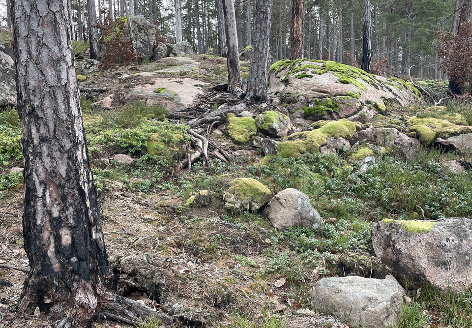
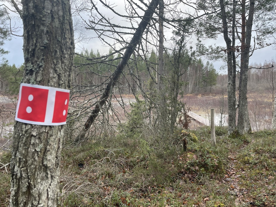
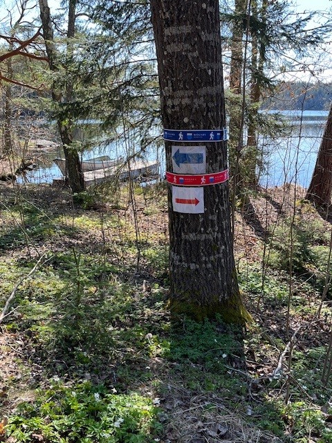
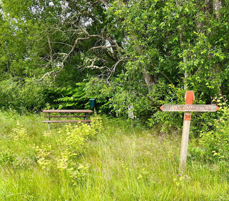
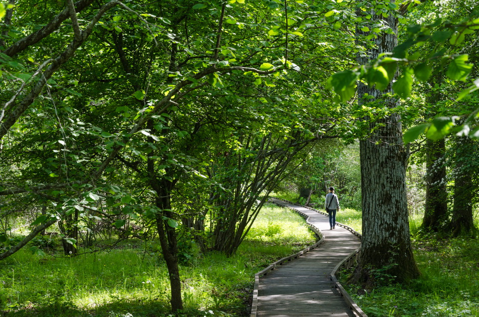
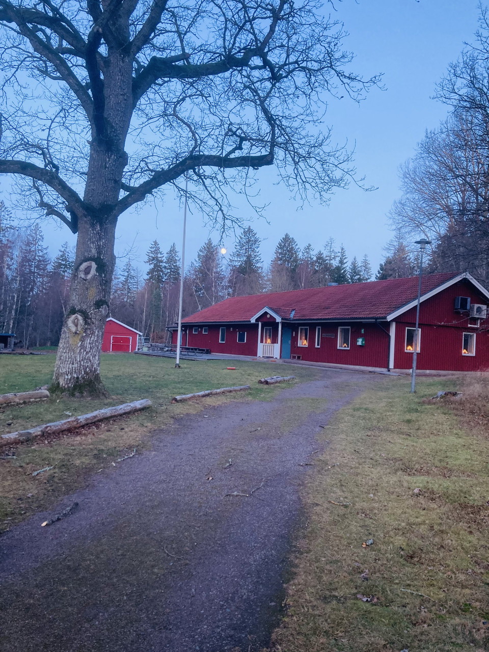
This route takes you from the trailhead and car park at Värsnäsgården to the Kalmarsundsleden, a distance of 300 metres.

Kalmar län och Öland
Naturkarten samler de turstiene i Kalmar län och Öland som er mest populære blant våre brukere.
This route takes you from the trailhead and car park at Värsnäsgården to the Kalmarsundsleden, a distance of 300 metres.
Great Ekenäs Roundabout
This trail takes you from the Ekenäs parking lot all the way up to the outdoor museum at Norrskogen. It is not a loop but it is entirely possible to connect to several of the other trails in the area.
This easy hike is perhaps the finest circular trail in Kalmar municipality with the most varied natural landscape. From rich lands you are led through a varied natural landscape along the coast out on beautiful beach meadows, past seal colonies out in the s…
A slightly wooded path between Klockslätten and Kristkällan in the Prästhag area.
The Blue Loop is a shorter hike in the Aboda Nature Reserve, perfect for those who want to experience the area’s forest environments and the proximity to Aboda Cliff on a moderate hike. The reserve is dominated by mixed coniferous forest with spruce and pin…
About the Emigrant Trail Through forests and meadows, past cottages and stone walls, this 110-kilometre-long hiking trail winds its way through the landscape. The trail alternates between footpaths, forest roads, gravel roads, and smaller paved roads, follo…
About the Emigrant Trail Through forests and meadows, past cottages and stone walls, this 110-kilometre-long hiking trail winds its way through the landscape. The trail alternates between footpaths, forest roads, gravel roads, and smaller paved roads, follo…
The Red Loop takes you on a slightly longer hike through the Aboda Nature Reserve and the area around Aboda Klint. Here you’ll encounter a varied landscape featuring forests, mountains, lake views, and open fields. The highlight is Aboda Klint, a spectacula…
Att göra: Vandra/promenera Tillgänglighet: Nära parkering Längd: 0,7 km Sevärdhet: Artrikt område Kontaktuppgifter: Länsstyrelsen Kalmar län, Tel: 010-223 80 00, www.lansstyrelsen.se/kalmar Bra att veta: Här finns skyltar med information, parkering, toalett…
Naturkarten samler de turstiene i Kalmar län och Öland som er mest populære blant våre brukere.