• Lyckebyån
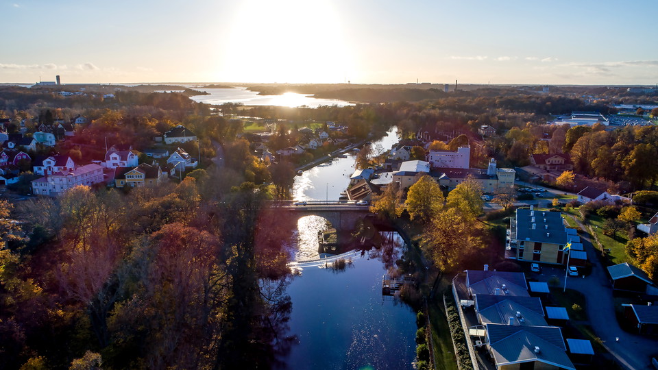
    Lyckebyån
    Foto: Visit Karlskrona
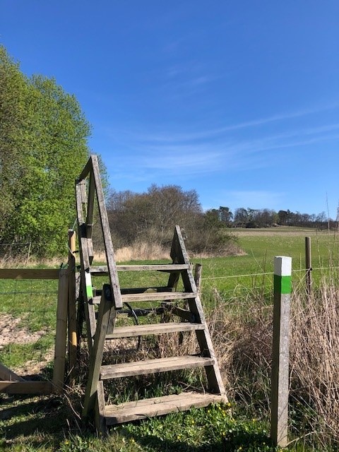
  • Ledmarkering Lyckåleden
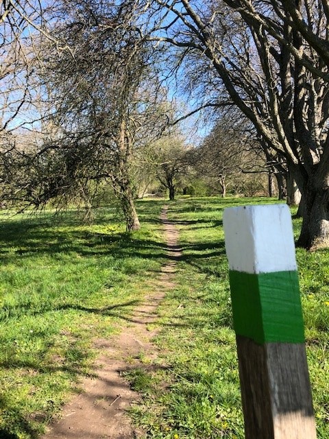
    Ledmarkering Lyckåleden
    Foto: Visit Karlskrona
  • Vitsippebacke, Lyckåleden
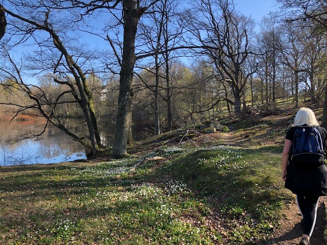
    Vitsippebacke, Lyckåleden
    Foto: Visit Karlskrona
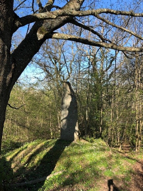
  • Kulturminne, Lyckåleden
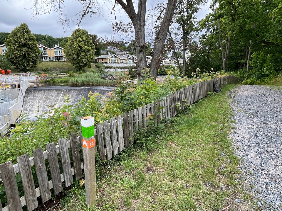
    Kulturminne, Lyckåleden
    Foto: Visit Karlskrona
  • Lyckåleden
    Lyckåleden
    Foto: Visit Karlskrona
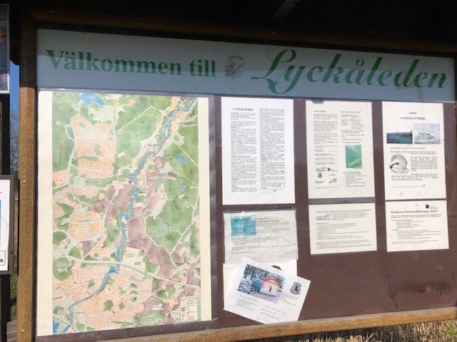
  • Informationstavla vid Lyckåleden
    Informationstavla vid Lyckåleden
    Foto: Visit Karlskrona

Lyckåleden

  • Fotturer
  • Kultursti
av 5 stjerner

Detaljer om stien

  • Lengde 5.9 km
  • Vanskelighetsgrad Blå – medium

Handlinger

  • Veibeskrivelse

Beskrivelse

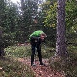
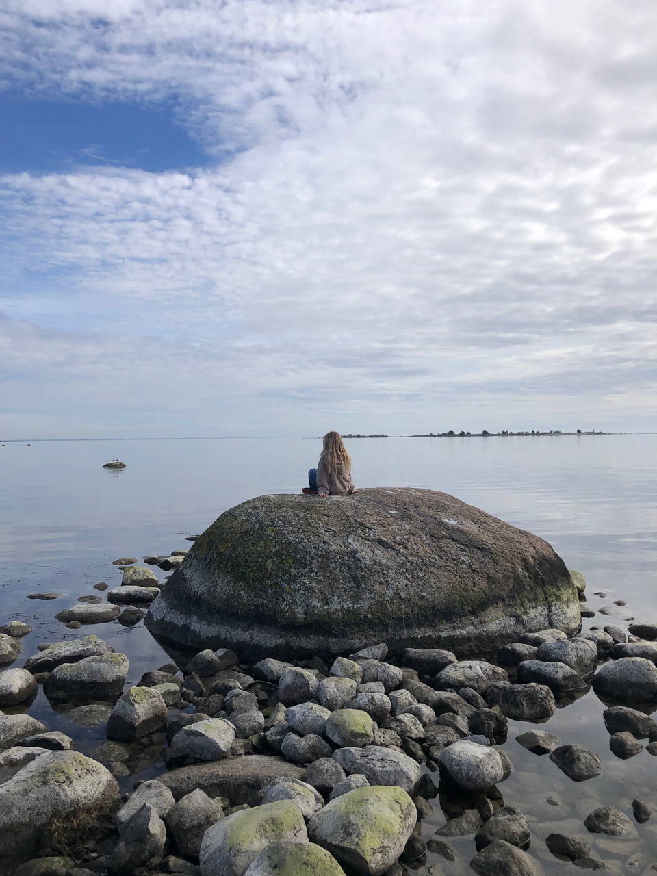
Hiking along the beautiful Lyckebyån, which meanders through lush nature. The Lyckåleden is about 6 km long and runs between Lyckåvallen, the sports ground in Lyckeby, in the south to Lyckåborg in the north. The trail goes through exciting and rich nature and passes several historical places with information signs. Take the same way back- if you don't want to go to the other side of the river, but then you have to follow normal smaller countryroad and cycle path. There is even bus stops at Augerum kyrka and Lyckeåborg at the end of the trail.

Responsible for the trail is: Lyckeby Gille, www.lyckebygille.com

Værvarsel (kl. 12.00)

Laster…

Kom hit med offentlig transport

Aktiviteter og fasiliteter

  • Fotturer
  • Kultursti

Nedlastinger

Kontakt

Adresse

Blekinge Arkipelag Kurpromenaden 4 372 36 Ronneby

E-postadresse

Team ARK56

Jeg har vært her 16

Jeg ønsker å dra hit 24
Omtaler

—

1 anmeldelse

av 5 stjerner

5 :
0.0%
4 :
0.0%
3 :
0.0%
2 :
0.0%
1 :
0.0%

Jättefin och mysig runda

Spørsmål og svar

Still et spørsmål til andre brukere av Naturkartan.

Brukernes bilder

Del bildene dine fra stedet!

Naturkartan

Åpne dette i appen