
-
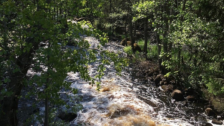
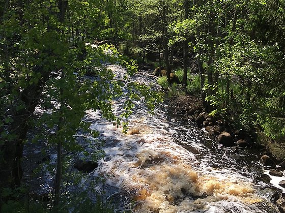
Fors i Bräkneån. Foto Ulrika Widgren /Länsstyrelsen -
-
-
-
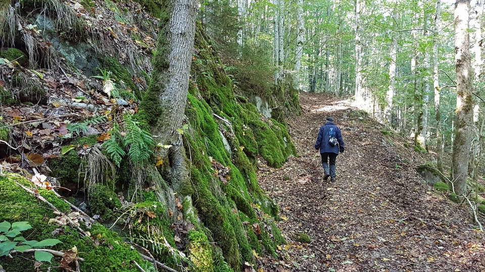
-
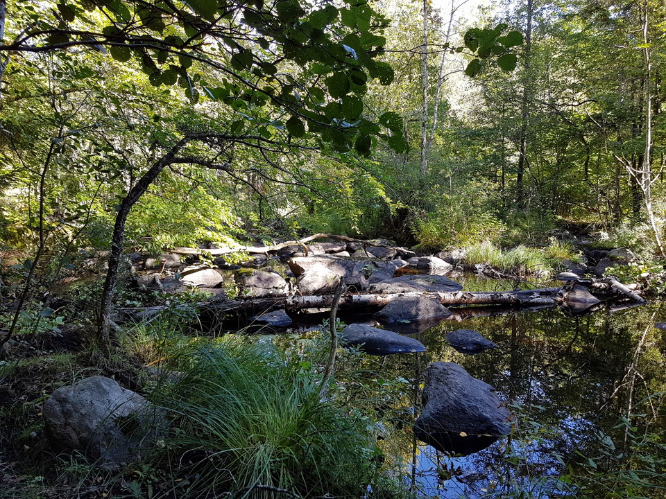
-
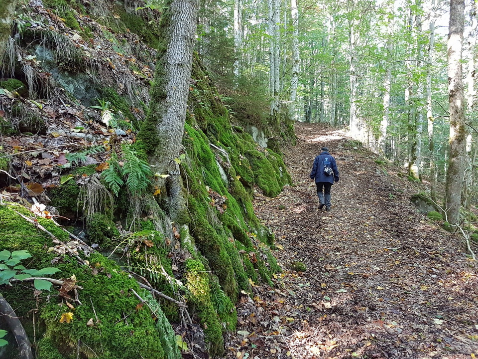
-
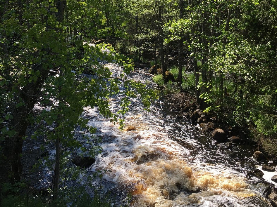
-
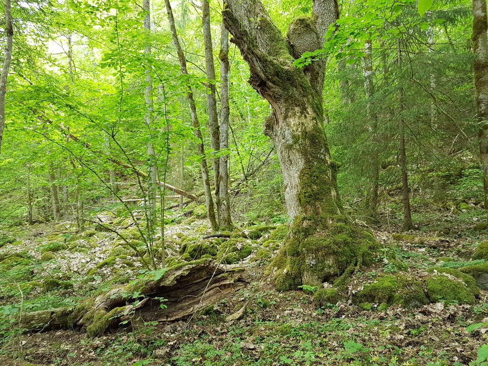
-
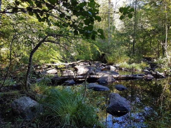
-
-
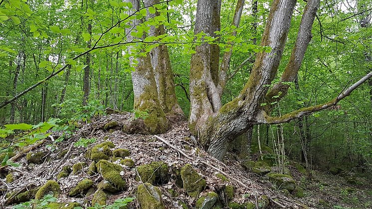
-
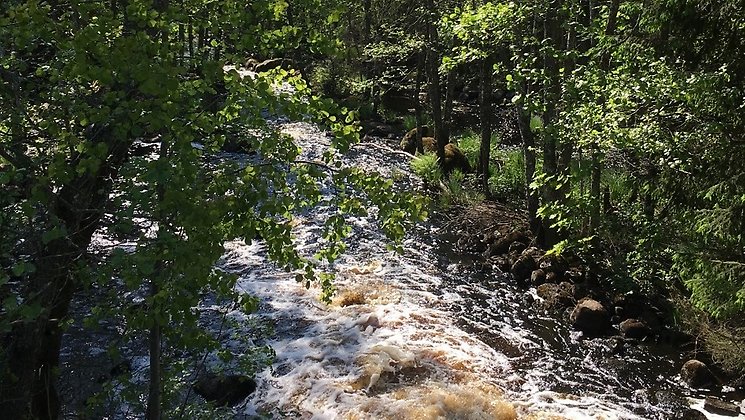
Foto: Ulrika Widgren/Länsstyrelsen -
-
-
-
-
-
Gummagölsmåla, Naturreservat
- Naturreservat
- Fylke: Blekinge län
Handlinger
Beskrivelse
Aktiviteter og fasiliteter
- Naturreservat
Fakta
Year of protection: 2000, extension 2018
Municipality: Ronneby
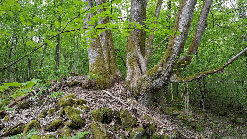
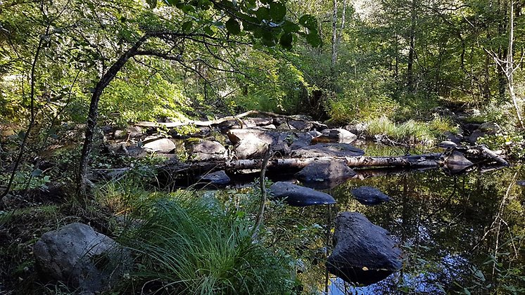
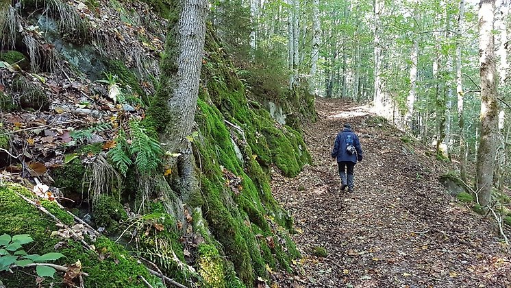
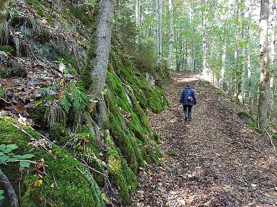
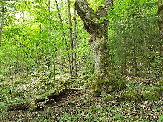
Characteristics: Crevice valley, deciduous forest, grove flora, spruce forest, river, cultural history
Area: 34.4 hectares, of which 32.5 hectares are land and 1.9 hectares water
Landowners: State and private
Manager: Blekinge County Administrative Board
Type of protection: Nature reserve and Natura 2000
Veibeskrivelse
Take road 27 between Ronneby and Tingsryd. Turn west 4 km north of Hallabro, at the signs Öljehult and Kyrka. Pass the church and after 500 meters turn right at a yellow sign towards Gummagölsmåla. After 2 km the road crosses the Bräkneån river. Follow the hill up 300 m and you have the reserve on the left side of the road.
Forskrifter
You are welcome to visit Gummagölsmåla, but please note that it is not allowed to
- damage the ground, destroy or damage solid natural objects or surface formations
- wash or in any other way carry out mineral extraction
- damage stone walls, cairns or other cultural-historical remains
- unreasonably disturb wildlife
- damage living or dead trees and shrubs, or vegetation in general, remove or destroy dead wood
- pick mosses, lichens or wood-living fungi, other than what is reasonably necessary for species identification
- capture and collect invertebrates in such a way as to damage or destroy their biotopes or reproductive habitats
- planting, sowing or spreading plants, animals, fungi or other organisms, bringing an unleashed dog into the pasture, during the grazing season other than when herding livestock or hunting
- drive motor vehicles, ride horses or bicycles
- camping or otherwise encamping for more than two days
- set up a caravan/mobile home or similar for overnight stays
- making a fire.
Without permission from the county administrative board, you may not
- conduct scientific research involving sampling, marking, trapping, installation of equipment or any form of impact on plant or animal life
- use the area for competitions, exercises or other organized activities that may disturb nature or the public's outdoor life
- put up a board, poster, sign, signpost, inscription or similar device, other than temporarily (for a maximum of one week) in connection with hunting or in connection with organized outdoor activities.
Kontakt
E-postadresse
Länsstyrelsen Blekinge
Organisasjonens logotype
Jeg har vært her 1

Jeg ønsker å dra hit
Spørsmål og svar
Still et spørsmål til andre brukere av Naturkartan.
Omtaler
0 anmeldelser
- 5 :
- 4 :
- 3 :
- 2 :
- 1 :
Brukernes bilder
Ingen brukerbilder ennå. Bli den første til å dele!
