
-
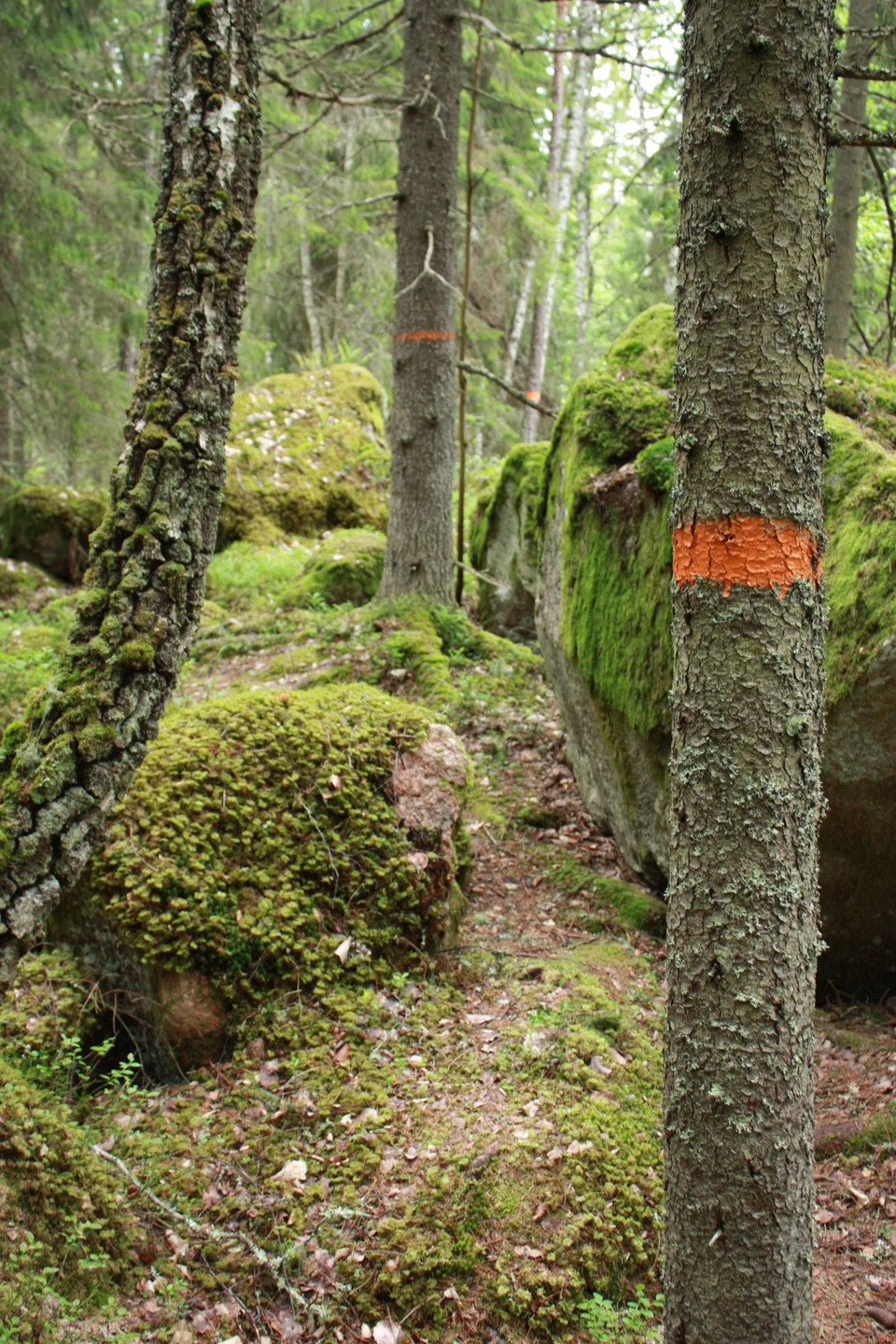
Upplandsleden
Foto: Upplandsstiftelsen -
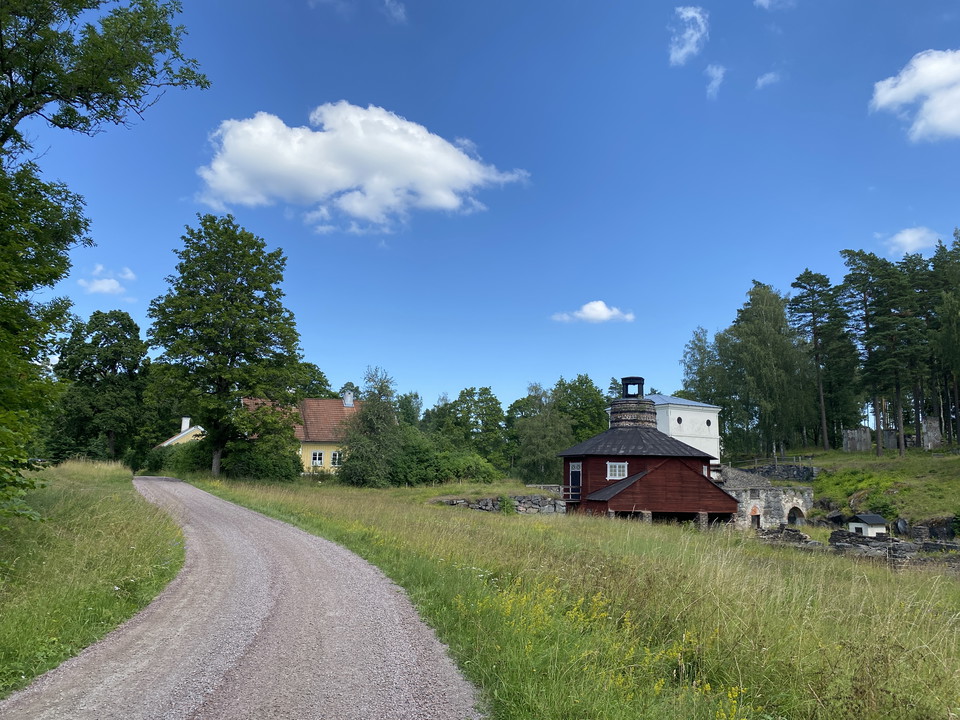
Bennebols bruk
Foto: Upplandsstiftelsen -
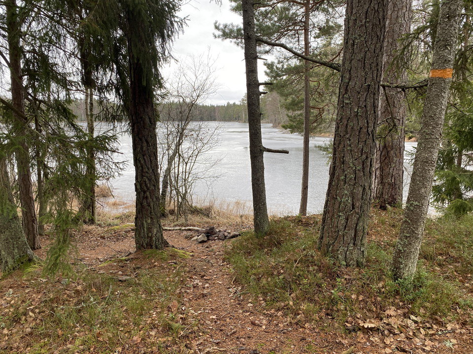
Skysjön
Foto: Upplandsstiftelsen -
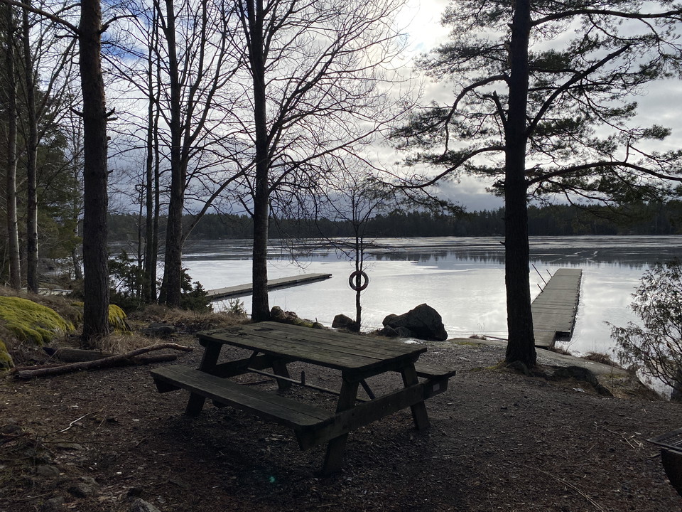
Skysjön
Foto: Upplandsstiftelsen -
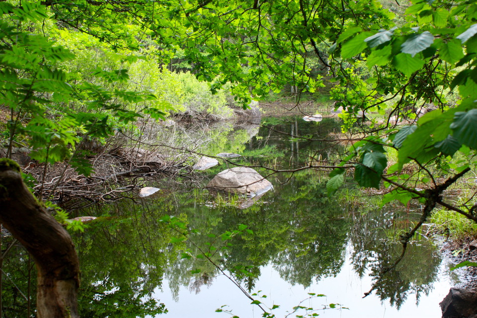
Glupen Rudbäcken
Foto: Upplandsstiftelsen -
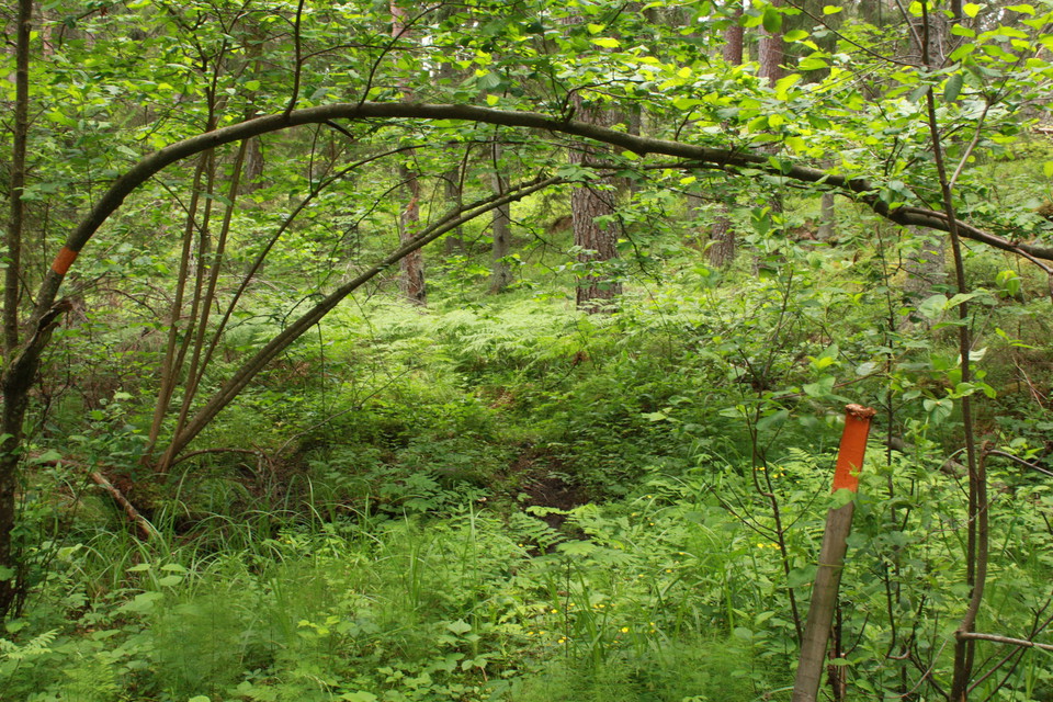
Upplandsleden
Foto: Upplandsstiftelsen -
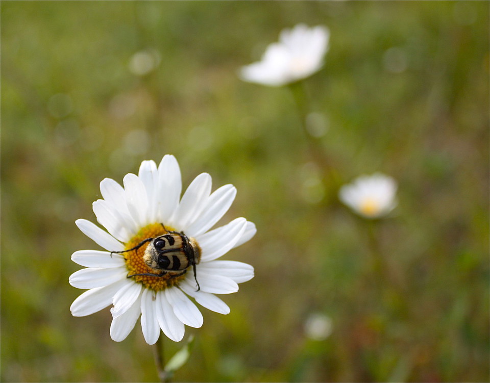
Humlebagge
Foto: Upplandsstiftelsen
Upplandsleden, etapp 8, Bennebol–Pansarudden
- Fotturer
- Fylke: Uppsala län
- 6813.24 km fra deg
Detaljer om stien
- Lengde 9.0 km
Handlinger
Beskrivelse
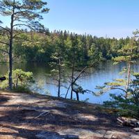
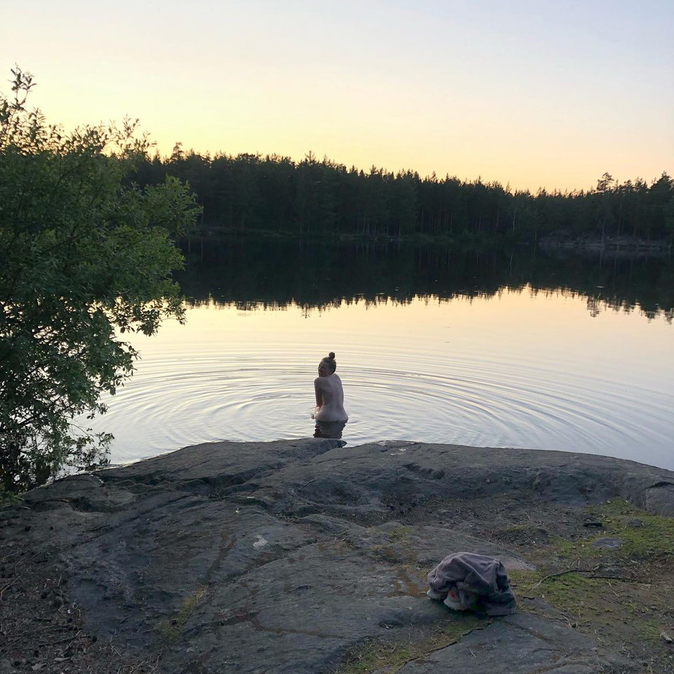
The section starts at Bennebol’s mill, and ends at the northern parking area of Pansarudden. Towards the end of the section, you can take a detour and do the Pansarudden Walk (see 8:1) too. 1.5 kilometres of gravel roads take you through the forest, and past nature reserve Dammen, before the trail turns onto a path across some clear-cut areas, and up to Lake Skysjön. After the village of Kobol, the path is narrow, and not well trodden. You’ll walk through slightly rugged forests with big, moss-covered boulders. Here, in nature reserve Pansarudden, parts of the forest are over a hundred years old, and animals such as the ural owl, wood grouse, black grouse and lynx live here. Just before the end of the section, you’ll pass enchanting pond Rudbäcken, where old oak trees stretch their branches out over the water.
Difficulty level: Medium, mostly small forest paths, large boulders towards the end.
Aktiviteter og fasiliteter
- Fotturer
Underlag
Mostly nice forest trail, but not so well trampled. Towards the end large boulders and some more difficult parts.
Parkering
Parking is available at the start of the stage, at Hästhagen-Kilholmens nature reserve. There is also parking at the end, in the northern part of Pansarudden Nature Reserve.
Kommunikasjon
It is not possible to get to this stage by bus.
Veibeskrivelse
Bennebols mill is located northeast of Knutby. Take road 282 to Knutby. In the village turn off towards Gimo. After 4 km turn right towards Vällnora. Bennebol is located a few kilometers east of Vällnora mill.
You can also get here from Hallstaviksvägen. Turn off where there are signs for Bennebol and Vällnora, about 3 km east of Lake Vällen.
Kontakt
E-postadresse
Upplandsstiftelsen
Organisasjonens logotype

Jeg har vært her 34




Jeg ønsker å dra hit 40






Spørsmål og svar
Still et spørsmål til andre brukere av Naturkartan.
Omtaler
4 anmeldelser
- 5 :
- 4 :
- 3 :
- 2 :
- 1 :
Vackert. Finns en större glänsa efter Kobol precis innan ingången till Pansaruddens naturreservat som passar perfekt för tältning.
Brukernes bilder
Ingen brukerbilder ennå. Bli den første til å dele!

Beware at (59.9655470, 18.3922717) just after the first forrest path after Bennebol, the path is very overgrown and blocked with fallen tree. lost the trail and we found ourselves in the dense bush to retrieve it!
Thank you for letting us know about the fallen trees along this section! We will look into this as soon as possible. /Upplandsstiftelsen