
-
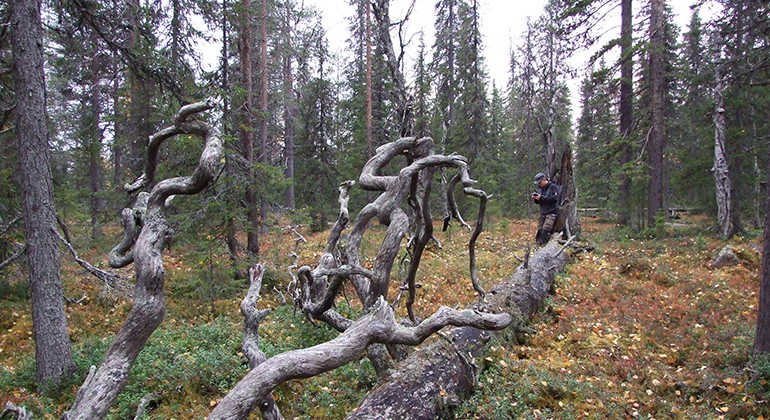
Kolkonliika.
Foto: Länsstyrelsen Norrbotten -
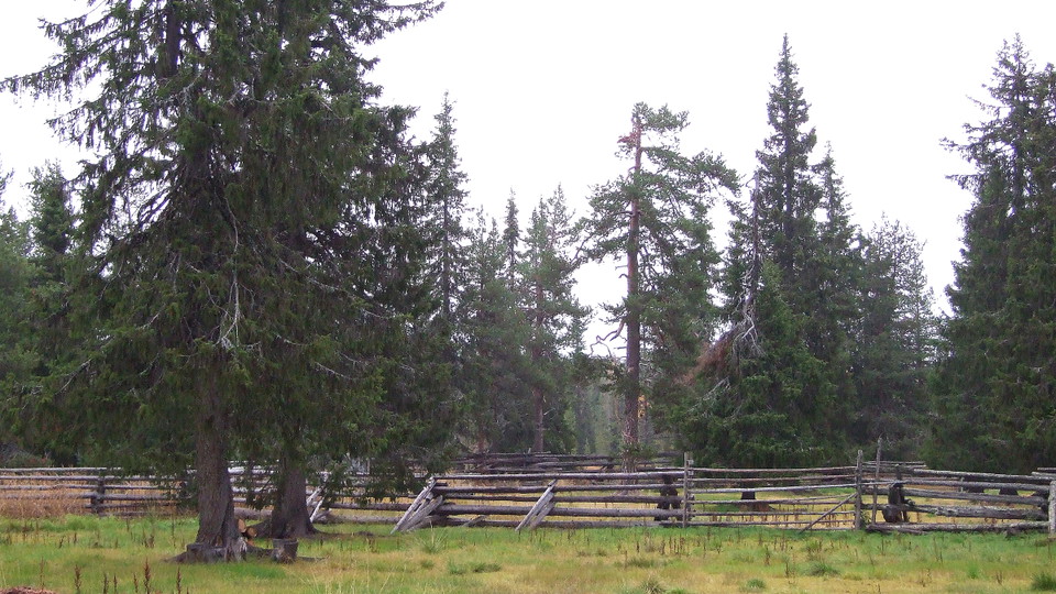
Kolkonliika
- Naturreservat
- Fylke: Norrbottens län
Handlinger
Beskrivelse
The nature reserve Kolkonliika is a flat area of forest and my heart which slopes gently down towards the southeast from Pikku Kolkonlaki mountain in the west, down to the Lumivuoma mire, where several streams flow into each other then empty into Kolkonjoki stream south of the reserve. The forests turned from sparse pine forest on sandy ground in the upper parts to fresh spruce and other coniferous forests interspersed by damp waterlogged spruce forests in the lower areas. The area is 4 square kilometres in size and is a summer settlement of Muonio Sámi community.
Aktiviteter og fasiliteter
- Naturreservat
Fakta
Municipality: Pajala
Year of formation: 2013
Size: 4.1 square kilometers
Administrator: County Administrative Board
Form of protection: Nature reserve
Kommunikasjon
Kolkonliika lies about 14 kilometres northwest of Kangos. The reserve is best reached by turning west in Kaunisvaara and driving about 27 km. The road is in relatively good condition for most of the stretch but becomes bumpy and more difficult over the last 3 km, from roughly where the road crosses Kolkonjoki stream. The road from the west via Kangos and Hukanmaa is partly in very poor condition and is hardly driveable in an ordinary.
Veibeskrivelse
Kolkonliika is located about 14 kilometers northeast of Kangos. The reserve is best reached by turning west in Kaunisvaara and driving about 2.7 miles. The road is in relatively good condition most of the way but becomes bumpy and more difficult in the last 3 kilometers, approximately where the road crosses the Kolkonjoki stream. The road from the west via Kangos and Hukanmaa is partly in very poor condition and can hardly be driven by car.
Forskrifter
All regulations can be found in the reserve decision. It is permitted to: - hike - camp - pick berries and edible mushrooms - drive snowmobiles on snow-covered ground - fish and hunt in accordance with applicable laws - make a small fire with loose twigs and branches
It is not permitted to: - damage land or vegetation - harm or disturb wildlife - litter
Kontakt
E-postadresse
Länsstyrelsen Norrbotten
Organisasjonens logotype

Jeg har vært her
Jeg ønsker å dra hit 1

Spørsmål og svar
Still et spørsmål til andre brukere av Naturkartan.
Omtaler
0 anmeldelser
- 5 :
- 4 :
- 3 :
- 2 :
- 1 :
Brukernes bilder
Ingen brukerbilder ennå. Bli den første til å dele!
