Katrinelundsleden
- Kommune: Örebro
- 6700.33 km fra deg
- 30.9 km
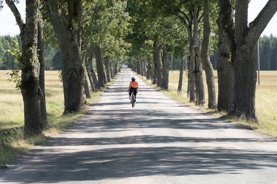
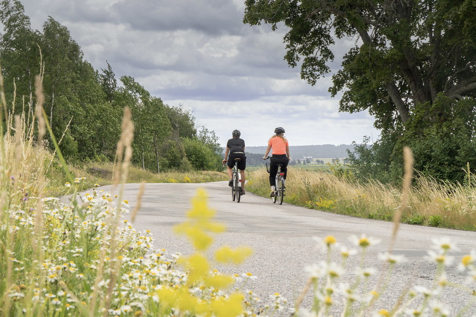
This tour is suitable for those who like to cycle on gravel roads. Difficulty: Blue Start: Örebro Castle Length: 28 km Altitude meters: 170 m

Örebro
Naturkarten samler sykkelrutene i Örebro som er mest populære blant brukerne våre.
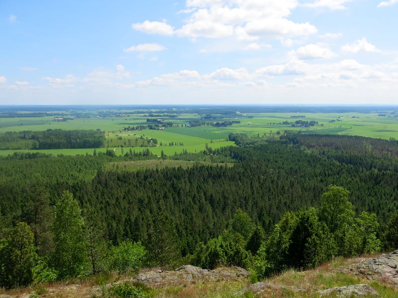
This tour is suitable for those who like to cycle on gravel roads. Difficulty: Blue Start: Örebro Castle Length: 28 km Altitude meters: 170 m
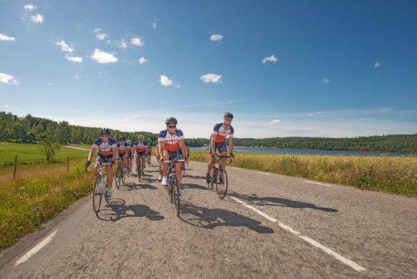
Difficulty: Red Start and finish: Örebro Length: 150 km Altitude: 520 m Along the trail, a fun run is organized every year and the trail description follows the course of the race.
The trail is more physically demanding than technically difficult. It is guaranteed to give you tired legs but as a reward awaits the nice lookout at Kilsbergsstugan and varied, beautiful nature with clear traces of the inland ice. Difficulty level: Black L…
This trail connects to the transportation trail towards Lekeberg. The trail starts together with several other trails and turns directly left from the start and runs parallel to the campsite. Easy path at the beginning and later forest road and more lovely…
Black 3 may be a short line, but it tests your technique and stamina. Difficulty level: Black Length: 8 km Vertical meters: 183 m Signage: Black, MTB 3
A technically light trail that consists of 95% gravel. Perfect for those who want to train fitness more than technique. It offers many altitude meters in a short distance. Difficulty level: Blue Length: 17 km Vertical meters: 258 m Signposted: Blue, MTB 8
Wonderfully entertaining trail that takes you down Kilsbergen and along its slopes. The nature is varied and sometimes dramatic and changes between dark spruce forest to light green hazel groves. Difficulty level: Red Length: 31 km Vertical meters: 540 m Si…
Black 4 offers a challenge both technically and physically. Study the map carefully before setting off. The trail turns off a gravel road that leads downhill. Here it is easy to miss the sign pointing left. A tough and technical downhill awaits in the fores…
Ruskiga Rusan, is just as the name says, a tough one. It includes the infamous Monsterbacken 1, which is a long and steep climb up to Rusakulan. It's named after local cyclists who have struggled up the hill. But the struggle is worth it, because once at th…
This trail is technically easy but has a slightly heavier finish than Utkiken. Difficulty level: Green Length: 9 km Vertical meters: 135 m Signposted: Green, MTB 7
This is a trail for the new and the youngest. You are rewarded with an expansive view of Närkeslätten. Difficulty level: Green Length: 3 km Vertical meters: 68 m Signposted: Green, MTB 6
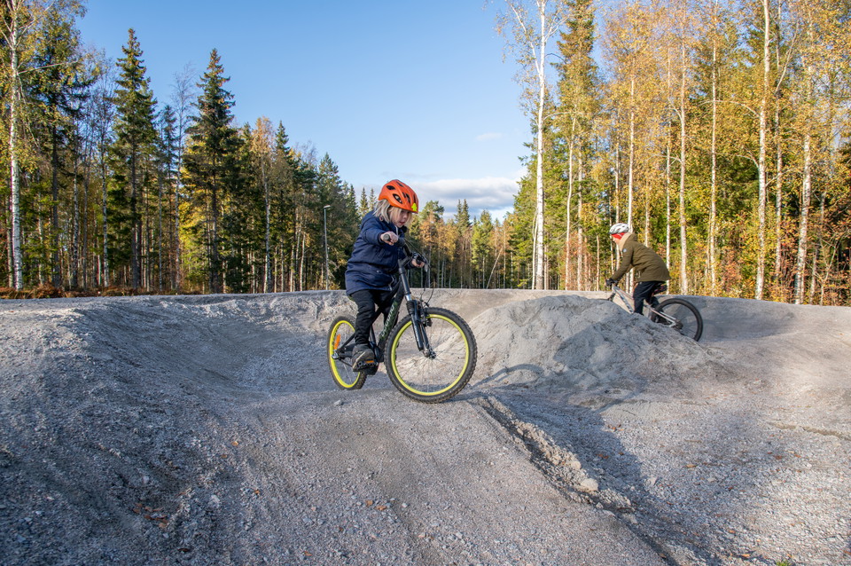
Ånnaboda pumptrack is made up of packed masses that are shaped into hills, curves and jumps. In a pumptrack, the idea is that with a few pedal strokes on the bike, you will be able to use your body weight and your technique to gather speed and power to ride…
En 18 kilometer lång cykelled från Katrinelund till Hampetorp, som sedan skyltas vidare på bygatan på Vinön till den norra badplatsen. Leden är skyltad utifrån Örebro stad.
Cycle path that starts in Lännäs where Vinöleden goes east and Brevensleden continues south to Brevens bruk. The trail connects Örebro via Katrinelunds- and Vinölederna with the southernmost part of the municipality and also to the Breven-Kilsmo MTB area.
Signposted from the harbor area and follows Katrinelundsleden at the beginning and then splits at road 207.
Naturkarten samler sykkelrutene i Örebro som er mest populære blant brukerne våre.