
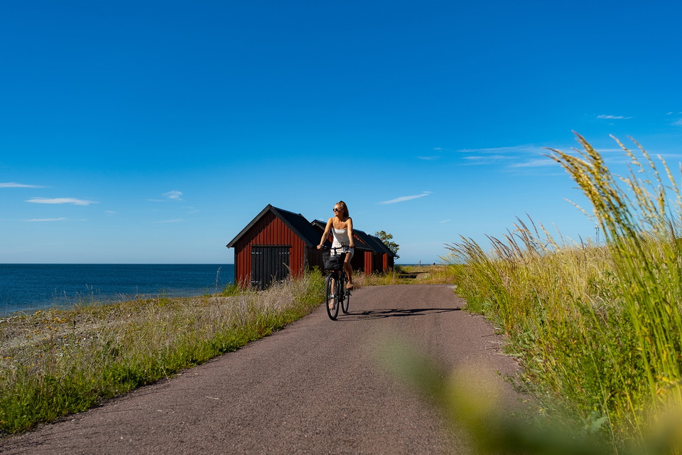
Neptunileden - slående vacker kustled löper genom hjärtat av den förföriska hamnorten Byxelkrok
- Sykling
- Gå
- Løping
- Fotturer
- Fylke: Kalmar län och Öland
- 6899.21 km fra deg
Detaljer om stien
- Lengde 14.8 km
Handlinger
Beskrivelse
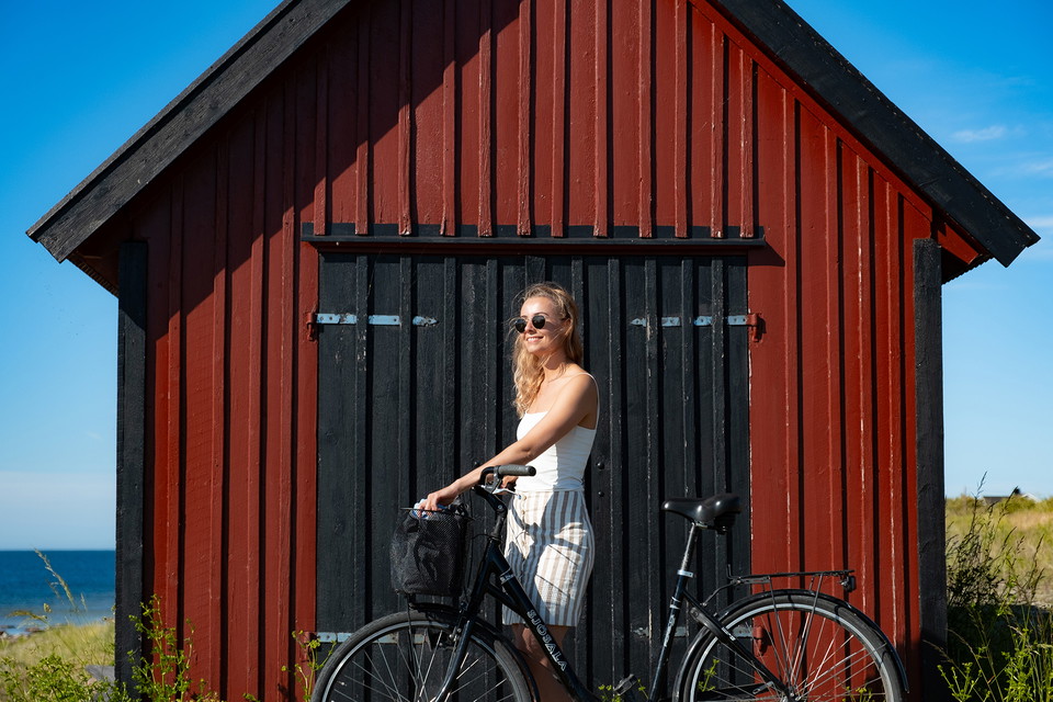
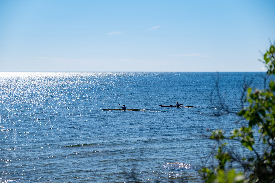
Strikingly beautiful coastal route with scenic views and the seductive atmosphere of the harbour town of Byxelkrok. In the distance you can glimpse the Blå Jungfrun rising from the horizon. On a winding cycle path you follow the enchanting coastline from Hagskog in the south to Nabbelund in the north. The route passes vast pebble fields and the Neptuni Åkrar nature reserve with its rich fossil fauna and prized fields of blue fire flowers. In the southern part of the reserve you can see Öland's northernmost burial ground. The 1.7-metre-high Höga chipping stone also rises there, which according to tradition was used as a place of prayer by the Christian fisherfolk of Byxelkrok. The Neptune Trail runs through the vibrant heart of the small harbour town, which in the summertime offers plenty of opportunities for culinary experiences and pleasant shopping around the picturesque quarters of the fish stalls. In spring and autumn, the pace slows and you can quietly enjoy sunsets in fiery red-orange tones.
Tip:
Turn off from the northernmost tip of the trail and head for the northern cape of Öland and the Långe Erik lighthouse. The cape and the lighthouse are also unparalleled picturesque subjects, well worth the 5 km round trip detour. In summer and during the spring and autumn holidays there are many different accommodations to choose from both in the centre of Byxelkrok and in the surrounding area. The ICA shop is open all year round and is surrounded by a plethora of restaurants and cafés during the summer. Treat yourself to a nice swim at one of Byxelkrok's pebble beaches where the limestone has been ground soft by the sea.
Aktiviteter og fasiliteter
- Gå
- Sykling
- Løping
- Fotturer
Fakta
Support: Gravel road south of Byxelkrok. Paved cycle path north of Byxelkrok.
Signage: Follow the Öland trail signs.
Season: The tour can be experienced during all seasons of the year. Enjoy the beautiful spring sunshine, cool breezes and swimming on the hot days of summer, the golden colours of autumn or the calm of winter.
Underlag
Gravel road south of Byxelkrok. Paved cycle path north of Byxelkrok.
Parkering
Large parking down in Byxelkrok harbour, and smaller car parks at Neptuni Åkrar.
Nedlastinger
Kontakt
E-postadresse
Borgholms kommun
Jeg har vært her 3

Jeg ønsker å dra hit 14


Spørsmål og svar
Still et spørsmål til andre brukere av Naturkartan.
Omtaler
0 anmeldelser
- 5 :
- 4 :
- 3 :
- 2 :
- 1 :
Brukernes bilder
Ingen brukerbilder ennå. Bli den første til å dele!
