
Vattnets väg: Puttbo-Kråkmyran-Källslätten
- Sirkulær slynge
- Fotturer
- Terrengløping
- Fylke: Dalarnas län
- 6639.88 km fra deg
Detaljer om stien
- Lengde 12.1 km
Handlinger
Nåværende
Due to the storm Johannes, there are many trees lying over the trails and it is difficult to get around in parts of the area. We are working to fix this, but it may take some time until all trails are fixed. Watch out for fallen trees, leaning trunks, hanging branches and other signs of instability in the forest.
Beskrivelse

Aktiviteter og fasiliteter
- Fotturer
- Terrengløping
- Sirkulær slynge
Fakta
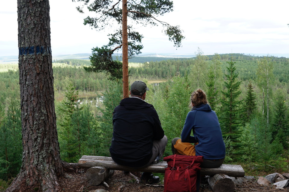
The markings consist of wooden sticks with blue paint at the top and the symbol of the Water Trail to the mine, which consists of a water wheel. Be careful at junctions as the Water Trail is large and has several different loops.
Falu municipality is responsible for the trail.
A simple map of the Vattnets väg trail system is available to download and is good to have with you.
Parkering
At Puttbo Bergsmansgård there is a parking lot on gravel.
Veibeskrivelse
To start at Puttbo, take road 293 from Falun towards Leksand/Borlänge. Turn right towards Nybo. After the village of Puttbo, Puttbo bergsmansgård is on the right, just before the gravel road makes a sharp left turn.
Nedlastinger
Kontakt
E-postadresse
Kontaktcenter Falu kommun
Organisasjonens logotype

Jeg har vært her 13




Jeg ønsker å dra hit 34






Omtaler
—
0 anmeldelser
- 5 :
- 4 :
- 3 :
- 2 :
- 1 :
Spørsmål og svar
Still et spørsmål til andre brukere av Naturkartan.
Brukernes bilder
Del bildene dine fra stedet!
