
09 Järnavik - Ronneby Brunn | Blekingeleden
- Fotturer
- Fylke: Blekinge län
- 6864.46 km fra deg
Detaljer om stien
- Lengde 21.1 km
- Vanskelighetsgrad Blå - medium
Handlinger
Beskrivelse
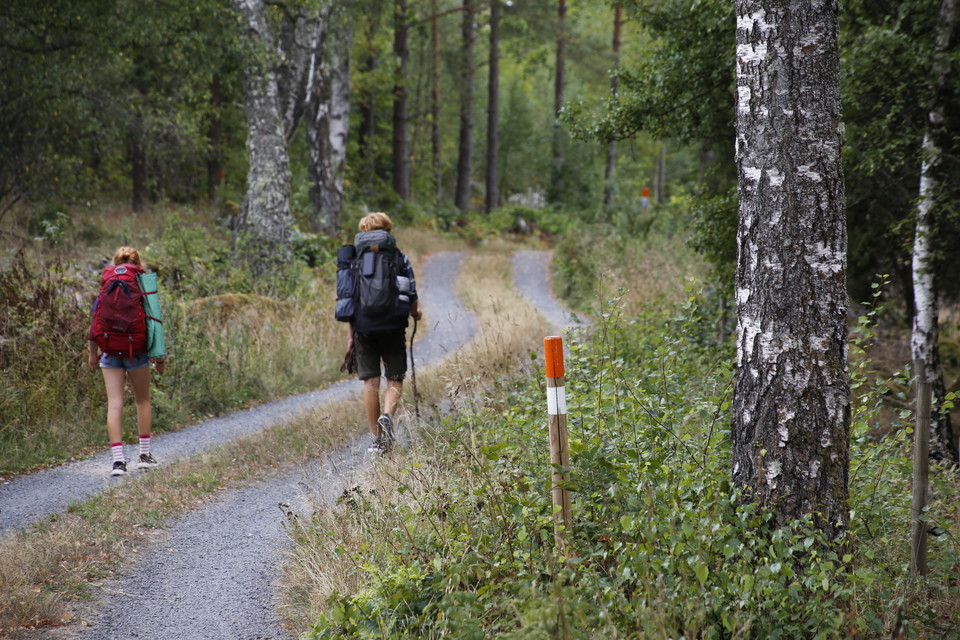
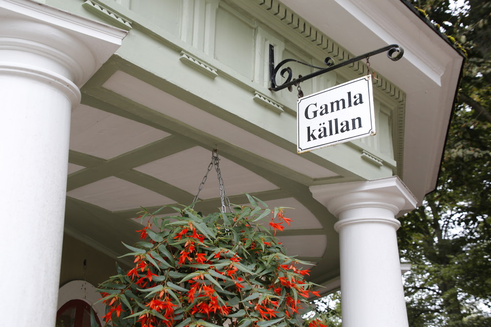
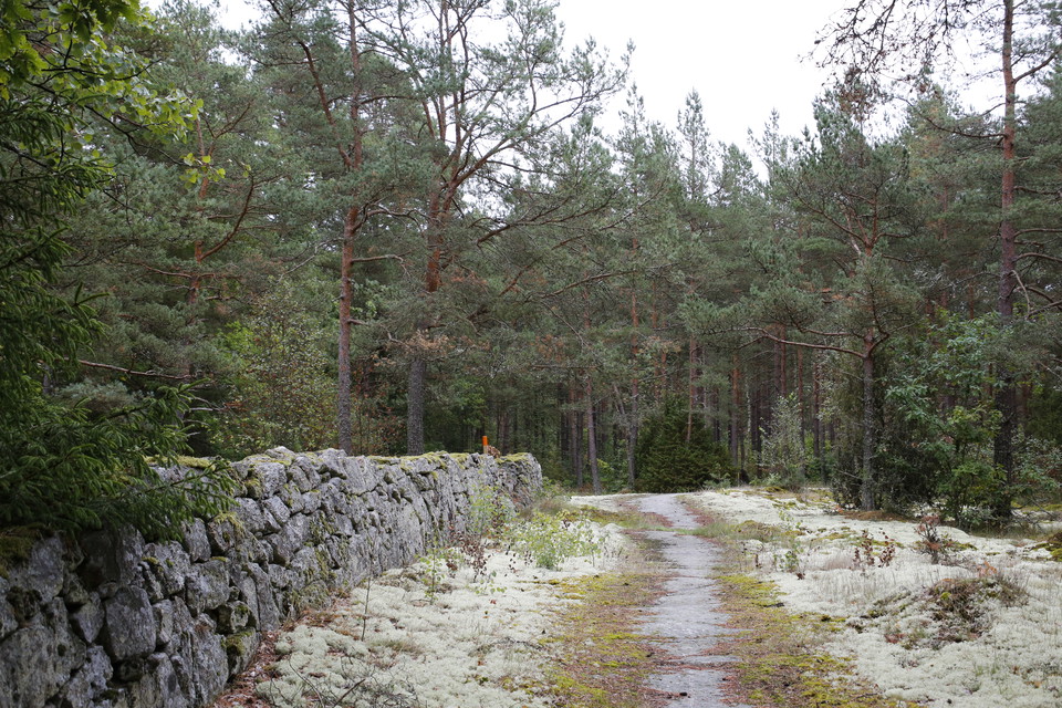
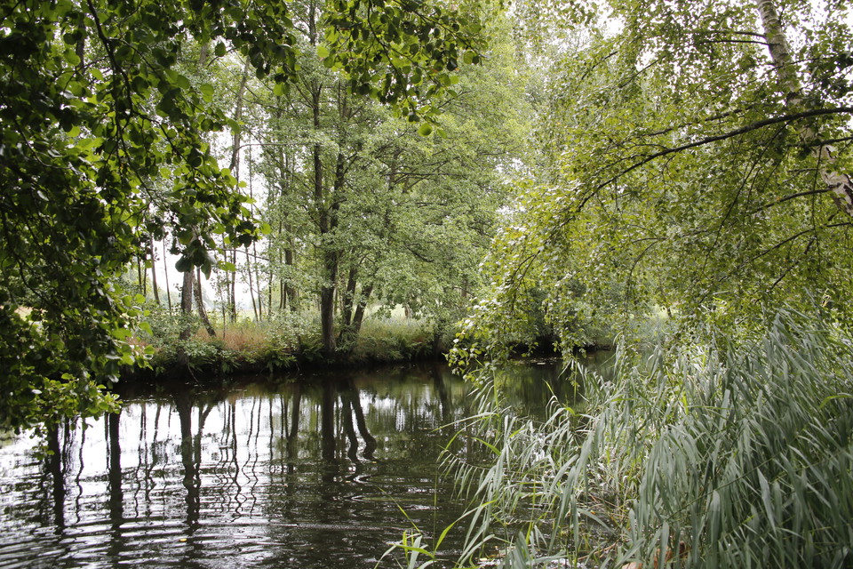
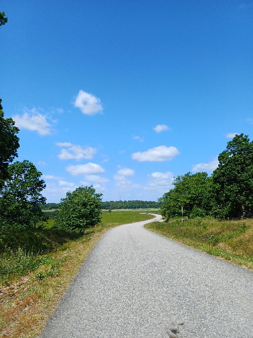
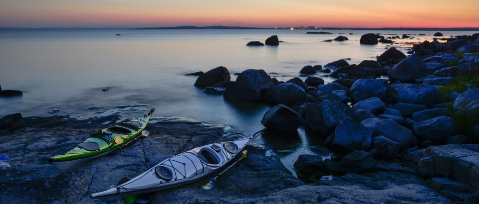
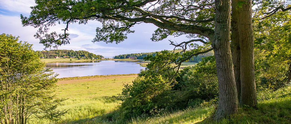
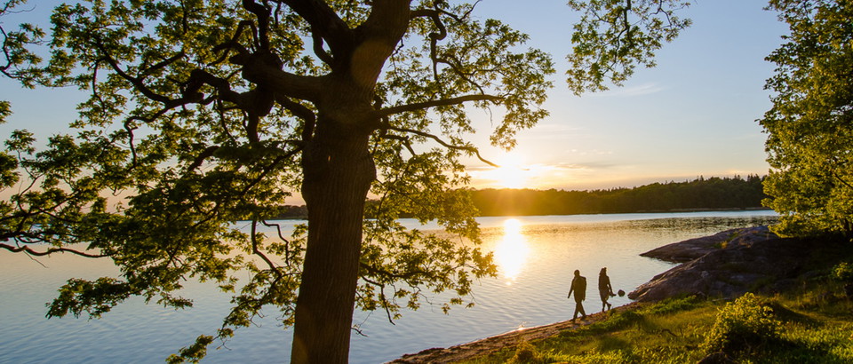
From Järnavik Blekingeleden meanders down the coast back towards the forested landscape via open farmland around Väby, to the Vierydsån river, Torneryd and straight into Ronneby Brunnspark. A historic walk through a coastal landscape between the sea, the forest and the spa town. Don’t miss a guided tour of the beautiful Ronneby Brunnspark laid out in the late nineteenth century.
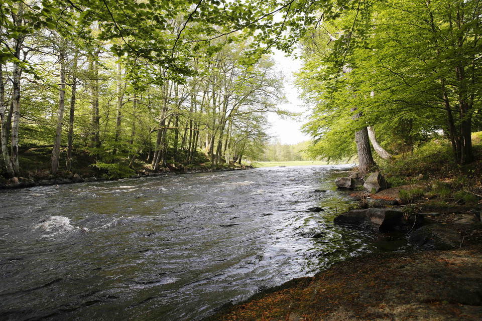
Bräkneån is a river known for its pure water and rich fauna. Right up to the mid-twentieth century fishing for roach was a popular pastime in the spring. The plentiful catch – people were catching up to half a basket of roach every time – was dried on the rocks or threaded on steel wires and hung up to dry.
Runamo. Back when Blekinge was Danish in the mid twelfth century, the Danish king sent his best runologists to Kongslijden to interpret the symbols that someone had carved in the basement rock. Many years later, archaeologists were able to prove that the runic inscriptions were natural cracks in the rockface.
The Wallanders Åbacka nature reserve is just to the east of the Vierydsån river. In the far west of the reserve the vegetation on the slopes is grove-like, with species including wood melick, sweet-scented bedstraw, coralroot and vast swathes of hepatica.
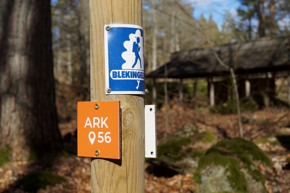
Blekingeleden is a 26-mile long walking trail running from Sölvesborg in the west to Bröms in the north-east. The terrain varies, with paths and gravel roads running through a mosaic landscape of forest, grazing, lakes and little fields. There is access to water and toilets on most of the sections of the trail. Blekingeleden is marked in orange on posts and signs. The trail is described from west to east but naturally it is up to you which direction you walk it in.
Sweden’s right of public access means visitors are free to explore the countryside. www.swedishepa.se
Aktiviteter og fasiliteter
- Fotturer
Nedlastinger
Kontakt
Adresse
Blekinge Arkipelag Kurpromenaden 4 372 36 Ronneby
E-postadresse
Team ARK56
Organisasjonens logotype

Jeg har vært her 24



Jeg ønsker å dra hit 37



Spørsmål og svar
Still et spørsmål til andre brukere av Naturkartan.
Omtaler
1 anmeldelse
- 5 :
- 4 :
- 3 :
- 2 :
- 1 :
Brukernes bilder
Ingen brukerbilder ennå. Bli den første til å dele!



Fantastiskt fin led!