
-
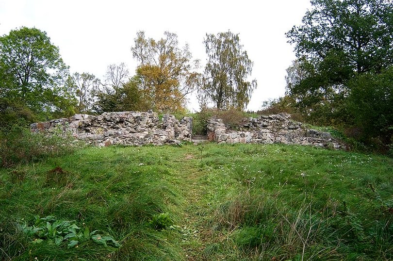
Borgruinen Täljehus -
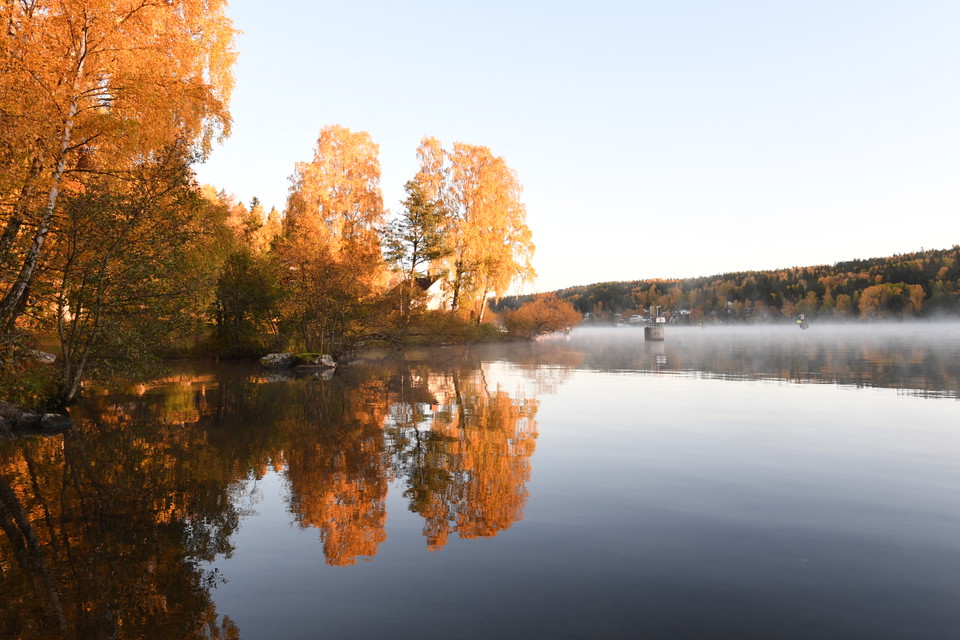
Älvorna dansar utanför Täljehus vid Mälarens inlopp till Södertälje. -
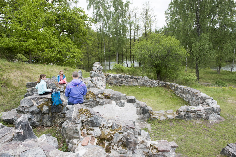
Picknick i borgruinen -
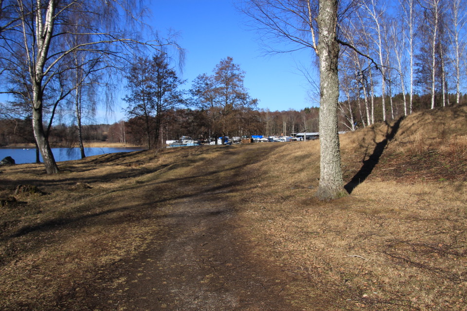
Stigen runt ön är välanvänd.
Täljehus borgruin
- Kulturelt miljø
- Barnevognstilgjengelig
- Fylke: Stockholms län
- 6821.21 km fra deg
Handlinger
Beskrivelse
On the island of Slottsholmen, Täljehus is an exciting cultural heritage site from a castle built in the 14th century. Its purpose was to control traffic between Lake Mälaren and Lake Saltsjön and was probably also used to collect customs duties.
Today, the entire area is protected as an ancient monument and archaeological excavations have found many crossbow arrowheads. In the water off Täljehus, divers have found the remains of a harbor and the wreck of a ten-meter-long boat. Traces of battles such as crossbow arrows, horseshoes, spurs and the remains of chain mail have been found during archaeological investigations. The archaeological finds are on display at the Torekällberget Museum in Södertälje.
In 2016, major masonry work was carried out to preserve the castle ruins. The ruin needs annual care to prevent trees and roots from growing into the walls and tearing stones. A group of sheep help with this and have been grazing the island since 2016 to keep the vegetation down. The grazing also helps more flowers and plants to thrive.
Around the island you can walk on an easy hilly path. On the walk you can enjoy fine views of Lake Mälaren and Ragnhildsborg. You can grill your food or warm yourself at the fireplace with a wood shed, tables and benches. In connection with the ruin, you can read more about the exciting history of the area on information signs. Near Täljehus you will also find Ragnhildsborgsbacken and Mälarbadet.
Aktiviteter og fasiliteter
- Kulturelt miljø
Tilgjengelighet
- Barnevognstilgjengelig
Veibeskrivelse
Take your bike here! From Södertälje center it is about 3.5 km along the canal. By bus you get to "Brunnsängs centrum". From there it is a walk of about 2 km. Parking is available just outside Täljehus on open gravel fields or along Ragnhildsborgsvägen. A closed barrier means that you have to walk the last 200 meters.
Kontakt
E-postadresse
Södertälje kommun
Organisasjonens logotype

Jeg har vært her 9


Jeg ønsker å dra hit 4


Spørsmål og svar
Still et spørsmål til andre brukere av Naturkartan.
Omtaler
0 anmeldelser
- 5 :
- 4 :
- 3 :
- 2 :
- 1 :
Brukernes bilder
Ingen brukerbilder ennå. Bli den første til å dele!
