• Foto: Mats Sjöberg
  • Foto: Mats Sjöberg
  • Foto: Mats Sjöberg
  • Foto: Mats Sjöberg
  • Foto: Mats Sjöberg
  • Foto: Mats Sjöberg

Blå led Västra Kullaberg

  • Fotturer
av 5 stjerner

Detaljer om stien

  • Lengde 2.9 km

Handlinger

  • Veibeskrivelse

Beskrivelse

Cliffs, caves and the wild coast of the north side - part of Kullaleden / Skåneleden SL5_

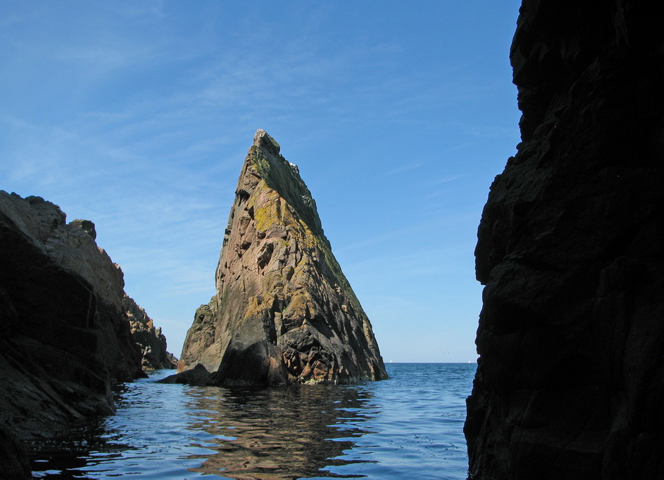
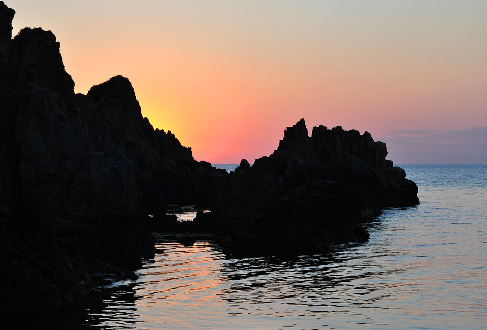
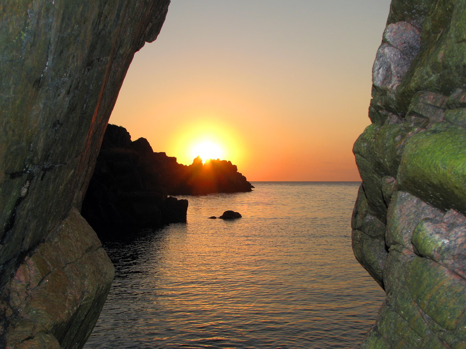
The Blue Trail is Kullaberg's wildest hike - the stretch along the northern cliff edge where rock walls plunge almost 80 meters straight down into the Kattegat. From Kullens fyr it leads through windswept oak and beech forests and past caves, ravines and hidden coves towards Himmelstorp and on to Arild. It is a challenging trail for those who want to see Kullaberg at its most dramatic - and every season has its allure: spring birdsong, summer bathing in hidden coves, fall gold in the beech forest.

Dramatic cliffs, caves and wild coastline

The Blue Trail runs from Kullen Lighthouse along the north side of the mountain eastwards towards Arild. From Kullens fyr to Arild is about 8-9 km, but many people choose to turn around at Himmelstorp or Ona mosse after 5-7 km. Expect 3-6 hours depending on how many detours you make down to Skälderviken and the so-called beach moths, and they are well worth the time. The trail is a tougher hike than the red trail on the south side, as it is narrow, hilly and rocky in places.

Just below the lighthouse is Silvergrottan, a 15 meter deep mine hole. In 1561 King Fredrik II had it dug for silver, but unfortunately there was no silver, it turned out to be muscovite, a type of mica that occurs in pegmatites and metamorphic rocks. At Ablahamn beach, the water is crystal clear - a favorite among snorkelers and divers, and one of the few places in Skåne where you sometimes have the opportunity to see porpoises. On the steep cliff walls west of Ablahamn, peregrine falcons nest, and during spring and fall, birds of prey pass the mountain in large numbers. Keep in mind that there is a trespassing ban from March 1 to July 15. You must not enter the area at this time, as you may disturb the birds' nesting

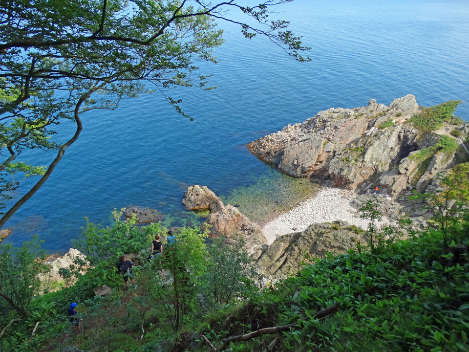
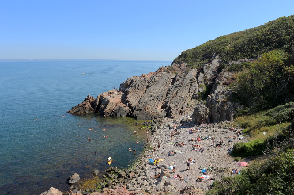
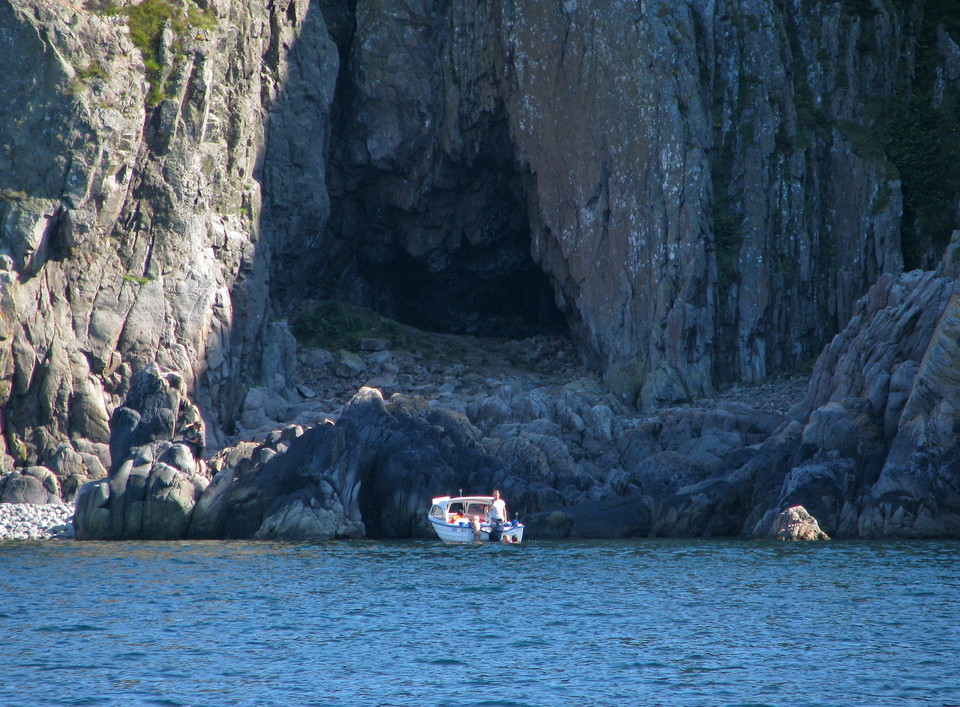
Further east, Josefinelust awaits you with its three caves and a renovated 19th-century staircase down to a pebble beach, a so-called beach mound, surrounded by huge rock formations. And Djupadal, one of Kullaberg's largest ravines, with a shingle bay and the Trollhålet cave, the deepest cave on the mountain.

Kullaberg is a nature reserve with special rules to protect nature. For example, you can only make fires in our fixed barbecue areas, and you must keep your dog on a leash all year round. Cycling and drones are not allowed in the reserve. You can find more information under regulations.

The trail is well marked but sturdy shoes are a must - many descents are steep and can be slippery in wet weather. Bring water, a packed lunch and time. Leave nature as you found it. Take your rubbish home or put it in the nearest bin.

What makes this route unique

  • The Silver Cave and the other caves along the coast
  • Josefinelust and Djupadal's dramatic ravines and rocky coves
  • Rock walls plunging almost 80 meters straight down into the Kattegat (Skälderviken)
  • Swimming, snorkeling and porpoise spotting at Ablahamn
  • Nesting peregrine falcon and rich bird life in spring and fall

Practical information

| Distance** about 5-9 km (variants, one way) | Time** approx. 3-6 hours (with stops and detours) | Terrain** | hilly forest trail with rocks, roots and steeper sections | Difficulty level** | challenging ** Wind shelter | at Josefinelust; campsite near Kullens fyr lighthouse | Accommodation tips** | Use the Nature Map to find suitable accommodation | Suitable for** | experienced hikers, rock swimmers, birdwatchers, divers

Leave nothing but footprints - Bring memories, leave no trace

Værvarsel (kl. 12.00)

Laster…

Kom hit med offentlig transport

Aktiviteter og fasiliteter

  • Fotturer

Fakta

Dramatic cliffs, caves and wild coastline

The Blue Trail runs from Kullen Lighthouse along the north side of the mountain east towards Arild. From Kullen lighthouse to Arild is about 8-9 km, but many people choose to turn around at Himmelstorp or Ona mosse after 5-7 km. Expect 3-6 hours depending on how many detours you make down to Skälderviken and the so-called beach moths, and they are well worth the time. The trail is a tougher hike than the red trail on the south side, as it is narrow, hilly and rocky in places.

Just below the lighthouse is Silvergrottan, a 15 meter deep mine hole. In 1561 King Fredrik II had it dug for silver, but unfortunately there was no silver, it turned out to be muscovite, a type of mica that occurs in pegmatites and metamorphic rocks. At Ablahamn beach, the water is crystal clear - a favorite among snorkelers and divers, and one of the few places in Skåne where you sometimes have the opportunity to see porpoises. On the steep cliff walls west of Ablahamn, peregrine falcons nest, and during spring and fall, birds of prey pass the mountain in large numbers. Keep in mind that there is a trespassing ban from March 1 to July 15. You must not enter the area during this period, as you will disturb the birds' nesting.

Further east, Josefinelust awaits you with its three caves and a renovated 19th century staircase down to a stone beach, a so-called beach moth, surrounded by huge rock formations. And Djupadal, one of Kullaberg's largest ravines, with a shingle bay and the Trollhålet cave, the deepest cave on the mountain.

Veibeskrivelse

Walk, cycle, take public transport or drive here. On the map, you can click on a parking lot or access point. For directions, click on the 'Find here' arrow (below the map).

Forskrifter

**Kullaberg consists of two nature reserves, Västra and Östra Kullaberg. Kullaberg has very high natural values that we want to protect, so special rules apply here and only parts of the right of public access apply.

Here it is forbidden, among other things, to:

  • make fires anywhere other than in our barbecue areas
  • camping anywhere other than at our campsite at the lighthouse parking lot
  • having a dog unleashed
  • disturbing wildlife
  • picking or digging up flowers
  • stay or drive a boat during the period March 1 to July 15 within the marked areas in the map appendices for Västra and Östra Kullaberg.

[All regulations (rules) can be found here (https://www.lansstyrelsen.se/skane/besoksmal/naturreservat/hoganas/kullaberg.html?sv.target=12.382c024b1800285d5863a89a&sv.12.382c024b1800285d5863a89a.route=/&searchString=&counties=&municipalities=&reserveTypes=&natureTypes=&accessibility=&facilities=&sort=none)

Kontakt

Adresse

Under LÄNKAR kommer du till aktuell reservatssida på Länsstyrelsens webbplats, med fördjupande information som kartor, broschyrer och hänvisning till relevanta aktörer. Här finns även en rapportfunktion för dig som vill lämna uppgifter om naturreservaten som vi förvaltar.

E-postadresse

Jeg har vært her 6

Jeg ønsker å dra hit 4
Omtaler

—

0 anmeldelser

av 5 stjerner

5 :
0.0%
4 :
0.0%
3 :
0.0%
2 :
0.0%
1 :
0.0%

Spørsmål og svar

Still et spørsmål til andre brukere av Naturkartan.

Brukernes bilder

Del bildene dine fra stedet!

Naturkartan

Åpne dette i appen