Varberg

De beste sykkelrutene for sykling og terrengsykling i Varberg

Naturkarten samler sykkelrutene i Varberg som er mest populære blant brukerne våre.

Kart

8 De beste sykkelrutene for sykling og terrengsykling i Varberg

Sykling

Åkullaleden

  • Kommune: Varberg
  • 6662.73 km fra deg
  • 24.0 km

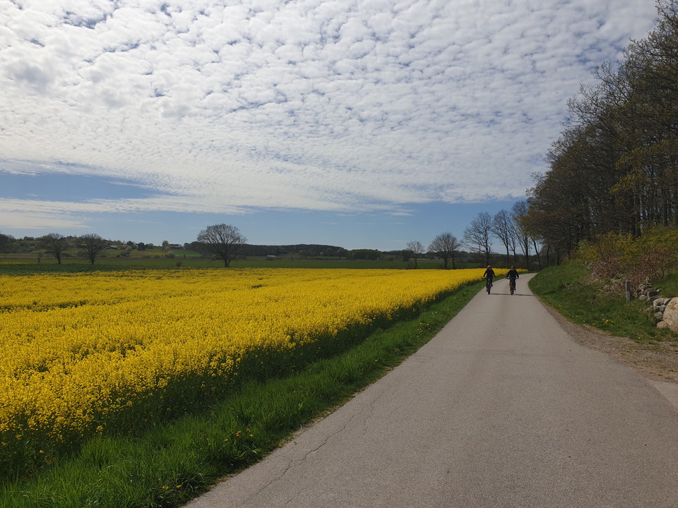
The trail is about 24 km long and starts in central Varberg. The trail goes along the old embankment to the beautiful and scenic Åkulla beech forests. The bike trail is easy to cycle, and there are several opportunities to stop and have a coffee at a café,…
Sykling

Varberg - Kungsbacka, Kattegattleden

  • Kommune: Varberg
  • 6633.87 km fra deg
  • 71.7 km

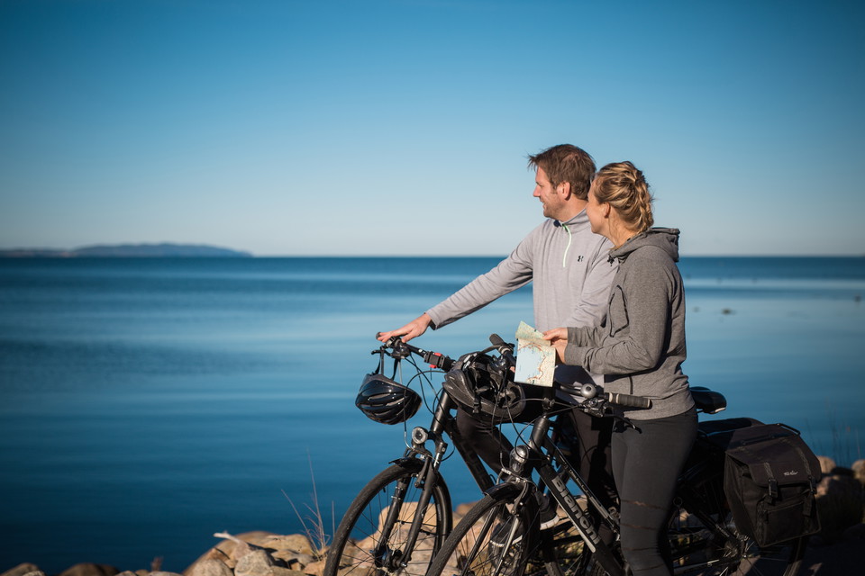
Here you cycle along the coast, through woodland and across agricultural landscapes, through small communities and in urban environments. The trail is slightly hilly where it follows small roads and cycle paths as well as busy roads. North of Varberg, the l…

Sykling

Åkulla Pumptrack

  • Kommune: Varberg
  • 6678.78 km fra deg

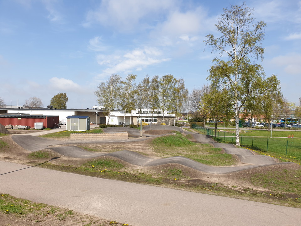
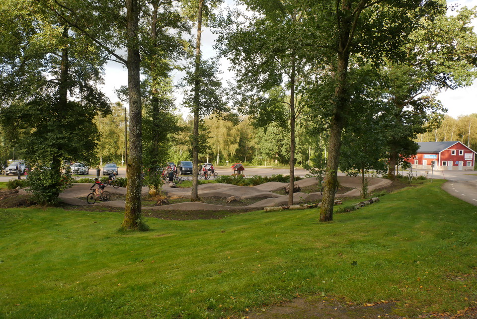
Åkulla pumptrack is an approximately 100-meter-long graveled track for cycling, made up of packed masses shaped into hills, curves and jumps. The idea of the track is that you as a cyclist should be able to pump your way through the track using your body we…

Sykling

Buas Pumptrack

  • Kommune: Varberg
  • 6649.56 km fra deg

Buas Pumptrack är en asfalterad bana som byggts och underhålls av Varbergs Kommun. Pumptracken ligger alldeles i anslutning till Buas Ungdomsgård.

Terrengsykling

Åkulla mountainbikeslinga - blå

  • Kommune: Varberg
  • 6678.78 km fra deg
  • 1.1 km
  • Vanskelighetsgrad: Blå

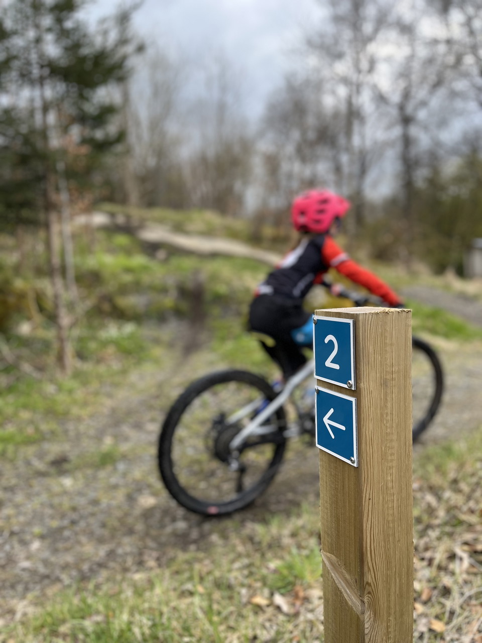
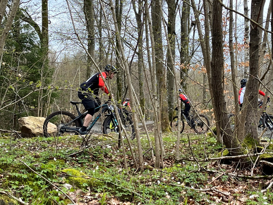
Mountain bike trails in Åkulla. The trails are color coded according to difficulty. This blue loop is marked as medium, which means path with looser surface, slopes and minor obstacles such as roots and stones.

Terrengsykling

Åkulla mountainbikeslinga - röd

  • Kommune: Varberg
  • 6678.86 km fra deg
  • 0.8 km
  • Vanskelighetsgrad: Rød

Mountain bike trails in Åkulla. The trails are color coded according to difficulty. This red loop is marked as difficult, which means a technical trail with narrower sections, steeper gradients and challenging natural obstacles.

Terrengsykling

Åkulla mountainbikeslinga - svart

  • Kommune: Varberg
  • 6678.83 km fra deg
  • 0.3 km
  • Vanskelighetsgrad: Svart

Mountain bike trails in Åkulla. The loops are color-coded according to difficulty. These two black loops are marked as expert, which means technically advanced and narrower path with sharp inclines and large obstacles that cannot be avoided.

Terrengsykling

Åkulla mountainbikeslinga - grön

  • Kommune: Varberg
  • 6678.81 km fra deg
  • 1.8 km

Mountain bike trails in Åkulla. The loops are color coded according to difficulty. This loop is marked as easy, which means wider loop with relatively smooth surface and slight slopes.

De beste sykkelrutene for sykling og terrengsykling i Varberg

Naturkarten samler sykkelrutene i Varberg som er mest populære blant brukerne våre.

Naturkartan

Åpne dette i appen