
-
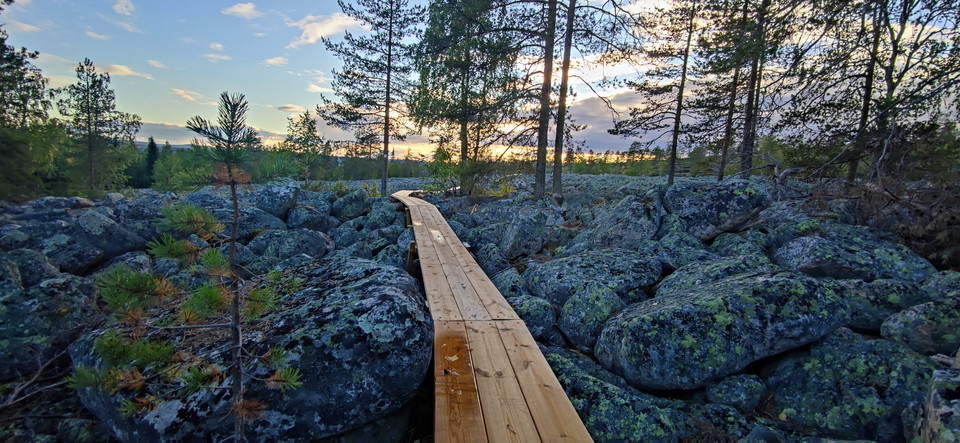
klapperstensfält kallad "pirunpelto" djävulsåker -
-
-
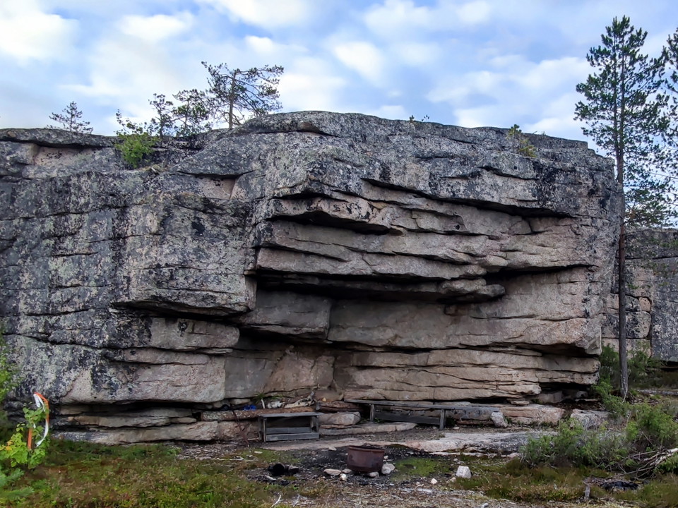
grillplats grottan -
-
-
-
-
-
-
Armasjärvi-Luppio
- Fotturer
- Terrengsykling
- Løping
- Fylke: Norrbottens län
- 6667.51 km fra deg
Detaljer om stien
- Lengde 5.6 km
- Vanskelighetsgrad Rød - krevende
Handlinger
Beskrivelse
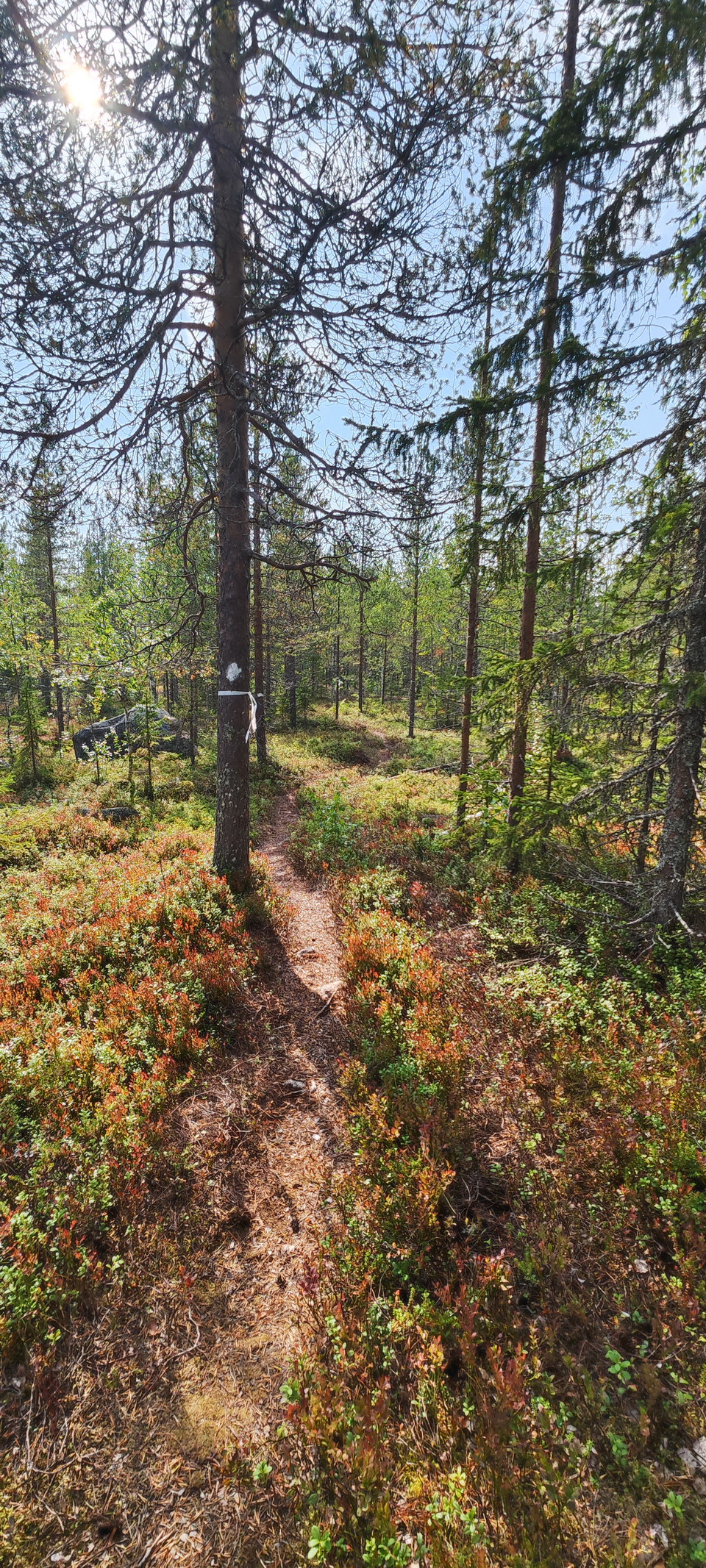
Bicycle and hiking trails built by volunteers from Armasjärvi village association. Lona has received support in the form of materials, mainly for building footbridges and bridges. Gravel and timber have been sponsored by Övertorneå Municipality.
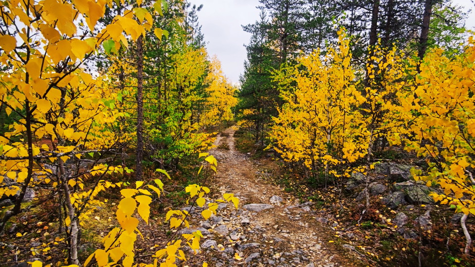
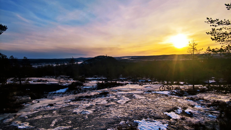
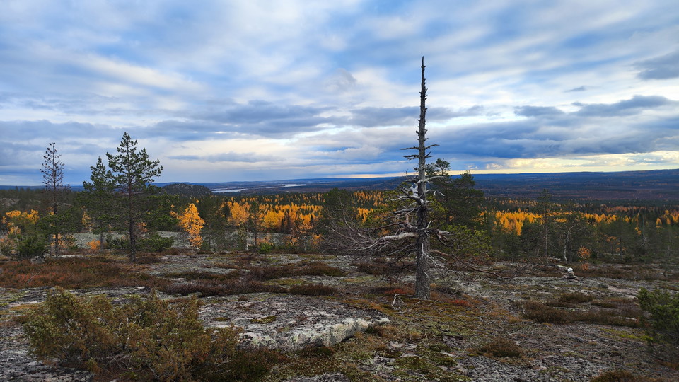
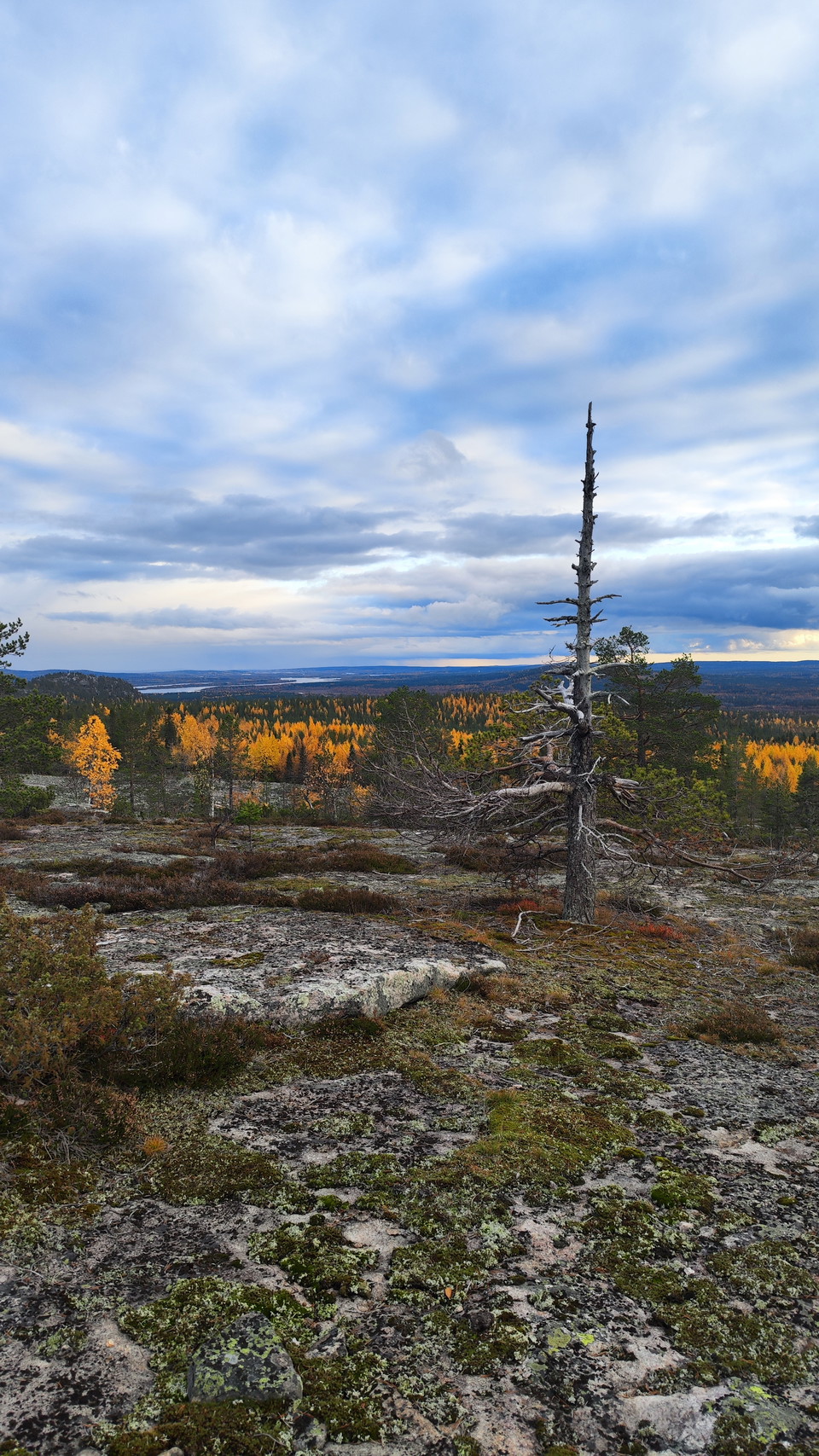
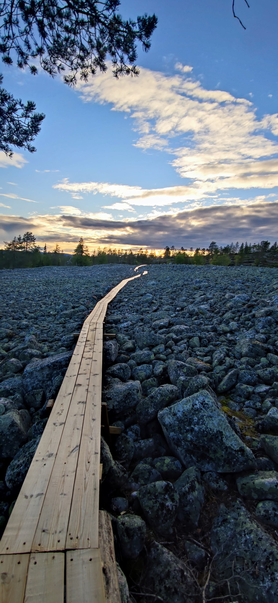
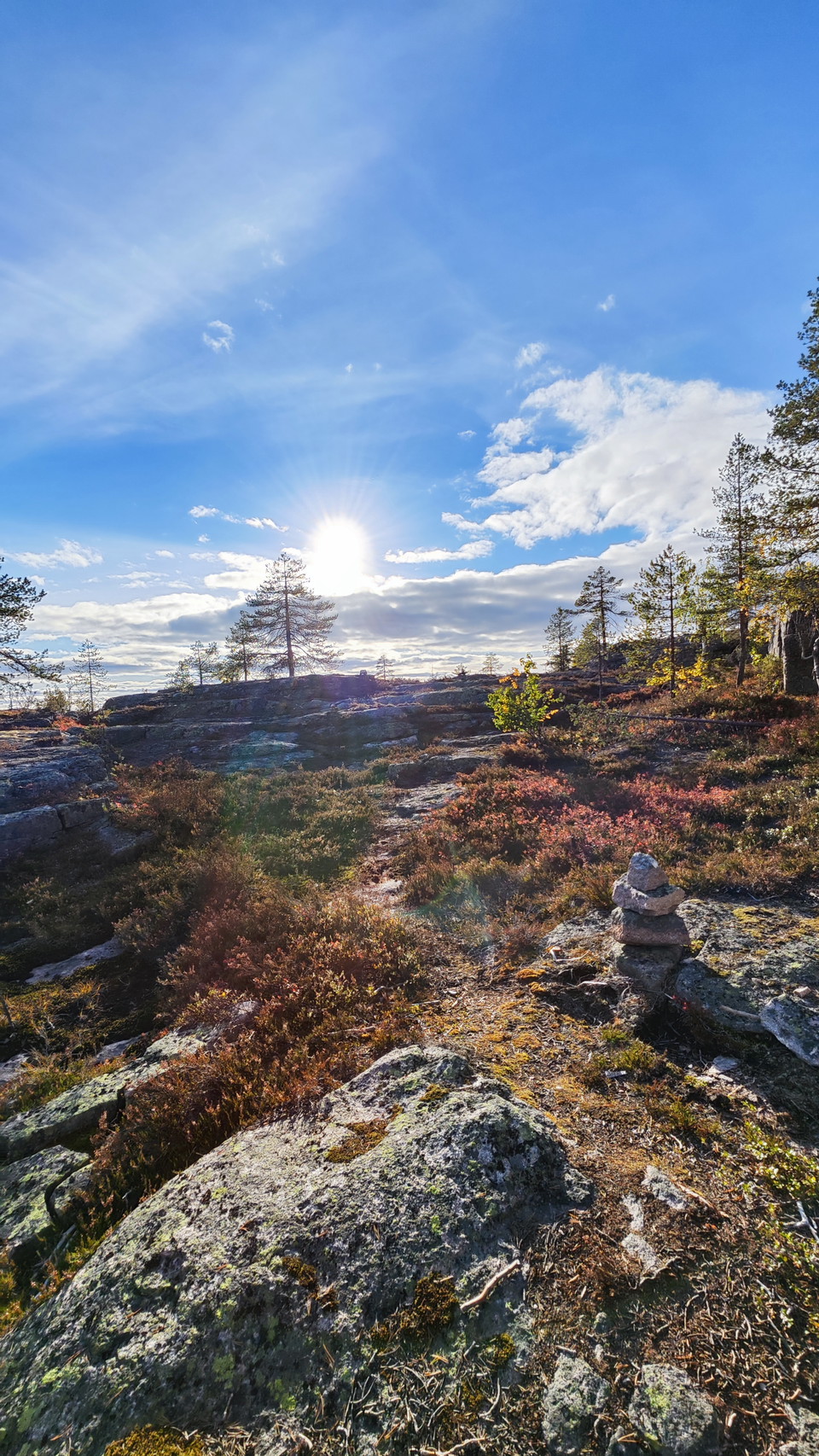
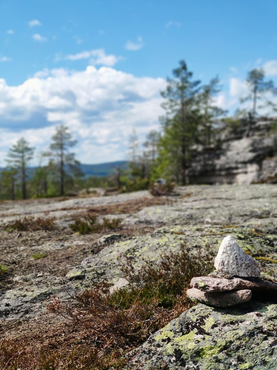
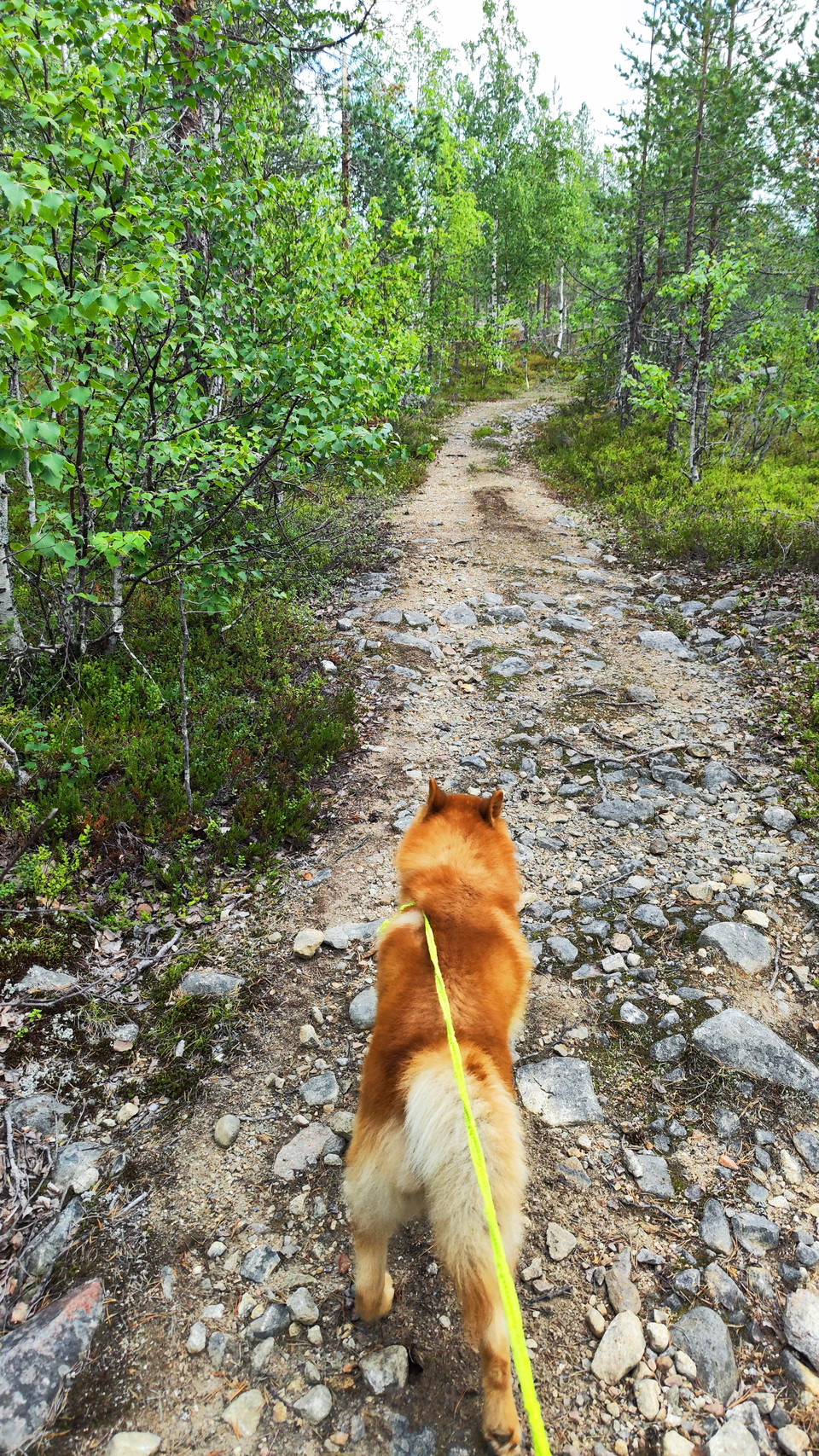
The trails go up the Nuuivaara and Iso Paljukka mountains, two mountain peaks next to each other that are separated by a large shingle field called Pirunpelto (the devil's field). From Armasjärvi you can park your car at the Armasjärvi village cottage by bike it is best to go out on the village road then north and turn right through the farmhouse and follow the path up to the pebble mountains. hikers can start directly from the village cottage following the path that leads up to Pikku Paljukka and there is the pebble field that you travel on. The trail continues up to Iso Paljukka where you can see the Torne River, Mount Luppio and Lake Armasjärvi. There is a barbecue area called the cave which is a natural shelter. The trail follows the smooth stone slope and rocks next to it, and then you come to the rattling stone field which is tracked for walking and cycling. At Nuuivara barbecue area there are benches and hammock where you can rest after a tough workout. The trail then descends 3km until you reach Armasjärvi and the village road through a farm.
If you intend to cycle, you should go clockwise as it is easier. The trail is connected to Luppioberget around the loop which is 5 km long. Starting from wall 99 is the best place if you want to visit the calotte mountain. There are 2 parking lots right next to the start of the trail where you can park your car.
Aktiviteter og fasiliteter
- Terrengsykling
- Løping
- Fotturer
Kontakt
E-postadresse
Övertorneå Kommun
Organisasjonens logotype

Jeg har vært her 3

Jeg ønsker å dra hit 6
Spørsmål og svar
Still et spørsmål til andre brukere av Naturkartan.
Omtaler
2 anmeldelser
- 5 :
- 4 :
- 3 :
- 2 :
- 1 :
Brukernes bilder
Ingen brukerbilder ennå. Bli den første til å dele!

Väl uppmärkt dock led dock längre än vad som står. Men en favorit led för mig här