Etapp: LÅNGSAMHET - 10,7 km
- Kommune: Nacka
- 6841.24 km fra deg
- 10.7 km
Day 2 of 4 includes the targets: 12 - 3 - 13 - 10 Download the Nacka Pilgrim app to check in on all the goals! Download here for iPhone or Android.

Nacka
Naturkarten samler de turstiene i Nacka som er mest populære blant våre brukere.
Day 2 of 4 includes the targets: 12 - 3 - 13 - 10 Download the Nacka Pilgrim app to check in on all the goals! Download here for iPhone or Android.
Day 2 of 5 includes targets: 14 - 8 - 9 - 12 Download the Nacka Pilgrim app to check in at all the destinations! Download here for iPhone or Android.
Day 3 of 5 includes targets: 3 - 13 - 10 Download the Nacka Pilgrim app to check in on all the goals! Download here for iPhone or Android.
Day 4 of 5 includes targets: 6 - 7 - 16 - Download the Nacka Pilgrim app to check in on all the goals! Download here for iPhone or Android.
Day 5 of 5 covers objectives : 4 - 5 Download the Nacka Pilgrim app to check in on all the goals! Download here for iPhone or Android.
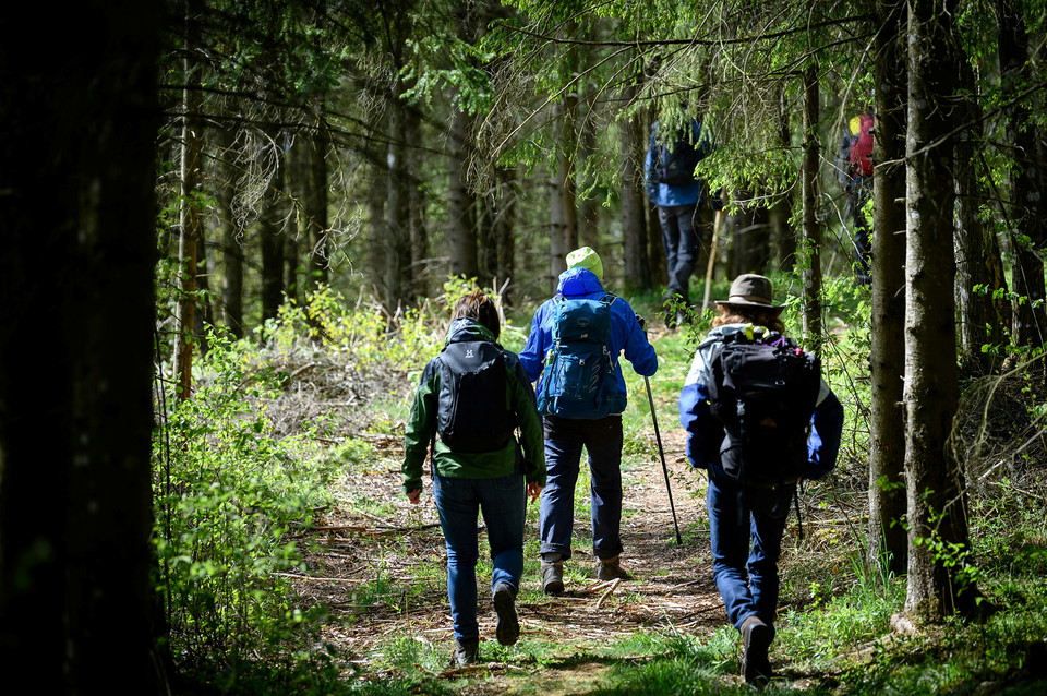
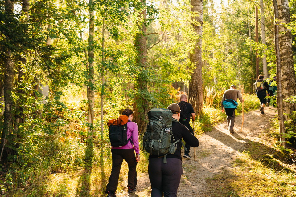
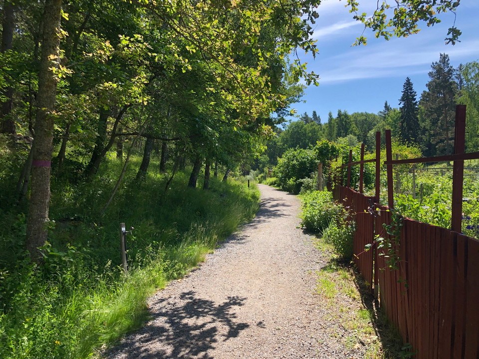
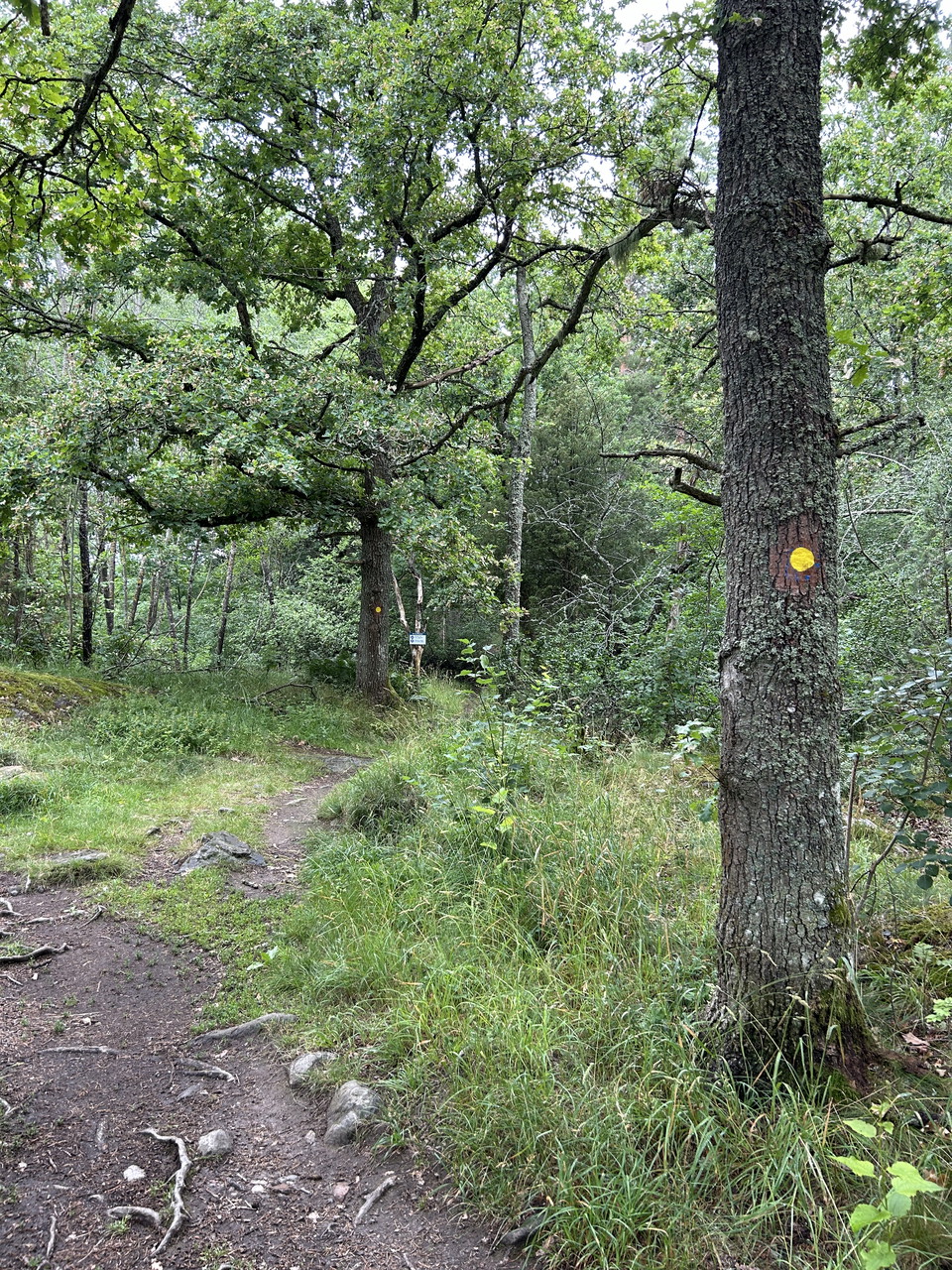
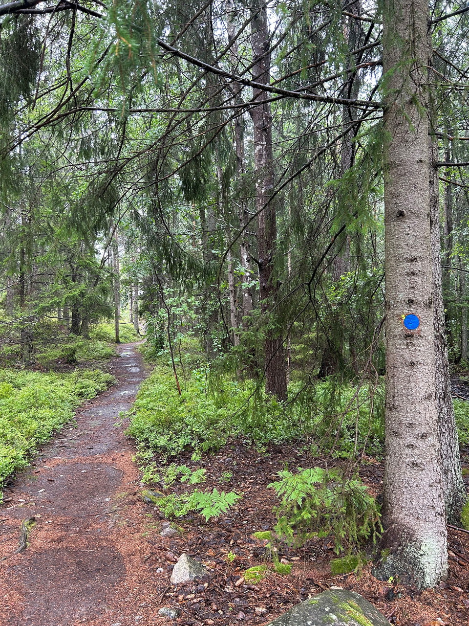
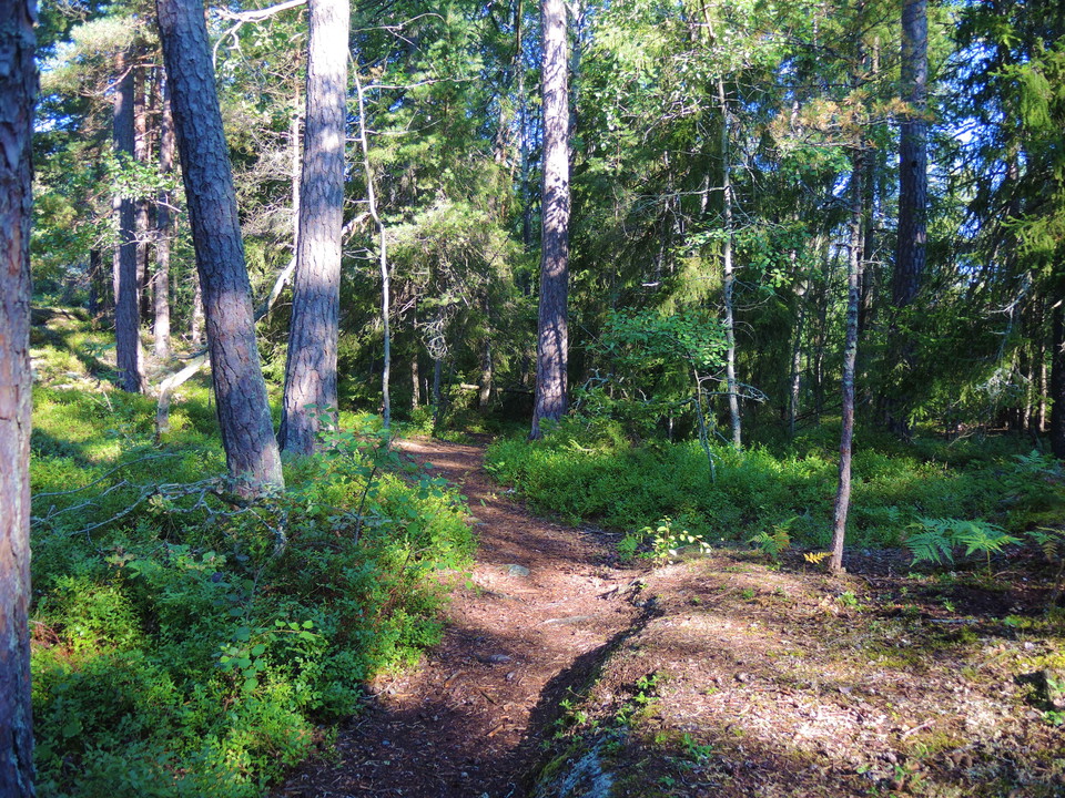
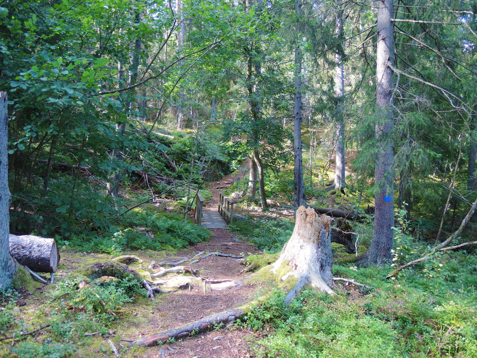
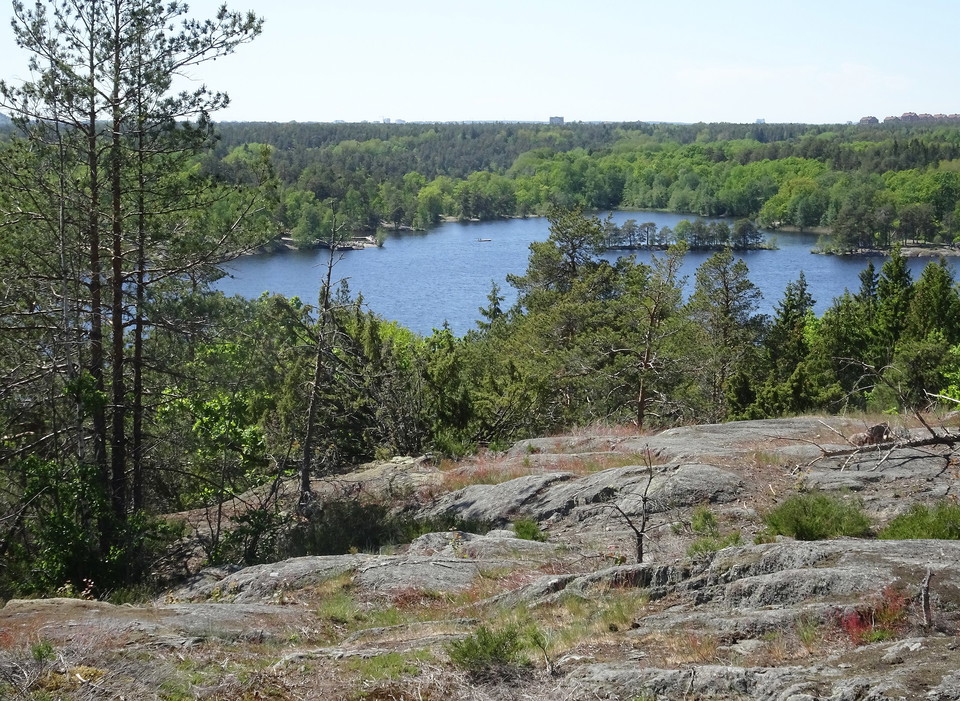
The trail runs through a varied landscape, passing meadows, horse pastures, water, allotments, spruce forests and rocky areas. The trail is hilly in places and graveled in some parts. Suitable for exercisers and forest walkers and dog walkers.
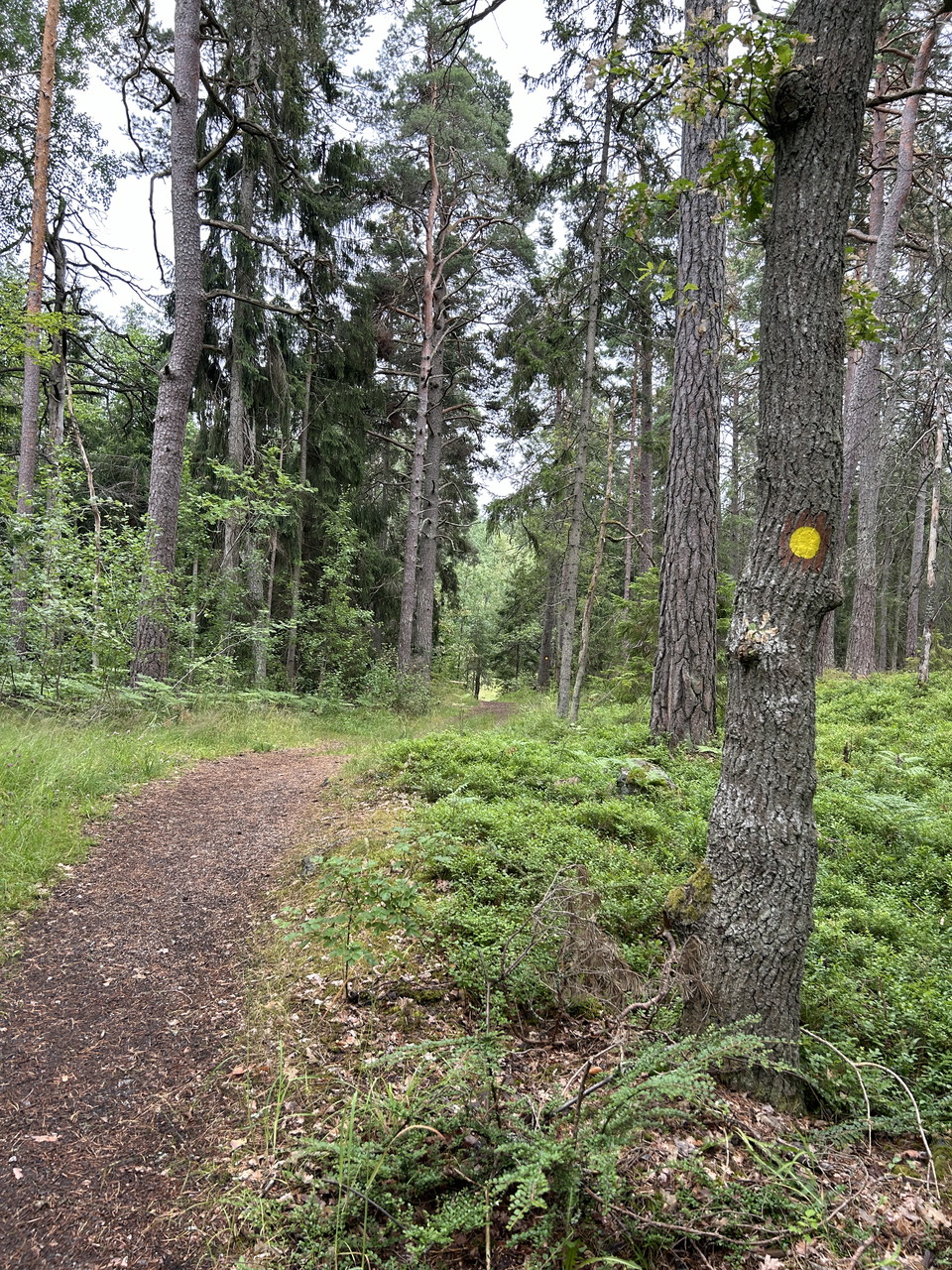
The yellow trail in Tattby runs along the north-eastern shore of Lundsjön-Dammsjön. The hilly landscape offers different natural environments, both wet depressions and beautiful views from dramatic cliffs. There are two rest areas along the shore trail.
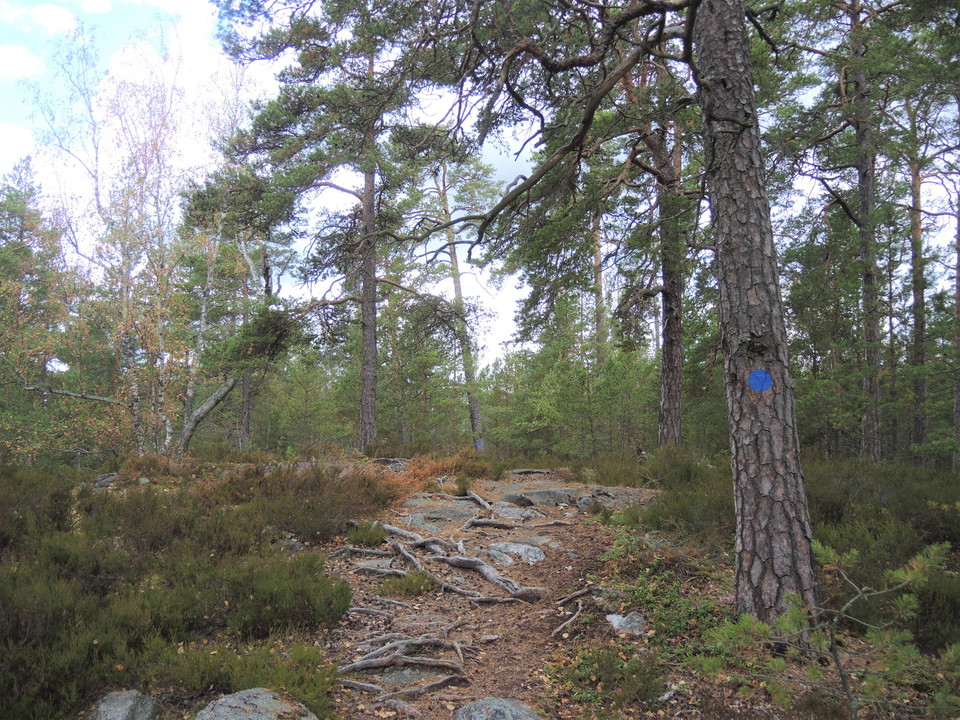
The blue loop in Abborträsk nature reserve takes you around the lake of the same name. The loop is short but hilly. You can take a small detour up to a beautiful viewpoint on a high cliff by the lake where there is a bench table. Be careful at the viewpoint…
Welcome to a leafy forest walk on a small path, the trail offers hilly terrain with beautiful views and dramatic rock formations. Follow the green markings and feel free to make a fire in the fireplace, the small lake located in the reserve is not suitable…
Svärdsö offers cliffs and dramatic views, the trail is hilly and narrow.
This loop is hilly with a mix of easier gravel sections and more difficult forest trails.
The Blue Trail runs in the forest, on a gravel road and on the street. The path is hilly.
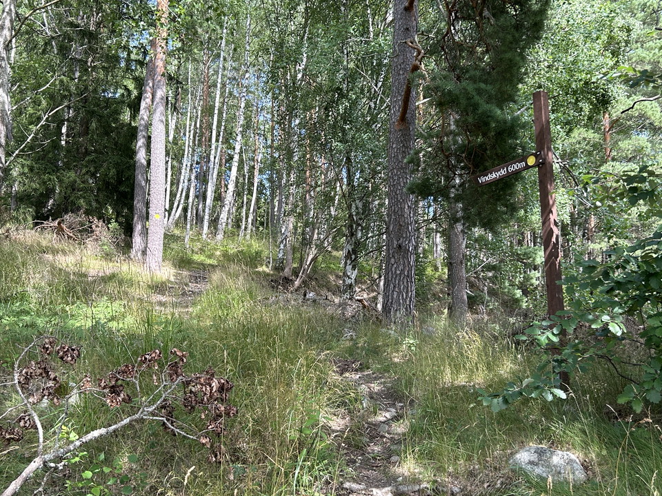
The yellow trail leads to Sommarbo, on the way you will find a shelter with a fireplace, on the path towards the shelter from Velamsundsvägen you will find the firewood store, there you can bring firewood to the shelter and split it yourself.
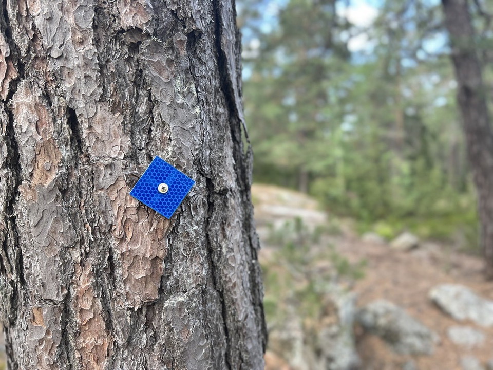
The Blue Trail is an exciting and somewhat demanding hiking trail with large elevation changes. The hike largely follows the outer boundary of the reserve and passes many interesting destinations. The trail is marked in both directions with reflectors that…
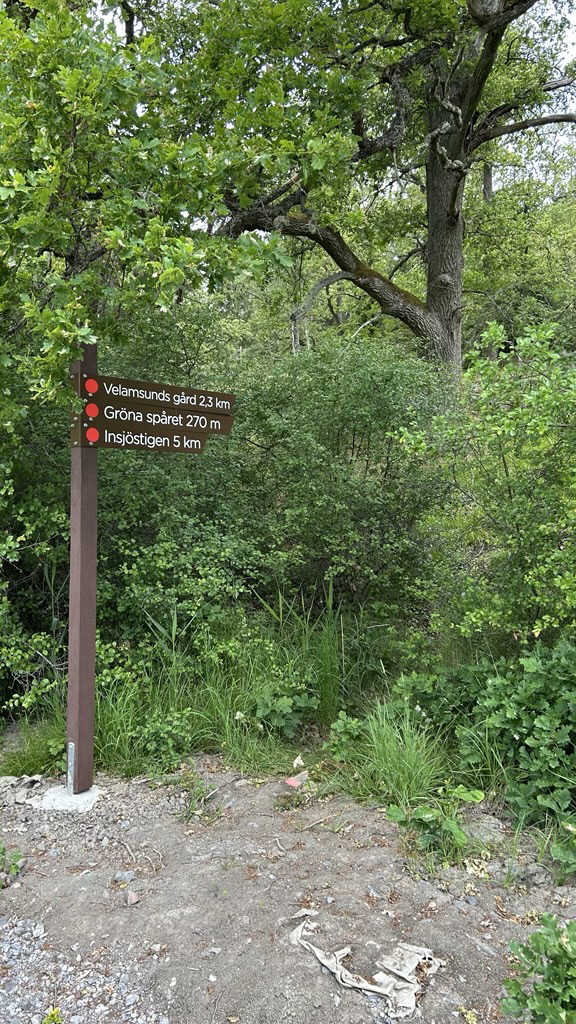
Insjöslingan starts from the parking lot along Lagnövägen. Half of the trail runs along dramatic cliffs with views of the lake, there is also a table to pause at. This part is sometimes demanding but very adventurous and fun, the rest of the trail runs alon…
Naturkarten samler de turstiene i Nacka som er mest populære blant våre brukere.