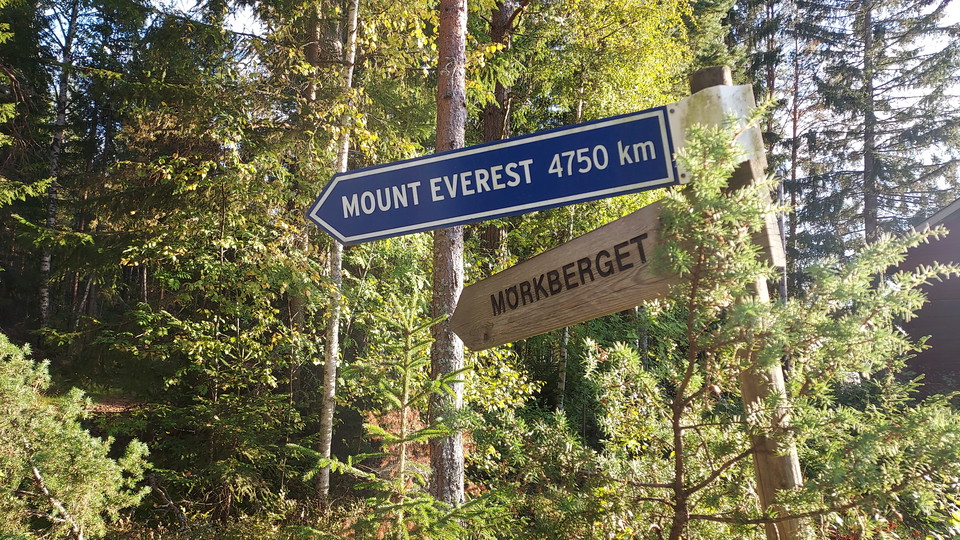
Vandringsled upp på Mörkberget
- Kommune: Ljusdal
- 6618.63 km fra deg
- 1.6 km
- 30 min
- Vanskelighetsgrad: Blå
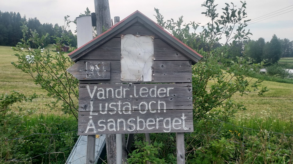
A short and pleasant hiking trail up Mörkberget. Once up, the hiker is rewarded by beautiful views of the Ljusnan valley.

Ljusdal
Naturkarten samler de turstiene i Ljusdal som er mest populære blant våre brukere.
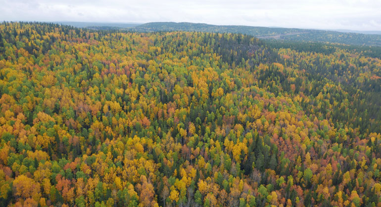
A short and pleasant hiking trail up Mörkberget. Once up, the hiker is rewarded by beautiful views of the Ljusnan valley.
It is possible to vary the hike by either only going up Lustaberget from Nor, the trip with the steep path up and easy path down will be 3 km. There is room for a few cars to park where the trail starts in Nor after an old bridge over Norsundet. It is also…
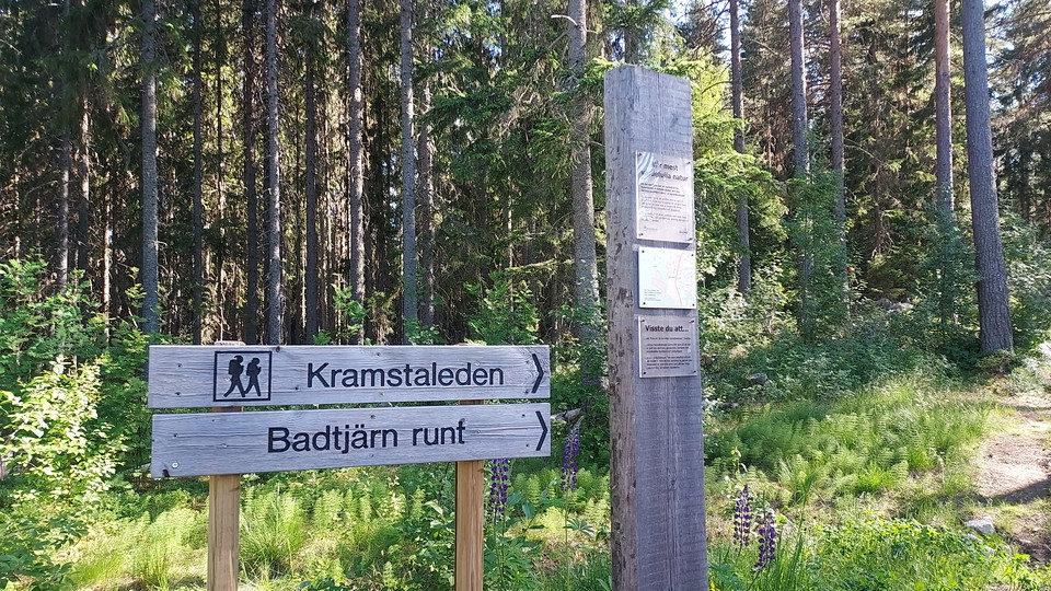
The Kramstaleden trail is relatively easy to walk, it runs along several wide and well-trodden paths. The trail goes through beautiful forests and takes you past Kramstatjärn with both a rest house with barbecue facilities and a dry toilet. At Kramstatjärn…
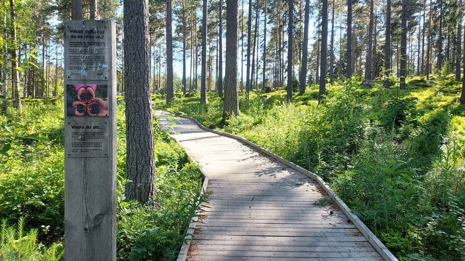
Tillgänglig vandringsled mellan Vildrikets översta vänstra parkering till Badtjärn. Underlaget är som en trottoar i trä där det går bra att gå med barnvagn, rollator eller rullstol. Det är 7 meters stigning på cirka 200 meter.
Short hiking trail around Badtjärn. Marked with orange color. There is a nice picnic area at Badtjärn. There are also several hiking and biking trails in the area.
Stage 16 of the Helgon Trail, a pilgrimage route between Uppsala and Trondheim. Read more about Helgonleden and this particular stage on paxwalk, see link on this page.
Stage 17 of the Helgon Trail, a pilgrimage route between Uppsala and Trondheim. Read more about this stage and the Helgon Trail on Paxwalk, see link on this page.
Stage 18 of the Helgon Trail, a pilgrimage route from Uppsala to Trondheim. More information about this stage and about the Helgon Trail can be found on Paxwalk see link on this page.
Stage 19 of the Helgonleden, a pilgrimage route from Uppsala to Trondheim. More information about Helgonleden and this stage can be found on Paxwalk, follow the link on this page.
Stage 20 of the Helgon Trail, a pilgrimage route from Uppsala to Trondheim. More information about Helgonleden and this stage can be found on Paxwalk, see link on this page.
Naturkarten samler de turstiene i Ljusdal som er mest populære blant våre brukere.