Heby

Beste turstier i Heby

Naturkarten samler de turstiene i Heby som er mest populære blant våre brukere.

Kart

18 Beste turstier i Heby

Fotturer

Upplandsleden, etapp 18, Skekarsbo–Gysinge

  • Kommune: Heby
  • 6726.05 km fra deg
  • 14.5 km

Section 18, a detour from the northwestern part of The Uppland Trail, goes from Skekarsbo to Gysinge, where you can continue onto The Gästrikland Trail. Large parts go through national park Färnebofjärden, and nature reserve Gysinge, and you’ll pass many ni…
Fotturer

Upplandsleden, etapp 19, Skekarsbo–Nora kyrka/Tärnsjö (Kyrkstigen)

  • Kommune: Heby
  • 6728.63 km fra deg
  • 9.5 km

This part of The Uppland Trail starts in Skekarsbo by River Dalälven, and ends at Nora Church in Tärnsjö. The section is an old church path that was long used by villagers in the area to get to church. The first third takes you from national park Färnebofjä…

Fotturer

Upplandsleden, etapp 22, Tenasjön–Skattmansöådalen

  • Kommune: Heby
  • 6757.54 km fra deg
  • 9.5 km

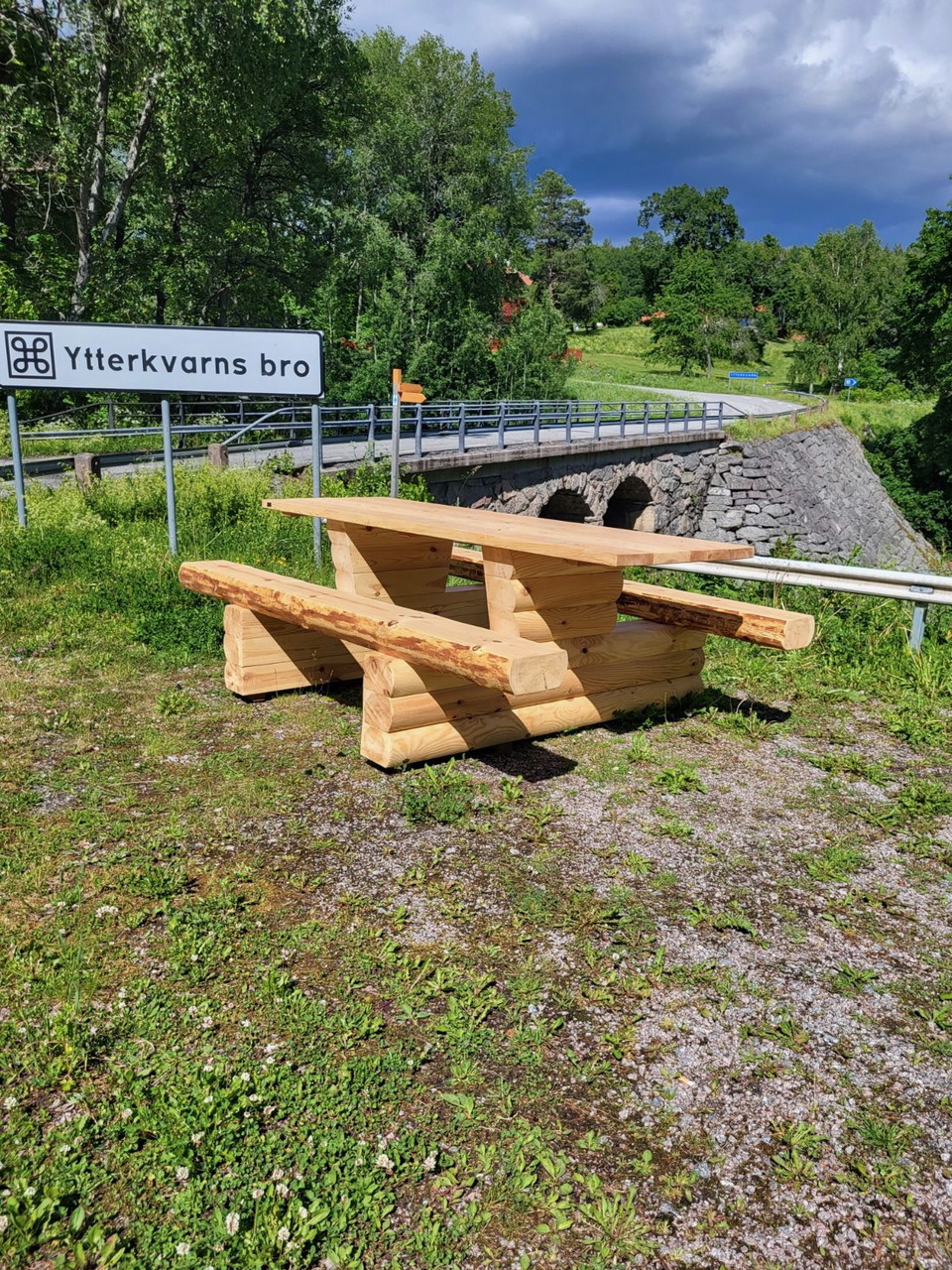
Section 22 begins at the beach by Lake Tenasjön, and ends in Ytterkvarn in nature reserve Skattmansöådalen. From the beach, you’ll walk along paths and gravel roads down to the southern end of the lake. At the beginning, where the trail turns off into the f…

Fotturer

Röda stigen, Östa

  • Kommune: Heby
  • 6727.47 km fra deg
  • 2.5 km

Röda stigen är 2,5 km lång och går i slinga från parkeringen mitt emot campingen, förbi smultronstället Östa stränder och nära badet vid campingen, ner mot Linsjön och tillbaka. Stigarna är lättgångna.

Fotturer

Gula stigen, Östa

  • Kommune: Heby
  • 6727.74 km fra deg
  • 5.2 km

The Yellow Trail is 5 km long. You can access it from the parking lot opposite the campsite or the parking lot by the Stormossen bird tower.

Fotturer

Gröna stigen, Östa

  • Kommune: Heby
  • 6727.95 km fra deg
  • 9.0 km

The Green Trail is 10 km long and runs through the campsite, past the footbridge out to Stormossen's bird tower and down to the Ingbo Springs nature reserve.

Fotturer

Omarkerad stig 2,5 km, Hedesundafjärden

  • Kommune: Heby
  • 6726.76 km fra deg
  • 2.6 km

On the former embankment in the area there is an unmarked path that you can follow across Storön and up to Gysinge. The path crosses the Dalälven River on narrow former railway bridges that today serve as footbridges.

Fotturer

Spång, Stormossen

  • Kommune: Heby
  • 6728.78 km fra deg
  • 0.4 km

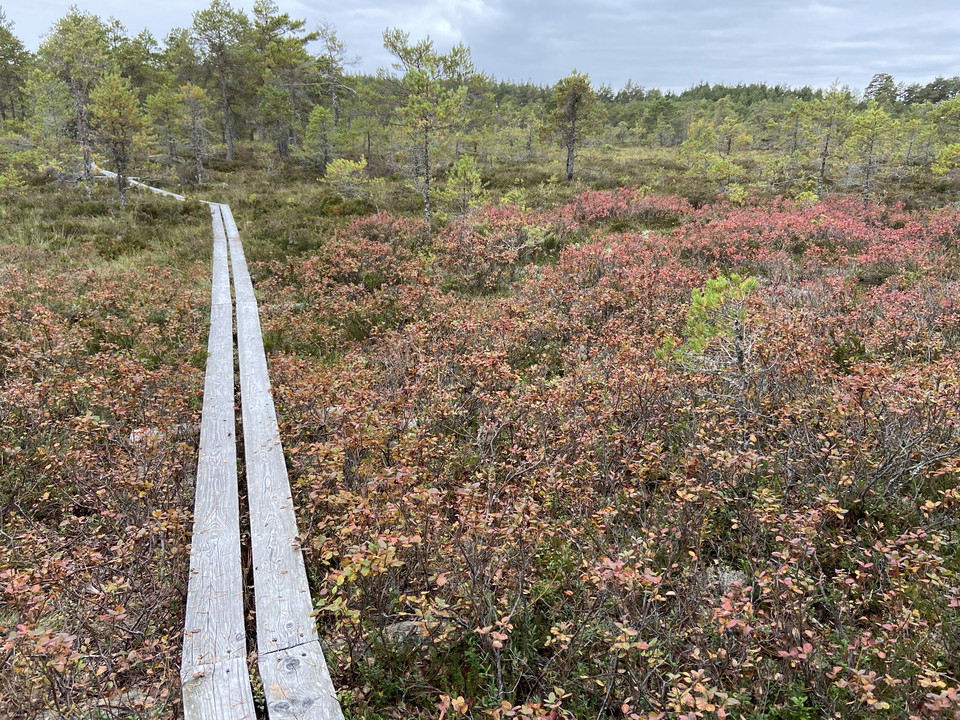
En 300 m lång spång, två plankor bred, leder ut till fågeltornet på Stormossen.

Fotturer

Skekarsboslingan

  • Kommune: Heby
  • 6728.11 km fra deg
  • 3.0 km

Skekarsboslingan is a 3 kilometer trail that passes, among other things, Skekarsbotornet and the windbreak at Brättnäset, where it is also allowed to camp.

Fotturer

Sevedskvarn-Skekarsbo, markerad led

  • Kommune: Heby
  • 6728.19 km fra deg
  • 8.0 km

An approximately 8 km long trail (partly gravel road, partly path) between Sevedskvarn and Skekarsbo. The trail is marked with orange trail markings (painted on trees and posts) and runs mainly outside the national park boundary. Orange (painted)

Fotturer

Naturstig Öberget-Tinäsområdet

  • Kommune: Heby
  • 6726.21 km fra deg
  • 16.0 km

From Öberget there is a longer hiking trail totaling about 16 km with the possibility of choosing shorter alternatives. In addition to the hiking trail, there is an easy gravel road that goes all the way to the open cottage Alderbäcksrör. The gravel path ca…

Fotturer

Upplandsleden, etapp 20:1, Östa-Råsbo

  • Kommune: Heby
  • 6731.36 km fra deg
  • 9.5 km

Substrate: path and forest roads Start: Ingbo springs nature reserve, adjacent to Östa nature reserve End: Råsbo Service: Parking, toilet and picnic table at Ingbo, picnic table at Masteråsen in the middle of the route, parking at Råsbo Nature type: Largely…

Fotturer

Upplandsleden, etapp 20:2, Råsbo-Huddunge

  • Kommune: Heby
  • 6736.15 km fra deg
  • 12.0 km

Substrate: Forest trails in river environment, trails through blocky forest and gravel road Start: Råsbo End: Huddunge Service: Parking at Råsbo, barbecue and picnic area at Huddunge school, parking at the parish hall in Huddunge Nature type: Pebble ridge w…

Fotturer

Upplandsleden, etapp 20:3, Huddunge-Siggefora

  • Kommune: Heby
  • 6743.67 km fra deg
  • 21.5 km

Surface: Country road, forest path, gravel road Start: Huddunge End: Siggeforasjön Service: Parking and barbecue area in Huddunge, rest, bathing and barbecue and parking area at Myransjön, parking at the nature reserve Ruthagsskogen, rest cabin and barbecue…

Beste turstier i Heby

Naturkarten samler de turstiene i Heby som er mest populære blant våre brukere.

Naturkartan

Åpne dette i appen