
Örens fvof
- Fiskeribevaringsområde
- Abbor
- Braxen
- Gjedde
- Gös
- Lake
- Smar
- Sik
- Siklöja
- Steinabbor
- Bergsimpa
- Gärs
- Norsk
- Røye
- Sarv
- Fylke: Jönköpings län
Handlinger
Beskrivelse
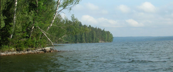
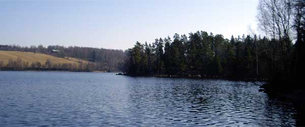
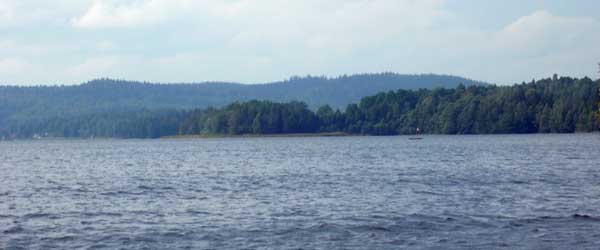
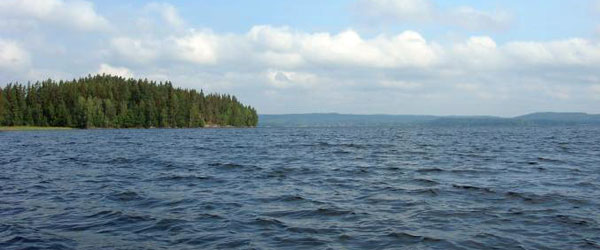
About 8 km east of Gränna is Lake Ören.
Ören is located in a trench and has an area of about 920 hectares and has a maximum depth of 36.8 meters. The visibility depth in the lake is large and is 5.1 meters. The lake is classified as a nutrient-poor to moderately nutrient-rich lake.
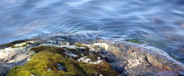
Ören is connected to Bunnsjöarna (Södra, Mellan and Norra Bunnsjön) and Nedre and Övre Kvarnsjön by a canal system, which makes the whole area very interesting for anglers, canoeists and boaters. The beaches in Ören are mostly rocky and stony, but in the northern part of the lake there are sandy and clay beaches. The plant, fish and animal life is very rich. There are 16 different types of fish in the lake. If you are lucky, you may also see otters and wild boar. There are also nesting common guillemots around the lake. Among the plants that can be found in and around the lake, you can mention threadmoss, bladderwort, brown sedge, coarse sedge and creeping sedge.
Aktiviteter og fasiliteter
- Fiskeribevaringsområde
Jeg har vært her
Jeg ønsker å dra hit
Spørsmål og svar
Still et spørsmål til andre brukere av Naturkartan.
Omtaler
0 anmeldelser
- 5 :
- 4 :
- 3 :
- 2 :
- 1 :
Brukernes bilder
Ingen brukerbilder ennå. Bli den første til å dele!
