
-
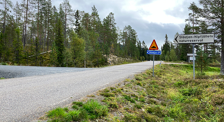
Städjans parkering ligger mellan Bergevägen som går från Idre by och väg 311. Området ligger cirka 8 kilometer nordost om Idre. -
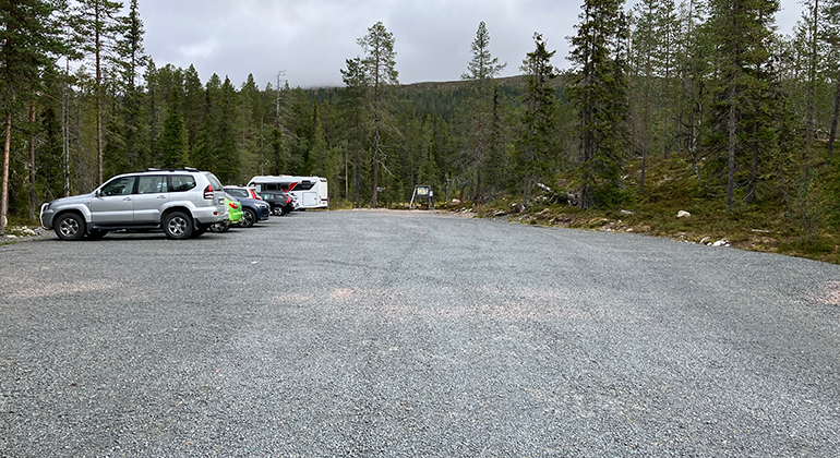
Det finns en grusad parkering för cirka 40 bilar. Parkeringen plogas inte vintertid. -
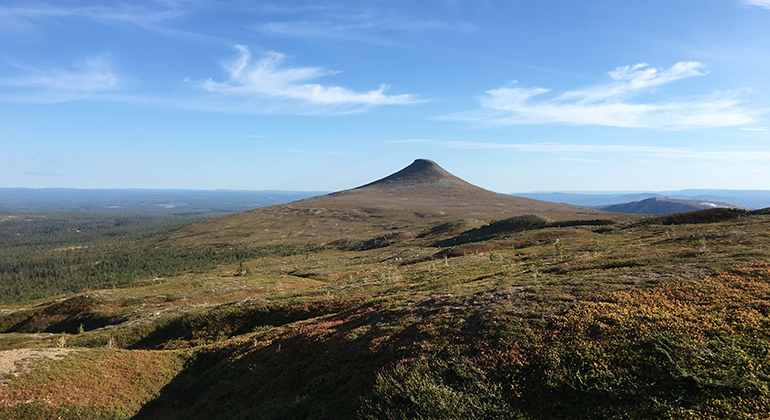
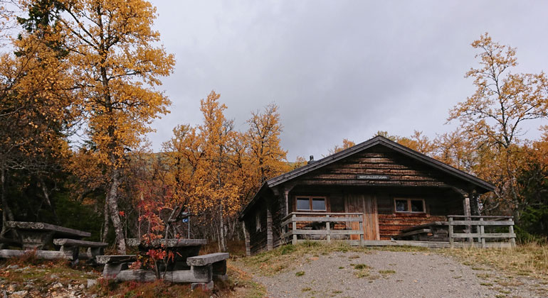
Från denna entré kan du vandra, topptura, åka skidor, uppleva natur och utsikt. Möjlighet till rast och vila finns vid de utplacerade bänkborden. -
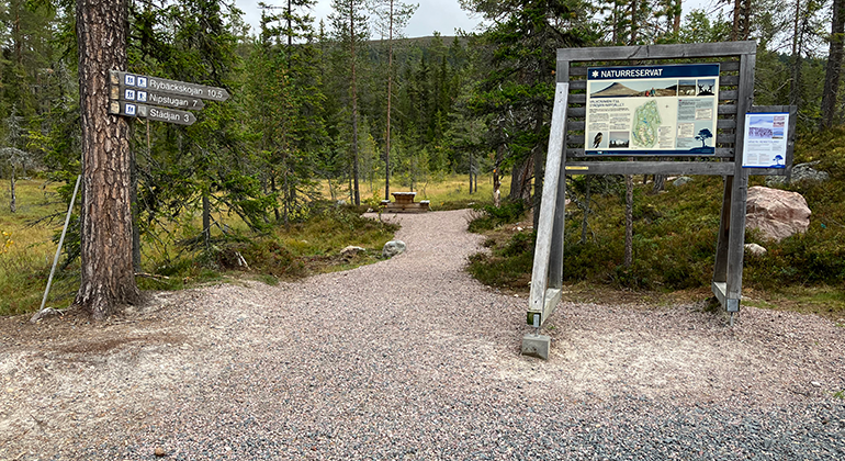
Vid entrén till reservatet kan du ta del av information om naturreservatet vid tavlan. -
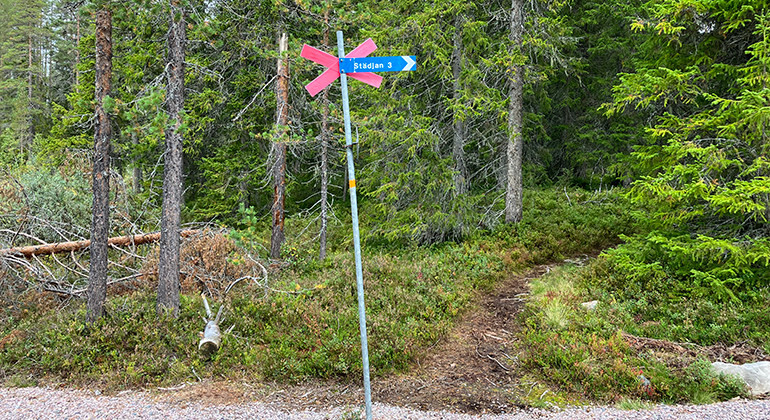
Till Städjans topp från entrén är det cirka 3 kilometer och cirka 6 kilometer tur och retur. Till Nipstugan cirka 7 kilometer. Till Rybäckskojan cirka 10,5 kilometer. -
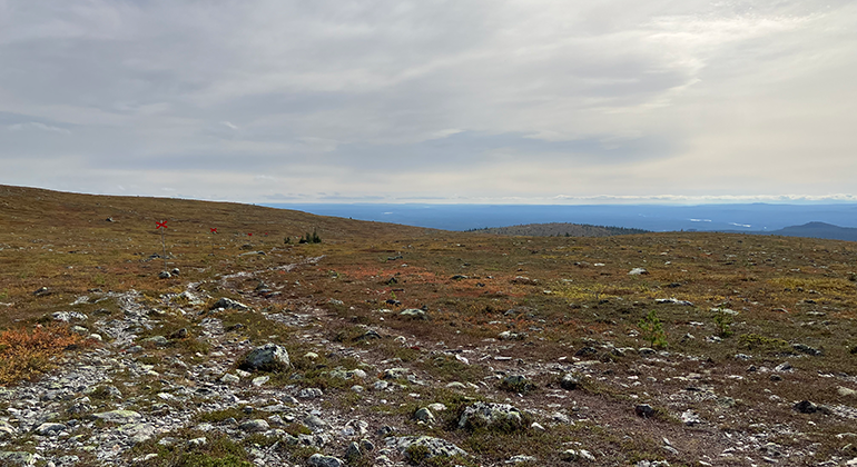
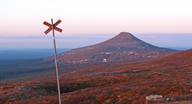
Sommartid, följ orange målning på stenar och träd. Vintertid, följ kryssleden med röda kryss på stolpar. -
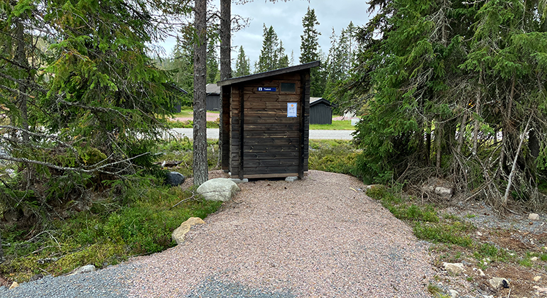
Torrdass finns vid parkeringen. En grusad stig når fram till torrdasset. -
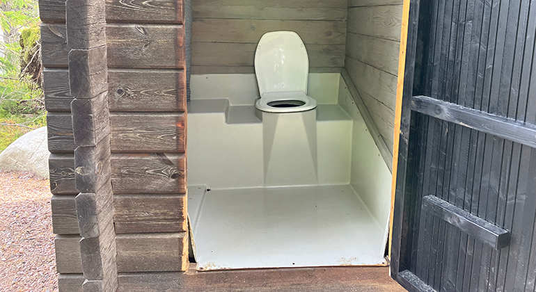
Det är en hög tröskel på 25 centimeter för att ta dig in i dassbyggnaden. Toalettpapper och handsprit finns oftast, men vid högt besökstryck kan det ta slut. -
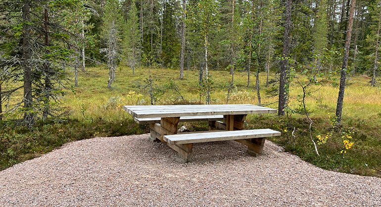
Bänkbord med förlängd gavel vid entrén. -
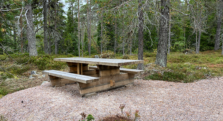
Efter 400 meter in från parkeringen, finns ytterligare ett bänkbord med förlängd gavel. -
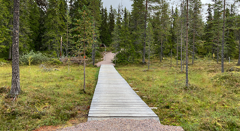
Efter 70 meter från entrén kommer du till en 1,5 meter bred och 22 meter lång däckspång över en myr. Efter däckspången passerar du kryssledens början. -
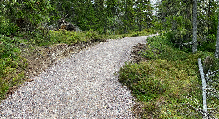
Strax efter stigskiljet för kryssleden kommer den första lilla stigningen. -
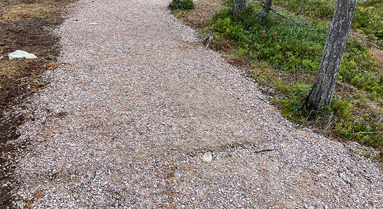
Cirka 400 meter är grusad led. Bredden på leden är ungefär 180 centimeter. -
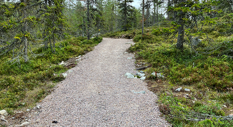
Mindre stenar förekommer i kanterna på den grusade leden. -
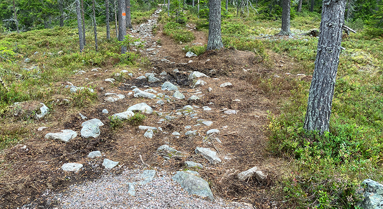
Efter 400 meter från entrén tar den grusade leden slut. Terrängen blir stenig och granskogen tar vid. -
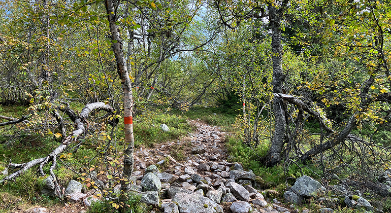
Leden går en kort sträcka genom snårig björkskog upp mot kalfjället. -
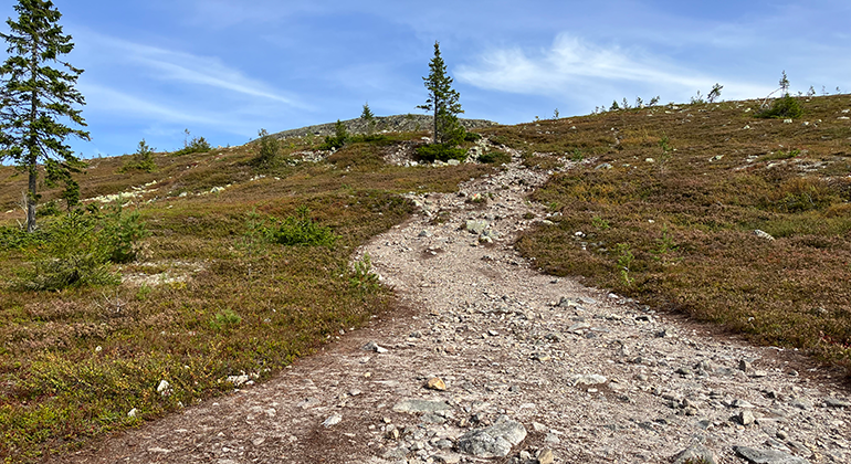
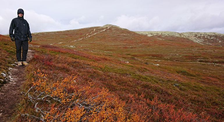
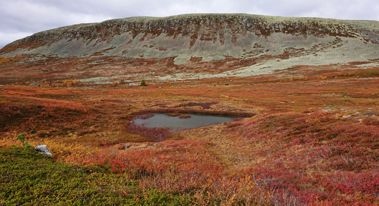
Efter cirka 1 kilometer kommer du ovanför trädgränsen och kalfjället tar vid. -
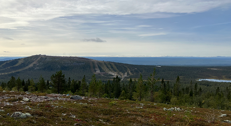
När du kommer ut ur gran- och björkskogen har du Idre fjälls skidanläggning i ryggen. -
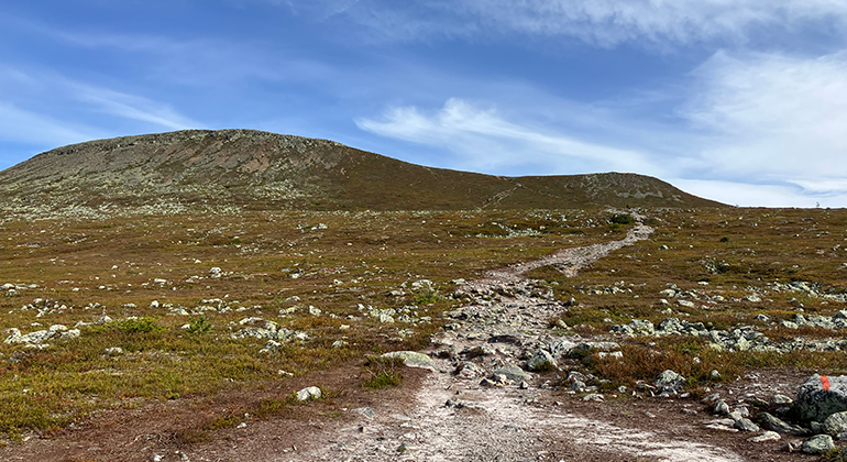
Ett plattare parti tar vid innan den riktigt branta stigningen börjar till toppen. -
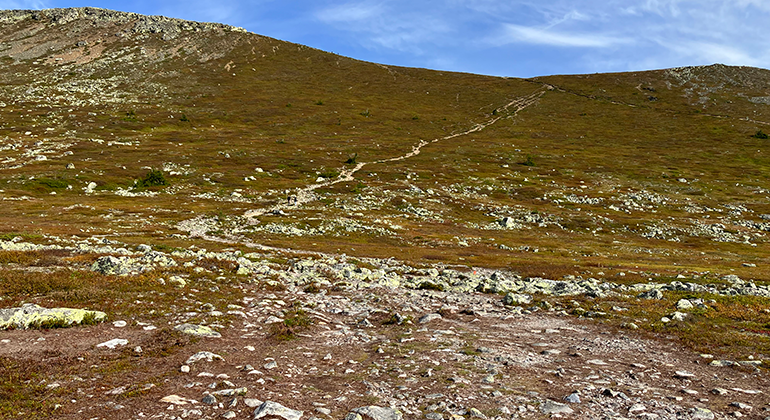
De sista 800 meter till toppen är riktigt brant stigning. -
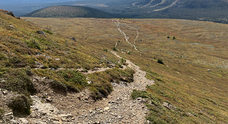
Det söndermalda gruset gör att det kan vara lätt att halka, så ta det försiktigt. -
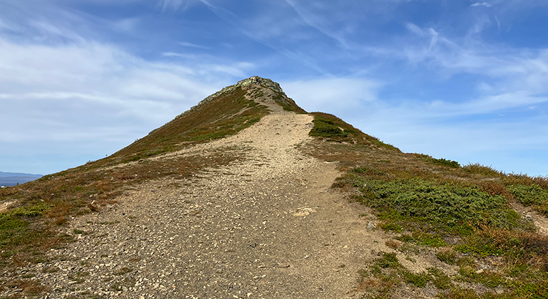
Den sista biten mot toppen går du på bergsryggen eller kammen som det också kallas. -
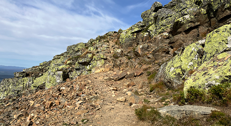
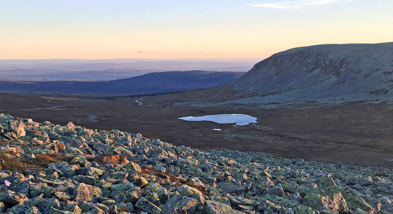
Sista partiet upp mot toppen är blockigt och du får ta hjälp av både händer och fötter. -
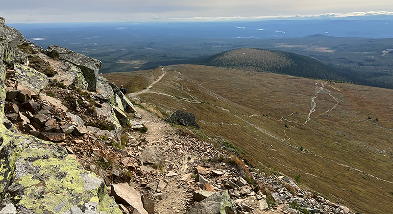
Vänder du dig om strax innan toppen ser du stigen ända ned till trädgränsen. -
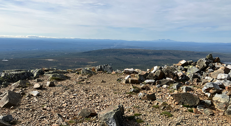
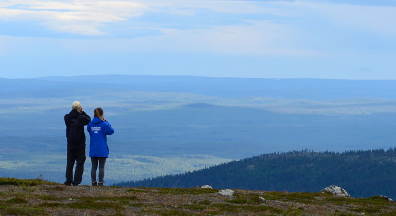
Väl uppe på toppen finns platåer där du kan sätta dig på en sten och vila. Klara soliga dagar ser du ända bort till Grövelsjön och norska gränsen eller Fulufjället. -
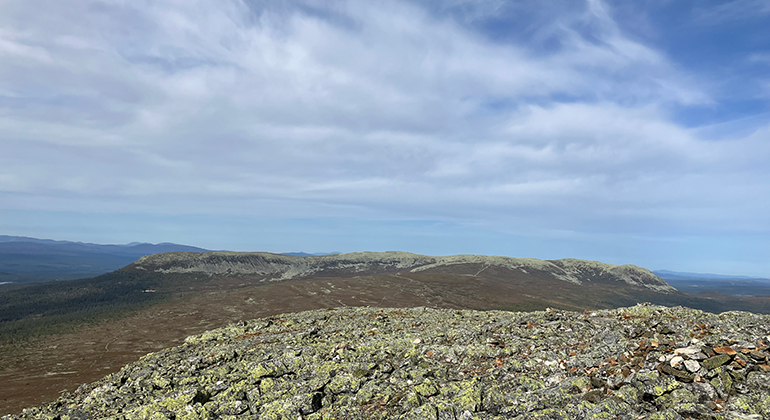
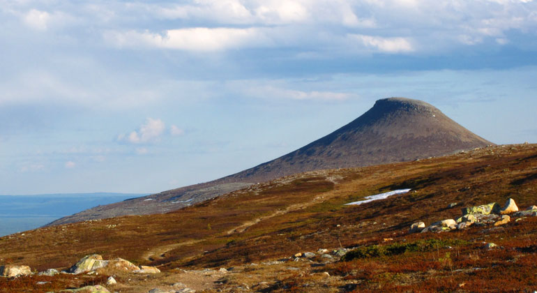
Även utsikten mot Nipfjällets topp är vacker. -
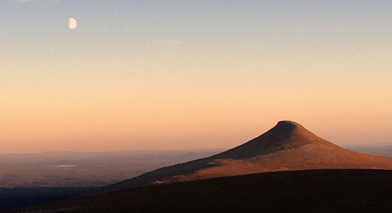
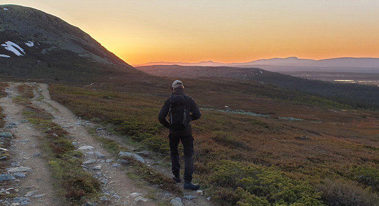
Att sitta uppe på Nipfjället en sommarkväll och se solen gå ned över vidderna runt Städjan är magiskt. Man kan förstå att folk förr i tiden trodde Städjan hade speciella krafter.
Foto: Jens Montelius Risberg, Länsstyrelsen i Dalarnas län -
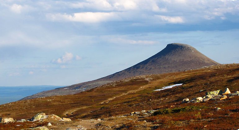
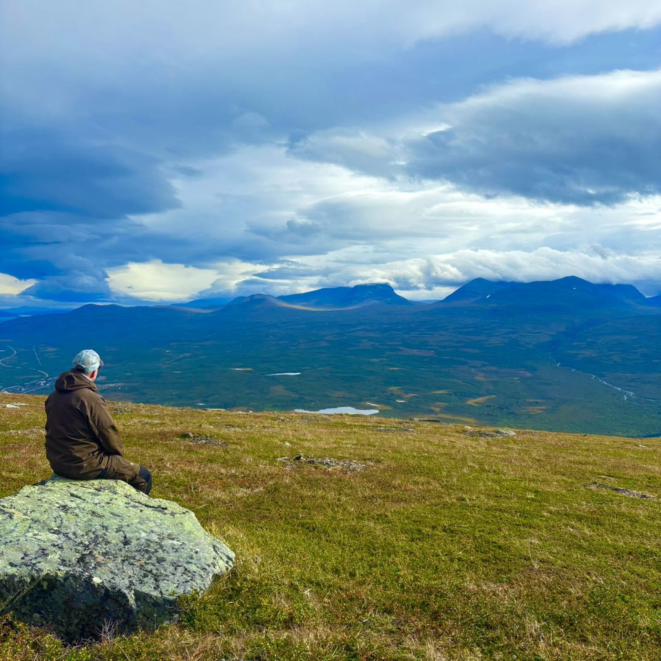
Vy över Städjan sett från Nipfjället.
Foto: Länsstyrelsen i Dalarnas län -
-
-
-
-

-
-
-
-
-
-
-
Städjan-Nipfjället, Naturreservat
- Naturreservat
- Fylke: Dalarnas län
Handlinger
Beskrivelse
Aktiviteter og fasiliteter
- Naturreservat
Fakta
Bildades: 1992/1994Storlek: 24 481haKommun: ÄlvdalenFörvaltare: Länsstyrelsen Natura 2000: Ingår i EUs nätverk av skyddad natur. Om Natura 2000
Veibeskrivelse
The area is located about 8 km northeast of Idre.
Forskrifter
The following activities are not permitted in the reserve:
- Damaging growing or dead trees—whether standing or fallen—as well as stumps and shrubs, with the following exceptions:
- Small, loose branches and twigs may be collected for the purpose of making a fire. This exception does not apply to dead trees, fallen logs, or tar-covered stumps.
- Drive motorized vehicles off-road. This applies to both bare ground and snow-covered ground, with the following exceptions:
- Snowmobiles may be driven on snowmobile trails marked on the official map when the ground is covered with snow.
- flying—at an altitude below 300 meters—and landing aircraft (including model aircraft, paragliders, kites, and drones),
- causing damage to the ground or geological features, except when conducting geoscientific surveys with the County Administrative Board’s permission for the purpose of contributing to increased knowledge of the area’s geology. Exceptions also apply within the signposted area at the summer parking lot at Nipfjället, where stone tower construction is permitted.Map: Area exempt from the regulation where stone tower building is permitted. PDF, 235.2 kB.
- within the area shown on the attached map (see below), camping, parking for more than 24 hours, or setting up a trailer or motorhome anywhere other than in locations specifically designated by the County Administrative Board Map: area where camping, parking for more than 24 hours, or setting up a trailer or motorhome, other than in locations specifically designated by the County Administrative Board. pdf, 400.1 kB.
- camp within the area marked on the map, or light a fire anywhere other than in a location designated by the County Administrative Board.Map of Städjan Nipfjället: Area where camping or lighting fires is prohibited except at locations designated by the County Administrative Board. pdf, 424.2 kB.
- cycling off-road or outside designated bike paths,
- operating a boat with an internal combustion engine.
At the bottom of the page, you’ll find maps showing:
- Areas where it is permitted to build stone towers.
- Locations where camping and parking are permitted for a maximum of 24 hours, and where you may park a trailer or motorhome.
- Locations where it is permitted to pitch a tent or build a fire.
Finally, it is prohibited to do the following without a permit from the County Administrative Board:
- dig up plants, collect mosses, lichens, and wood-dwelling fungi, or collect animals such as insects, with the following exceptions:
- Collection of benthic fauna is permitted.
- organizing or conducting large-scale events—with more than 100 participants—or recurring competitions, camp activities, or other organized events,
- conducting military or police training exercises, or mountain rescue and emergency response drills.
- horseback riding.
Click on the nature reserve’s name and select the “Documentation” tab to view the documents. Here you will find both the current and appealed decisions regarding Städjan-Nipfjället.
Kontakt
Adresse
E-postadresse
Organisasjonens logotype

Jeg har vært her 21




Jeg ønsker å dra hit 26



Spørsmål og svar
Still et spørsmål til andre brukere av Naturkartan.
Omtaler
0 anmeldelser
- 5 :
- 4 :
- 3 :
- 2 :
- 1 :
Brukernes bilder
Ingen brukerbilder ennå. Bli den første til å dele!
