
-
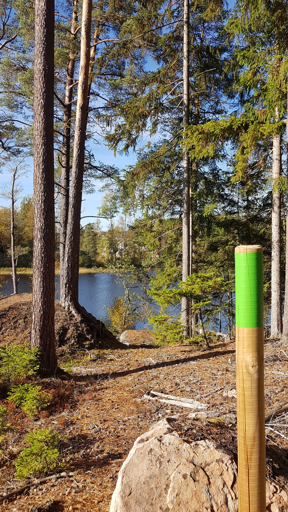
Södra Grytsjön -
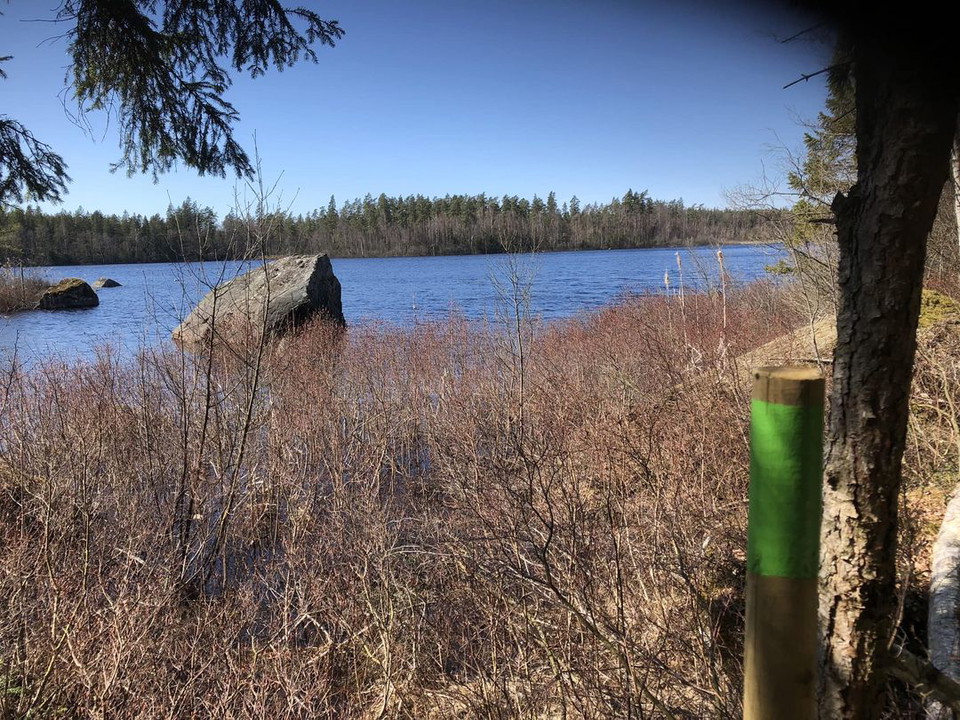
Södra Grytsjön -
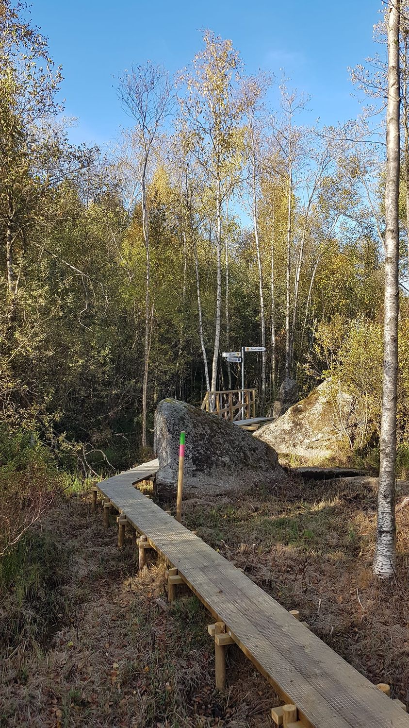
Trelänsstenen -
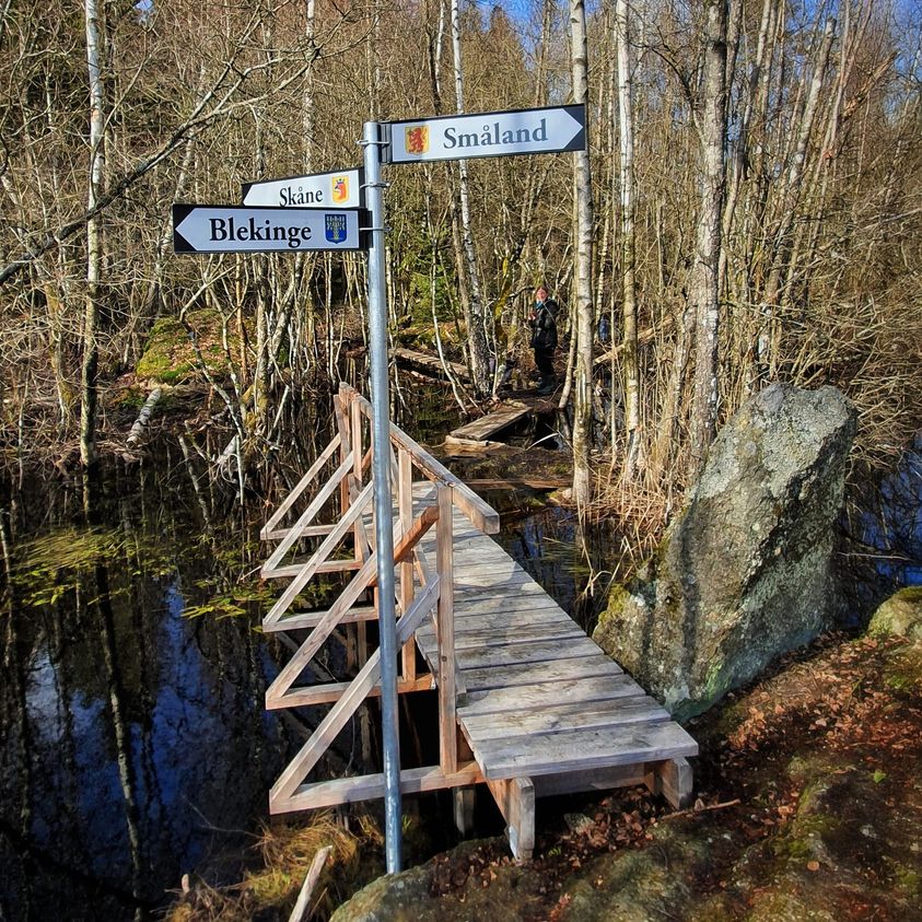
Trelänsstenen -
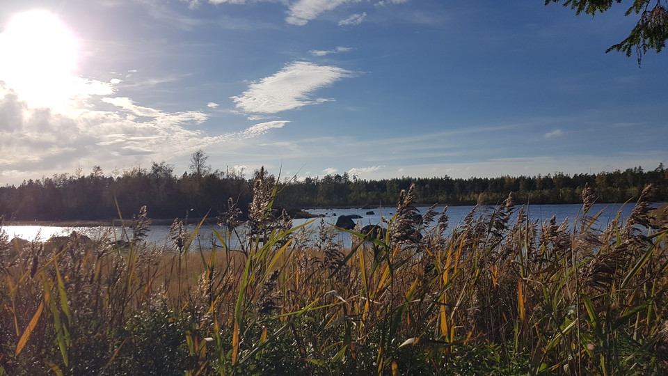
Södra Grytsjön -
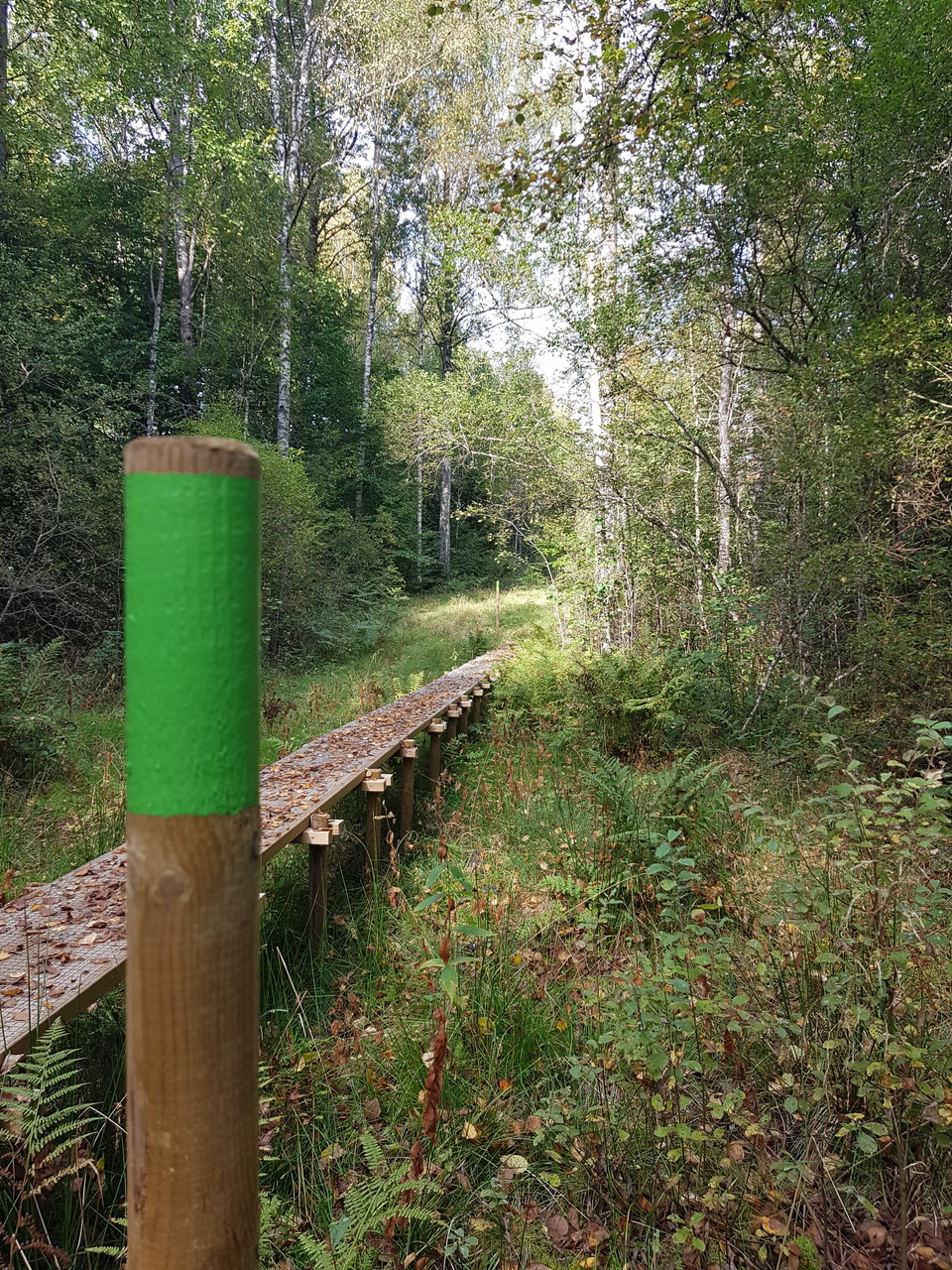
Spång vid Grytelid -
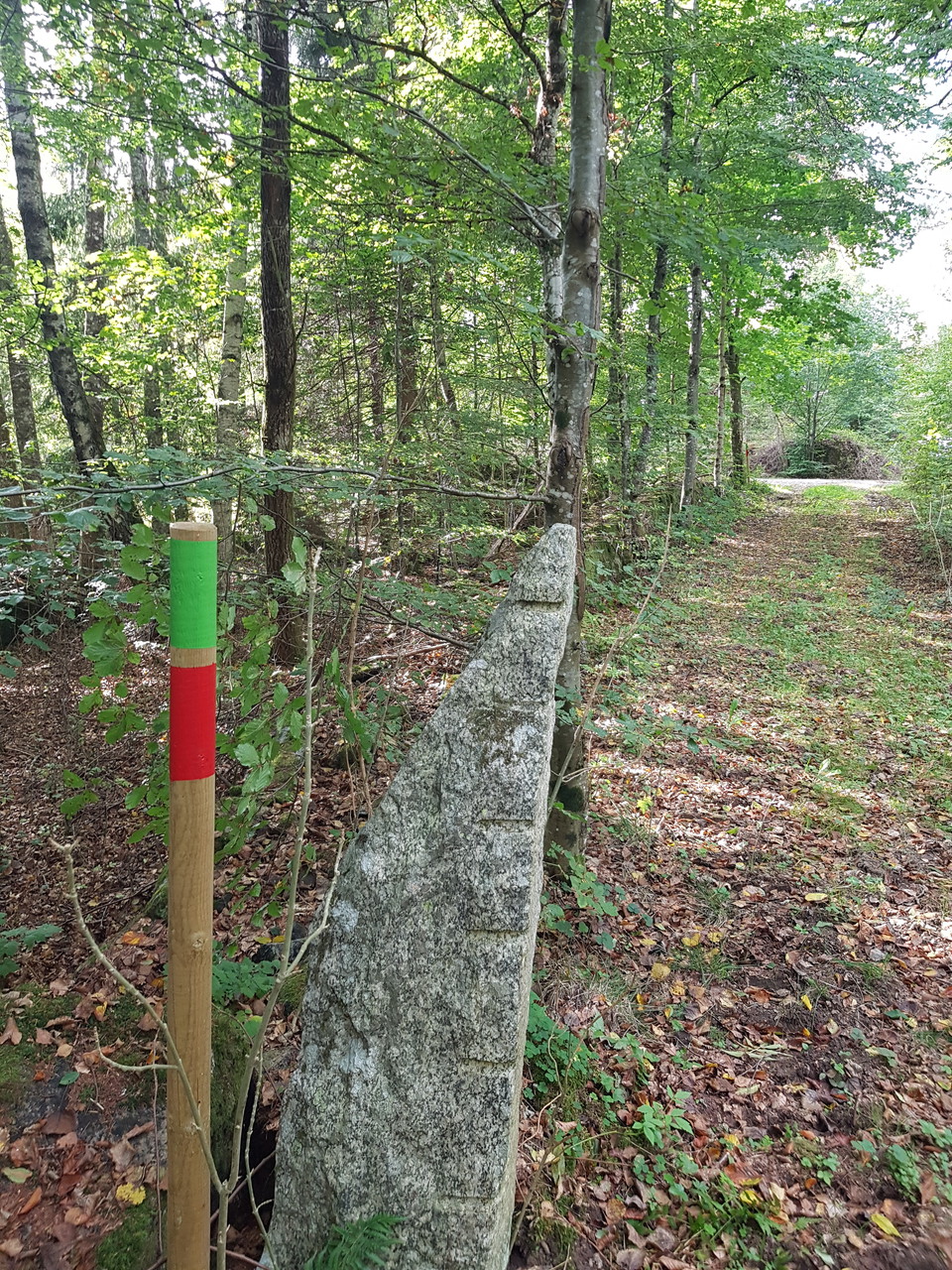
Grytelid -
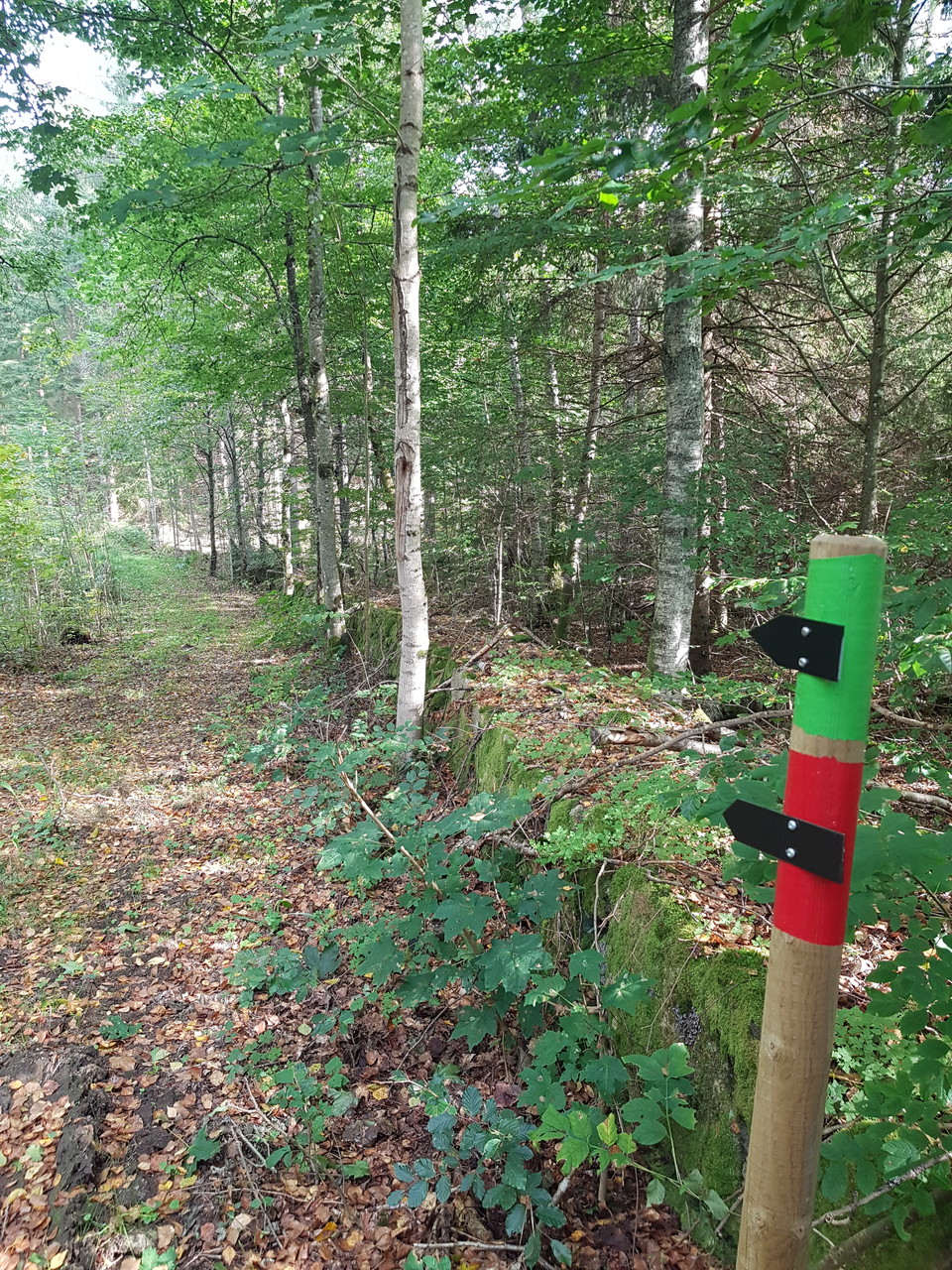
Vy längs leden
Farabols vandringsleder- S Grytsjöleden
- Fotturer
- Fylke: Blekinge län
- 6818.41 km fra deg
Detaljer om stien
- Lengde 13.9 km
- Vanskelighetsgrad Blå - medium
Handlinger
Beskrivelse
This trail starts at Farabol school. Heading west, follow the green marker posts through the gravel pit. The trail runs through forest on gravel roads and paths up to the ”three counties stone” between Blekinge, Småland and Skåne. Along the trail, the walk takes you through different types of woodland from young plantations to ancient, protected forests. Large boulders left behind by the Ice Age.
You will see several ruined crofts dating back to the nineteenth century. The trail follows the lake shoreline, offering great views, Grytelid (old road until the 1930s), Rävabacken (189.65 m MSL) and the site where a B17 bomber crashed in 1944.
Aktiviteter og fasiliteter
- Fotturer
Kontakt
Adresse
0454 - 930 00
E-postadresse
Olofströms kommun
Jeg har vært her 3


Jeg ønsker å dra hit 7

Spørsmål og svar
Still et spørsmål til andre brukere av Naturkartan.
Omtaler
0 anmeldelser
- 5 :
- 4 :
- 3 :
- 2 :
- 1 :
Brukernes bilder
Ingen brukerbilder ennå. Bli den første til å dele!
