
-
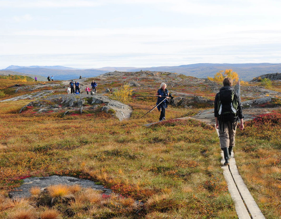
Foto: Tomas Staafjord -
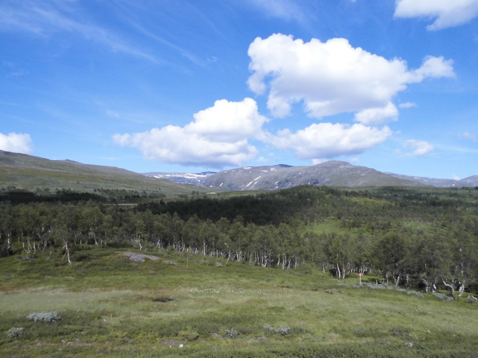
Foto: Mostphotos -
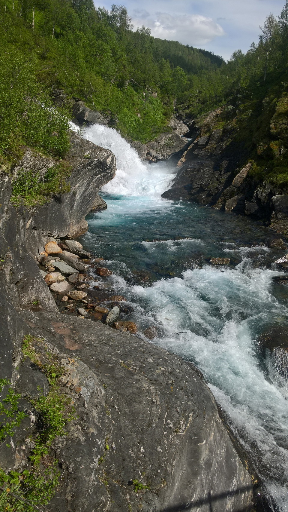
Foto: Mostphotos -
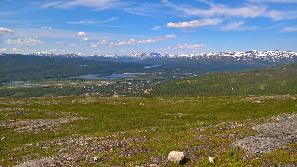
Foto: Mostphotos -
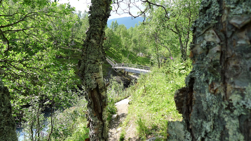
Foto: Mostphotos -
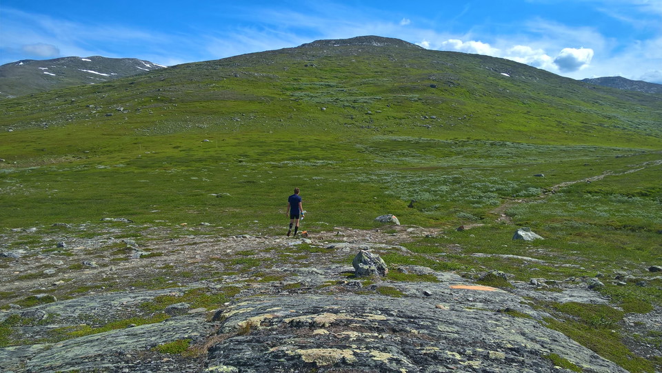
Foto: Mostphotos -
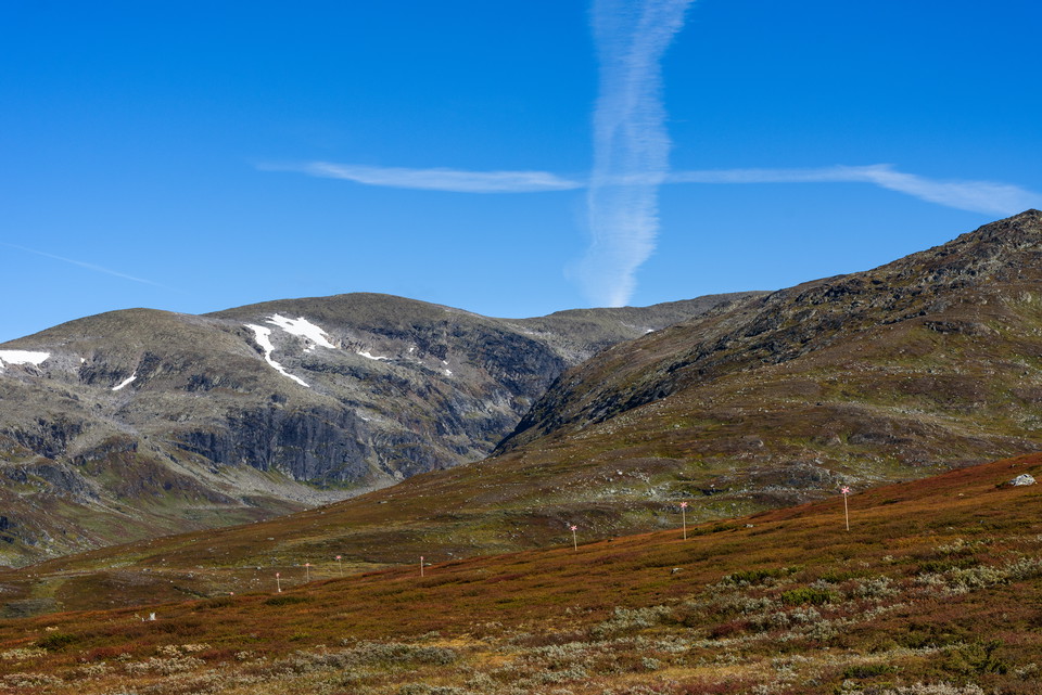
Foto: Mostphotos
Drottningleden, Laisaliden–Hemavan
- Fotturer
- Terrengsykling
- Fylke: Västerbottens län
- 6361.21 km fra deg
Detaljer om stien
- Lengde 9.0 km
- Vanskelighetsgrad Blå - medium
Handlinger
Nåværende
The road to Laisaliden is now passable again
Part of the road that goes to Laisaliden, one of the starting points of the Queen's Trail, was previously completely washed away but has now been restored so much that it is possible to get around again.
Beskrivelse
The trail is relatively easy to walk without sacrificing the mountain feeling, making it suitable for all hikers, young and old. It is also popular to go for a run along the trail. In winter there are ski trails.
From Laisaliden you start at the tree line with a fantastic view of Norwegian peaks and glaciers.
In Hemavan, the trail starts at Naturum and Fjällbotaniska trädgården. At "Beautiful view" a few kilometers up along the King's Trail, the summer trail turns towards Laisaliden. First, the trail goes down to the bridge over Mortsbäckens waterfall, then up on the bare mountain.
If you want a slightly easier start, start at Laisaliden where you almost immediately find yourself up on the bare mountain.
**Cycling
One option is to cycle the trail and then follow the road back. A total distance of about 2 miles. The mountain biking is beautiful, rocky, tricky, in some places quite steep and sometimes you may need to steer the bike. Between Laisaliden and Blå Vägen it is about 4 km. Between the village of Laisholm and Laisaliden there is a steep and curvy paved hill with just over 200 meters of drop in 2 km.
Aktiviteter og fasiliteter
- Terrengsykling
- Fotturer
Kontakt
E-postadresse
Länsstyrelsen Västerbotten
Organisasjonens logotype

Jeg har vært her 44






Jeg ønsker å dra hit 68





Spørsmål og svar
Still et spørsmål til andre brukere av Naturkartan.
Omtaler
0 anmeldelser
- 5 :
- 4 :
- 3 :
- 2 :
- 1 :
Brukernes bilder
Ingen brukerbilder ennå. Bli den første til å dele!
