Beste turstier i Upplands Väsby

Upplands Väsby

Naturkarten samler de turstiene i Upplands Väsby som er mest populære blant våre brukere.

Bilder

Kart

33 Beste turstier i Upplands Väsby

Løping

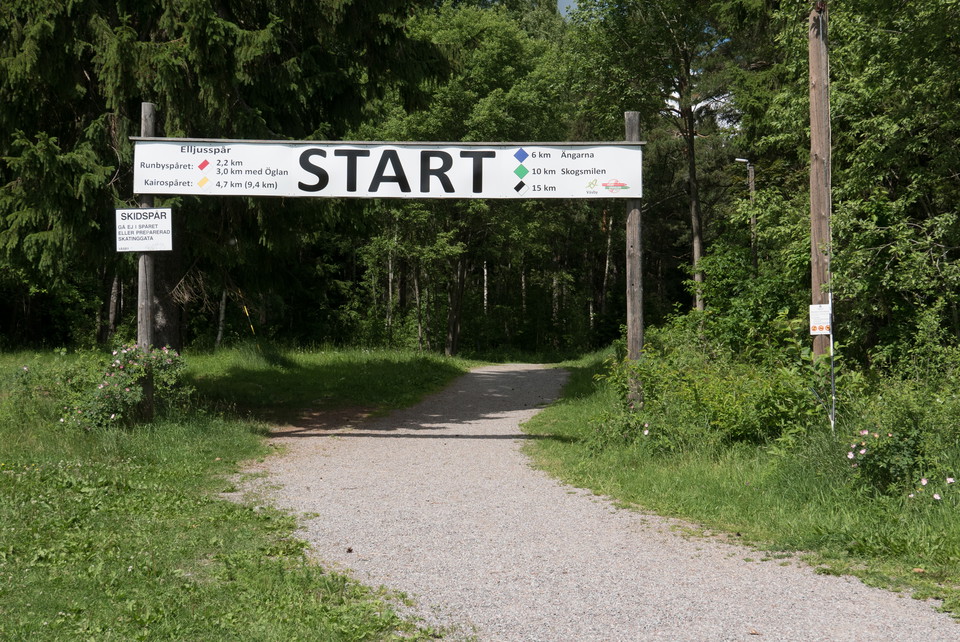
Runbyspåret

  • Kommune: Upplands Väsby
  • 6816.60 km fra deg
  • 2.9 km
  • Vanskelighetsgrad: Grønn

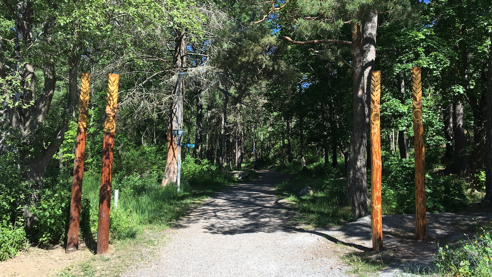
Electric light trail with obstacle course located in beautiful Runbyskogen in western Upplands Väsby. Length: With hill 2.9 km, without hill 2.1 km Marking: red/white Character: Moderate hill with one long hill. The Runby trail can be combined with the Cair…
Løping

Smedbyspåret

  • Kommune: Upplands Väsby
  • 6818.72 km fra deg
  • 1.7 km
  • Vanskelighetsgrad: Grønn

Exercise trail in the forest on Norra berget in Smedby. The trail has several stretches, with a total length of 1.7 km. Length: Outer lap 1.7 km, Western loop 1.1 km, Eastern loop 1.0 km Marking: blue, red/white Character: Varied trail with an occasional he…

Løping

Brunnby Vikspåret

  • Kommune: Upplands Väsby
  • 6819.34 km fra deg
  • 1.75 km
  • Vanskelighetsgrad: Grønn

Exercise trail of 1.75 km with slightly hilly terrain. The trail is illuminated in the evening. Length: 1.75 km Marking: yellow/white Characteristics: Easy trail with some hills. Other Here you can also discover ancient remains and see fallow deer if you co…

Fotturer

Emmylundsmossestigen, 3 km

  • Kommune: Upplands Väsby
  • 6823.05 km fra deg
  • 2.9 km

A 3 kilometer long trail that goes through several different habitats, including arable land, pasture land, mixed forest, rocky pine forest and past Emmylundsmossen.

Fotturer

Hällmarksslingan, 1,5 km

  • Kommune: Upplands Väsby
  • 6823.38 km fra deg
  • 1.5 km

A 1.5 kilometer long trail that goes over rocky areas and past one of the Törnskogen bogs.

Fotturer

Långbroleden

  • Kommune: Upplands Väsby
  • 6823.82 km fra deg
  • 3.9 km

You can easily get into the reserve by following the Långbro trail from Fornboda, which runs through fields and pastures, and continues down to Lake Snuggan in Södra Törnskogen Nature Reserve. The Långbroleden, a very old road whose potholes and banks sugge…

Fotturer

Övriga stigar

  • Kommune: Upplands Väsby
  • 6822.74 km fra deg
  • 2.6 km

These paths are not marked in the field. It may therefore be useful to take a map with you.

Gå

Fornslingan vid Gunnes gård

  • Kommune: Upplands Väsby
  • 6818.50 km fra deg
  • 2.1 km
  • Vanskelighetsgrad: Blå

Along the Fornslingan at Vikingagården Gunnes gård you follow the two farms Smedby and Vilunda through history. The farms date back to the Late Iron Age. The heritage trail starts in the lower zoo below Gunnes gård. Follow the white color markings to find y…

Fotturer

Upplevelsestråket - Ed- 4.6 km

  • Kommune: Upplands Väsby
  • 6815.94 km fra deg
  • 4.6 km

With Upplevelsestråket you can get close to nature and experiences in the municipality in an easy way. The trail runs along the old waterways between Saltsjön and Mälaren, which were already used for transportation in Viking times. The route is divided into…

Fotturer

Upplevelsestråket - Edssjön runt - 10.7 km

  • Kommune: Upplands Väsby
  • 6817.15 km fra deg
  • 10.7 km

With Upplevelsestråket you can get close to nature and experiences in the municipality in an easy way. The trail runs along the old waterways between Saltsjön and Mälaren, which were already used for transportation in Viking times. The route is divided into…

Fotturer

Abborrestigen

  • Kommune: Upplands Väsby
  • 6816.31 km fra deg
  • 2.7 km

A nature trail that runs from Fysingenbadet to Abborrberget and back. The path runs in flat terrain where, just after the path begins, you pass the very species-rich hay meadow Calmare Hage where, in the latter part of April, you can see the wood anemone. T…

Pilegrimsrute

Ingegerdsleden. Etapp 3, (1/2). Eds kyrka - Hammarby kyrka

  • Kommune: Upplands Väsby
  • 6817.09 km fra deg
  • 7.1 km

HAMMARBY CHURCH The road to the source of life. If we, like Nils Holgersson, could see the landscape from a goose's back, we would see a grid of lines running north-south through the castle grounds above Stora Väsby Castle. These are the travel routes of di…

Fotturer

Vandringsstig, Vallensjö

  • Kommune: Upplands Väsby
  • 6821.90 km fra deg
  • 2.0 km

A hiking trail from the parking lot, as well as a trail loop around the Vallensjö nature reserve.

Beste turstier i Upplands Väsby

Naturkarten samler de turstiene i Upplands Väsby som er mest populære blant våre brukere.

Naturkartan

Åpne dette i appen