Hälsans stig - Säffle
- Kommune: Säffle
- 6592.77 km fra deg
- 6.7 km
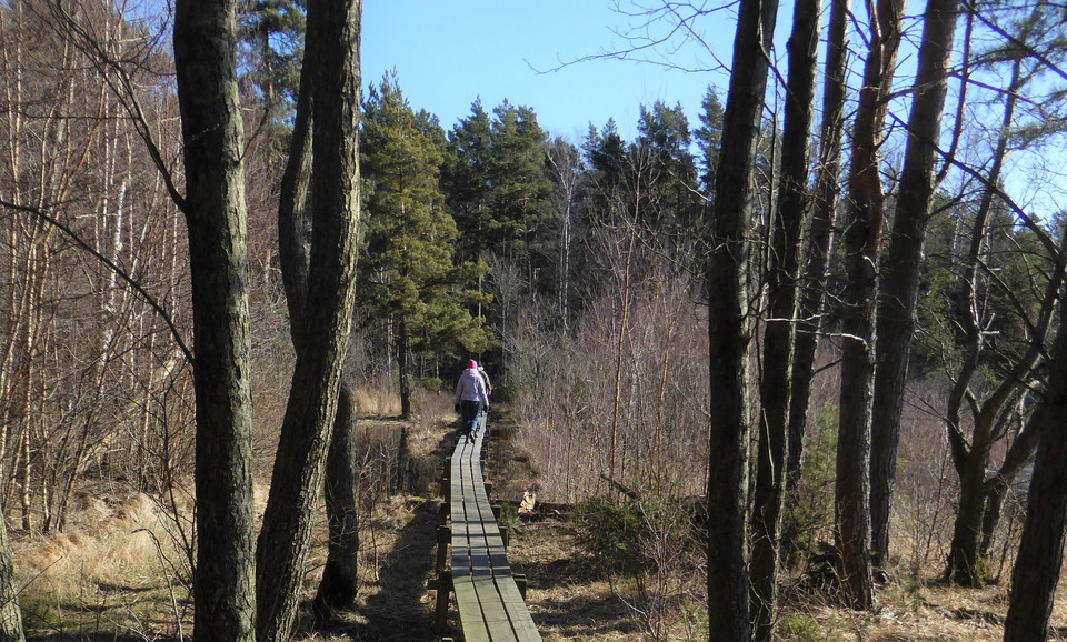
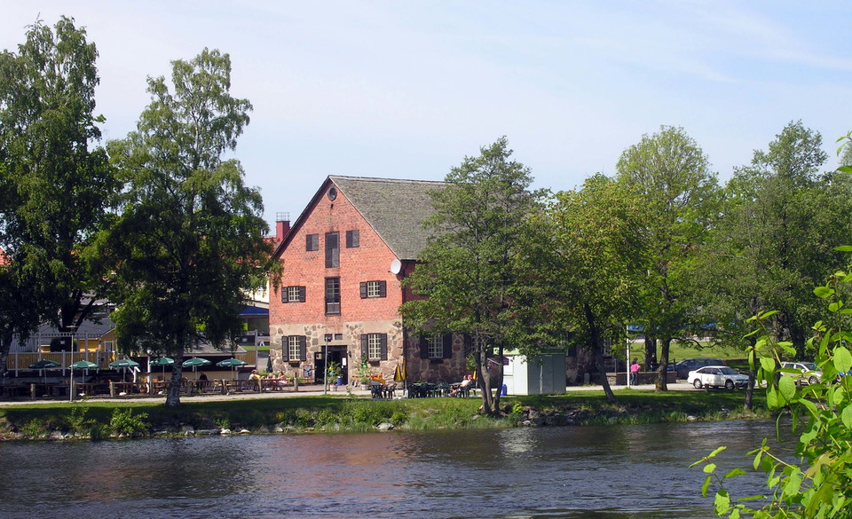
Along the walk we pass Knusesund Manor, Stenmagasinet, the old water tower etc.

Säffle
Naturkarten samler de turstiene i Säffle som er mest populære blant våre brukere.
Along the walk we pass Knusesund Manor, Stenmagasinet, the old water tower etc.
The hiking trail goes up between steep rocks to the top of Ulvfjället. Through the sparse rocky pine forest at the top, it opens up to wide views of the surrounding areas. Orange markings
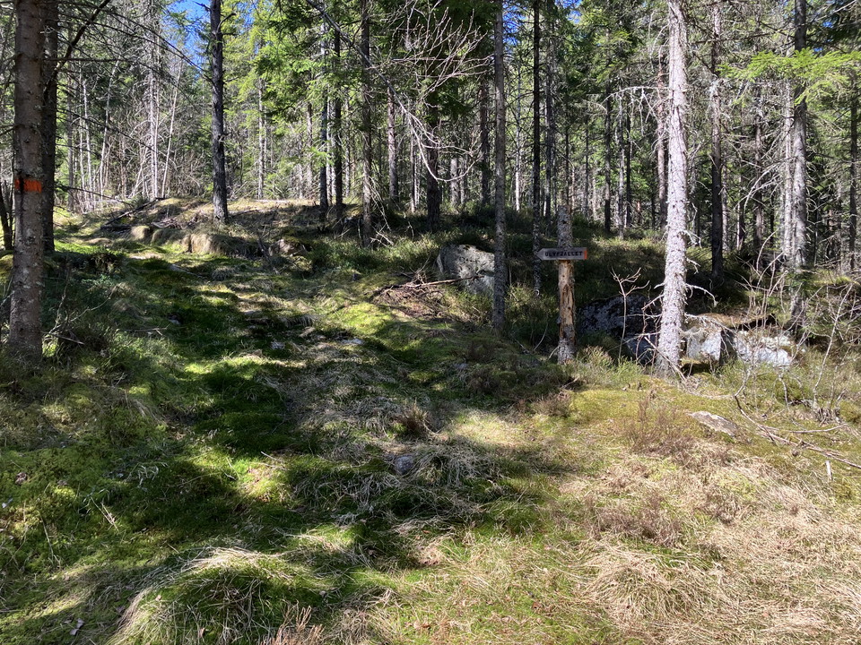
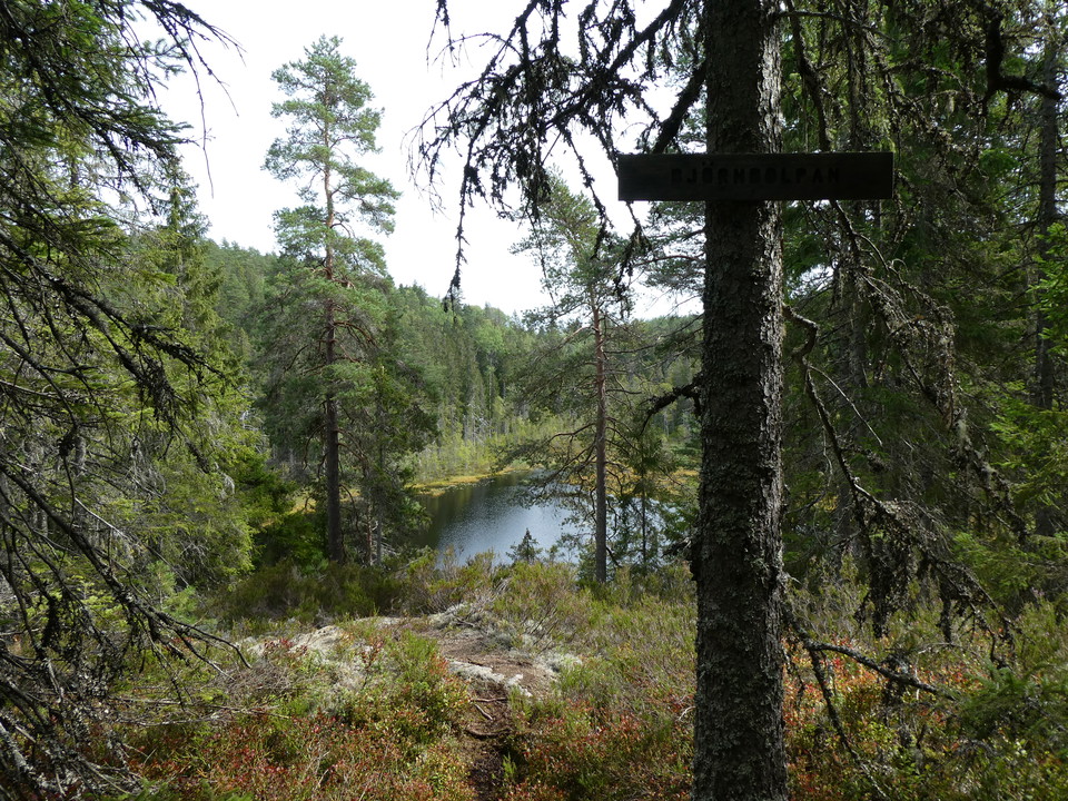
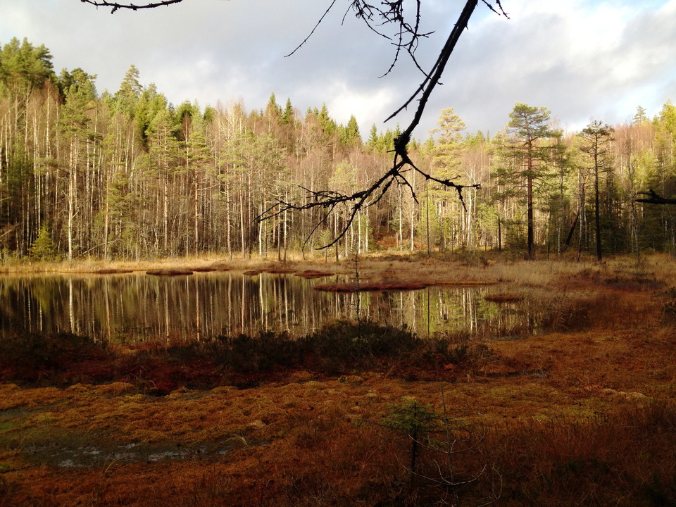
Segoltorpshöjden's short trail winds up and down in the hilly forest landscape around Björndolpan, where closed spruce forest alternates with views of small lakes and glades with coarse aspens. It is quite hilly in parts and you pass some bogs where you nee…
Segoltorpshöjden's long trail winds through a hilly forest landscape where closed spruce forest alternates with views of small lakes and glades with large aspens. It is quite hilly in parts and you pass some bogs where you need waterproof boots or boots to…
The hiking trail starts with a long uphill drive through managed forest before reaching the nature reserve, but the approach is worth the effort. Once inside the nature reserve, a nice trail leads around Gillertjärnen itself, which lies like an eye in the d…
Marked path from the piers to the cottage at Vithall. The surface is rocky and uneven in places. Orange color markings on stones / slabs
Marked path from Lillegohamn to Krogträdgården on Norra Hökön. Winding and somewhat uneven ground. Orange color markings on trees and stones
Relatively easy hiking trails in beautiful archipelago nature. From Stenstaka you can walk both north, up on Korsön, and east along Maren and towards Tegelbruksängen and Skolan. Orange marks on trees or rocks
Welcome to the southern tip of Värmland, Ekenäs. Here is a nice and easy-to-walk trail that extends around the cape Ladholmen. The trail starts at Ekenäs camping. The first part of the trail to Ladholmen is very easy to walk with footbridges and even surfac…
Naturkarten samler de turstiene i Säffle som er mest populære blant våre brukere.