Döda fallet Naturstig och ramp
- Kommune: Ragunda
- 6560.13 km fra deg
- 3.5 km
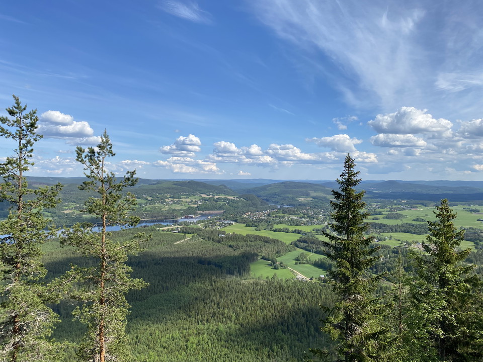
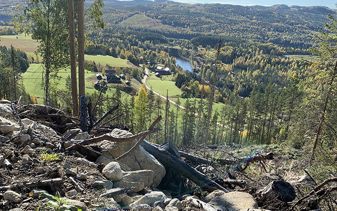
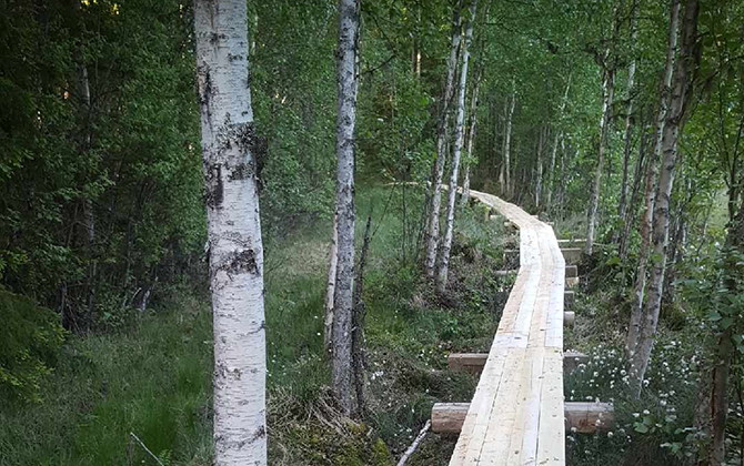
Here you can both hike and admire the cool environment at the Dead Fall. Parts of the route are adapted for the disabled.

Ragunda
Naturkarten samler de turstiene i Ragunda som er mest populære blant våre brukere.

Here you can both hike and admire the cool environment at the Dead Fall. Parts of the route are adapted for the disabled.
Vättaberget is the mountain you see when you cross the Indalsälven into Hammarstrand and which is called "Elephant Mountain" in the vernacular as it looks like a lying elephant. You can walk the trail up to the top and then get a nice view of the valley! Th…
The Stuguberg trail starts and ends at the homestead. Once at the top, you are treated to a fantastic view of the Stugu area! Stugubergsleden starts and ends at the homestead. The trail goes via the ski stadium, Jannebodarna, telemasten, Lilla Stuguberget,…
The promenade is the first part of a trail that stretches from Naturcampingen in Krångede to the top of Stadsberget. The second part runs from Nabben to the top of Stadsberget. Part 1: The beach walk The trail starts at Krångede Naturcamping and goes to Nab…
Follow the ridge of Kullstaberget and enjoy beautiful views and don't miss Hammarstrand's own "Hollywood sign"! The trail starts at the foot of the slalom slope and takes you up Kullstaberget, via the toboggan run, on a nice gravel road. (The toboggan run i…
From the old market place "Plassen" in Pålgård, the trail starts that takes you to the rest area at Hannmyrkullen and there you hike a stretch on the old Pilgrim Trail. You start at Plassen, the old market place in Pålgård and hike east in easy terrain, aft…
Walk a short stretch of the Pilgrim Trail from Krångede Power Station Museum to Stordalen. Starting point: Krångede museum. Follow the red markings. Along the trail there is, among other things, a mile cabbe and a fjärdingskabbe which are old distance marks…
Walk a nice forest trail to Kullsta fäbodar. Take a much-needed break at the pasture. There is a shelter and the opportunity to grill. This trail is our longest and is a nice day trip or two-day hike. The trail starts in central Hammarstrand and you walk th…
The trail goes through the forest and then arrives where the Ammer River flows into the Indals River. There are some passages that require a little attention, but otherwise the trail is easy to walk. This is not to be missed! There is graffiti under the bri…
Walk the Blåhällberget trail and be rewarded at the end with a fantastic view of the river valley. This is not to be missed! Different rock types from porous red rock to granite.
As you walk the Geology Trail, you pass the different types of soil that together form a typical Norrland river valley. You will also have the opportunity to see how the distribution of the soil types controls the vegetation. See brochure available at the s…
Järåstigen takes you to the beautiful waterfall Byforsen and the flower meadows overlooking the Indalsälven. See also the brochure at the start! Follow the red markings. The hike begins with a walk along the road with the birch grove, crosses road 86 and fo…
An easy to follow trail along the village road and an old track. The trail starts by following the road over the old Ammerå bridge. You pass the entrance to Ammeråns fishing camp and turn right towards Staffanstorp and the shooting range. You continue on an…
A trail around Lake Borgsjön that passes several wetlands and high-heeled shoes is recommended! The trail goes around Lake Borgsjön. Passes several wetlands where high-heeled shoes are recommended. Much of the route is on a very low-traffic gravel road, and…
Follow the red marking.
Naturkarten samler de turstiene i Ragunda som er mest populære blant våre brukere.