Länsstyrelsen i Hallands län
Guide till naturreservat i Hallands län

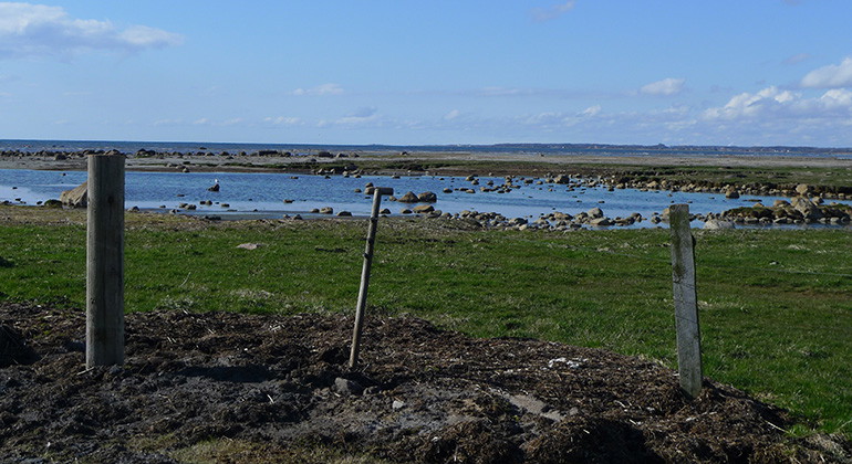
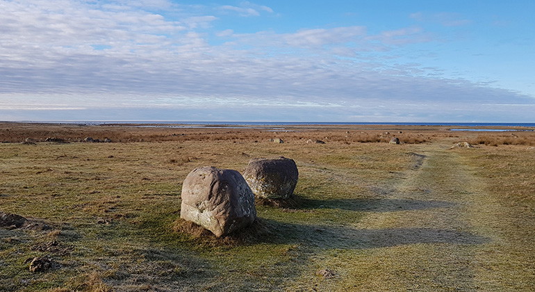
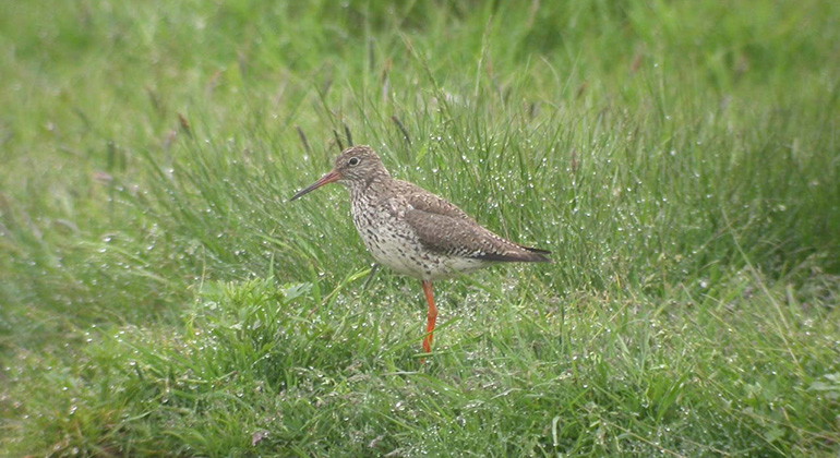
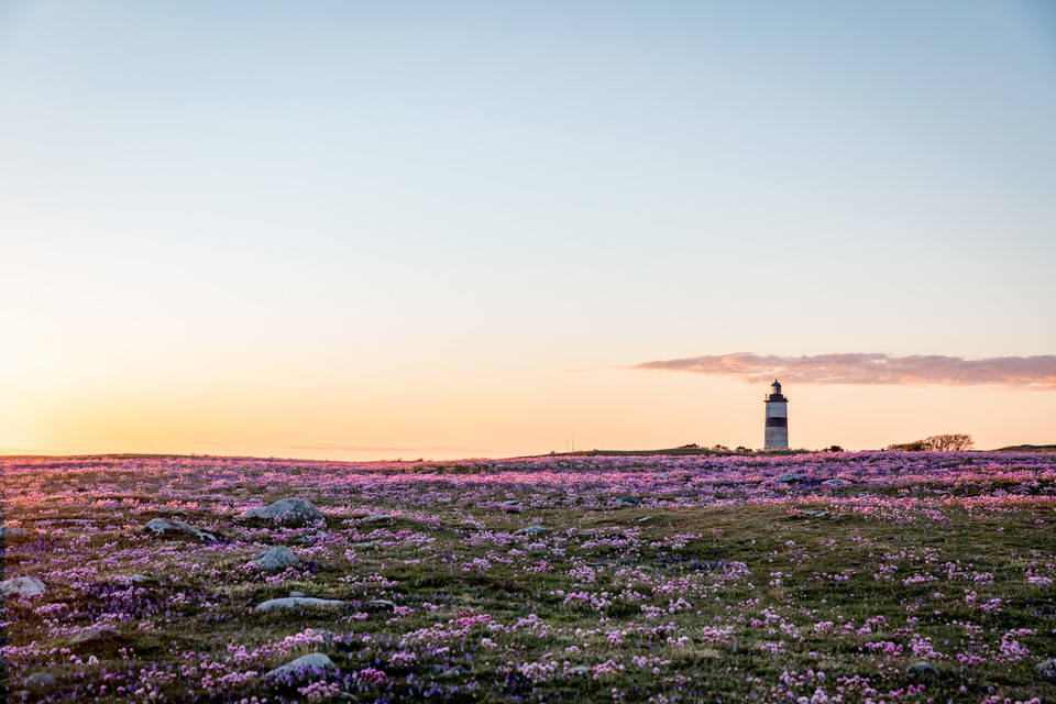
The Sik nature reserve consists of flat grazed coastal meadows and a large marine area. Shallow bottoms offer important food and form the basis for a rich bird life together with fine nesting opportunities on the beach meadows.
Whitefish is part of a long stretch of coastline along the Halland coast that is very important for waders, ducks and terns. In order for them to nest and forage undisturbed, there are restrictions for the public to stay in the area and bring dogs. However, from the parking lot and along a small path, it is possible to view the coastal area.
The area at Sik consists of marine parts and land parts of sandy beach,
seashore meadow and fields where the priority conservation values are a rich
bird life, shallow soft bottoms and reefs, and seashore meadow vegetation. Breeding birds in the area include shoveler, oystercatcher, gadwall, avocet, greater sandpiper, lapwing, redshank, little tern and sandwich tern. The area is unexploited and of particular importance are clay and sandy bottoms that are exposed at low tide, as well as boulder and stone bottoms covered with macroalgae. Examples of fish species that occur in the area are Arctic charr, stone charr, walleye, sprat and cod.
The area is part of a Natura 2000 site and Ramsar site due to its high value as a breeding and resting site. The water area is valuable for resting and wintering birds, as the shallow seabed contains important food resources in the form of fish, mussels and other invertebrates such as bristle worms.
The natural values of the area can be damaged by disturbance to birdlife from outdoor activities.
The most important measures to preserve and develop the natural values are to protect
birds from disturbance, protect the marine environments and maintain
grazing and creating more small waters. As a result, there are some restrictions for the public in the area.
Dominant habitat types: Sea (1322 ha) and pasture (72 ha)
Municipality: Varberg and Falkenberg
Area: 1394 hectares
Protected since: 2022
Owners: private, municipal and public water
Manager: County Administrative Board
Other: The area is part of a
Natura 2000 site and Ramsar site due to its high value as a
nesting and resting place.
By bike: The area can be reached by bike via Kattegattsleden.By car: From the E6, you can either take the exit at Morup (52) after which you drive towards the coast and turn north or take the exit at Tvååker (53) after which you drive towards the coast and then turn south. There is a parking lot on the east side of the road.
To protect the nature reserve, the County Administrative Board has decided on special regulations, including those that you as a visitor to the area must follow and respect.
In addition to what applies under other legislation, it is forbidden to:
Kontakta reservatsförvaltningen för frågor, synpunkter och felanmälan.
Länsstyrelsen i Hallands län
Still et spørsmål til andre brukere av Naturkartan.
0 anmeldelser
Ingen brukerbilder ennå. Bli den første til å dele!