
-
-
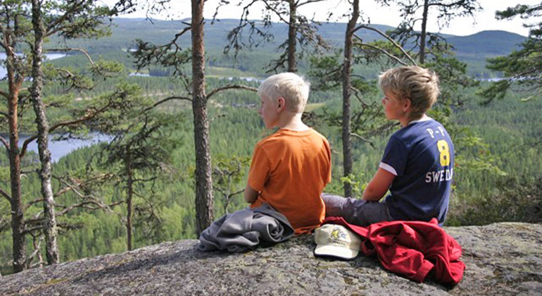
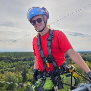
Foto: Länsstyrelsen Dalarna -
-
-
-
-
Våckelberget och Våckelbergets skogar
- Naturreservat
- Parkering i nærheten
- Fylke: Dalarnas län
Handlinger
Nåværende
It is currently very difficult to get around in the area. Due to the storm Johannes, there are many trees over the trail and it may take some time until it is fixed. We advise against visits until further notice.
Beskrivelse
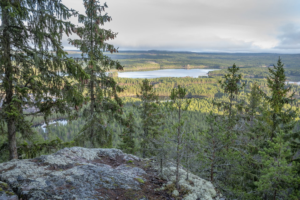
Våckelberget, north of Enviken, is known for its mountainside and miles of views and has long been a state nature reserve. Thanks to Falu municipality, the protected area on the mountain was expanded when the Våckelberget municipal nature reserve was established. The original state reserve, Våckelberget, is now surrounded to the north and south by the municipal nature reserve.
View and biological values
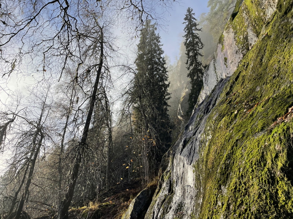
For many people, it is the view from the crest of Våckelberget's cliff that attracts them. The slope is a so-called south-facing mountain, which is a steep mountain that has a side facing south, east or west. The sun-warmed rocks store heat and provide a favorable climate for heat-loving plants and animals, especially in spring and autumn. Here, on the slopes of Våckelberget, you can find lime, maple and hazel, musk madder, stinkweed, horsetail and kingcup. All these species are more common further south in the country and may not even be found near Våckelberget otherwise. Why is that? They have remained here after a warmer period long, long ago. Thanks to the mountain's heat storage, a climate is formed that allows these plants to survive on the slopes.
In addition to the warmth of the rock, there's another thing that makes it favorable to grow here: the nutrient supply is also good. As nutrient-rich water trickles down the slope, it simply becomes like a small greenhouse here, with built-in nutrient-rich irrigation!
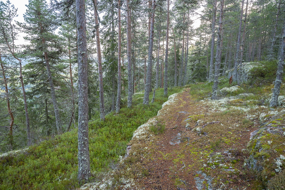
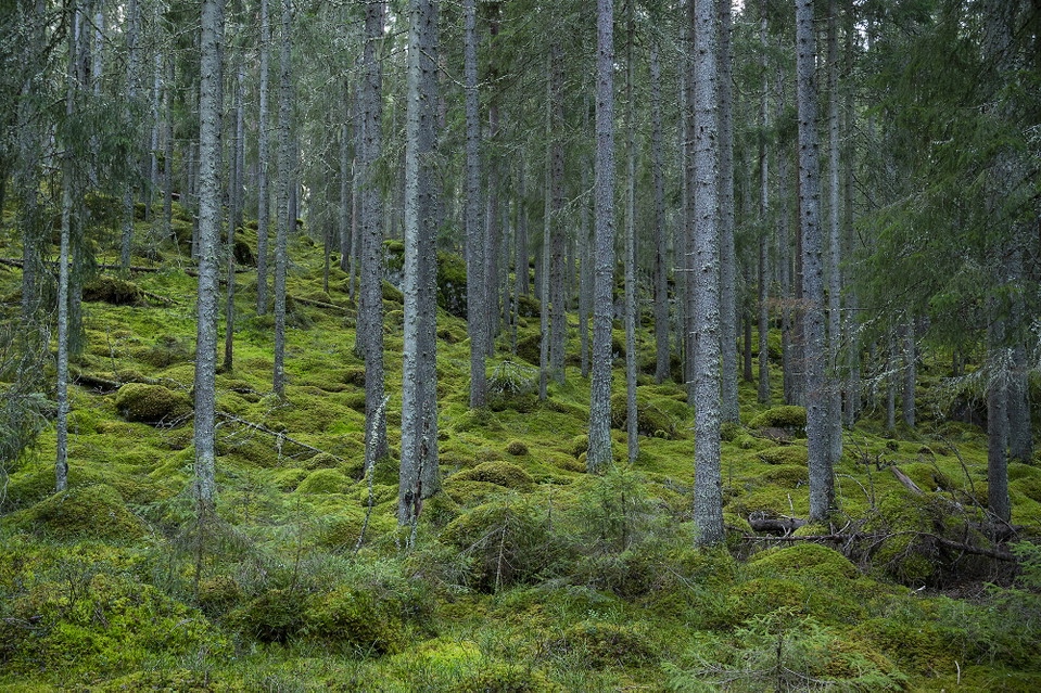
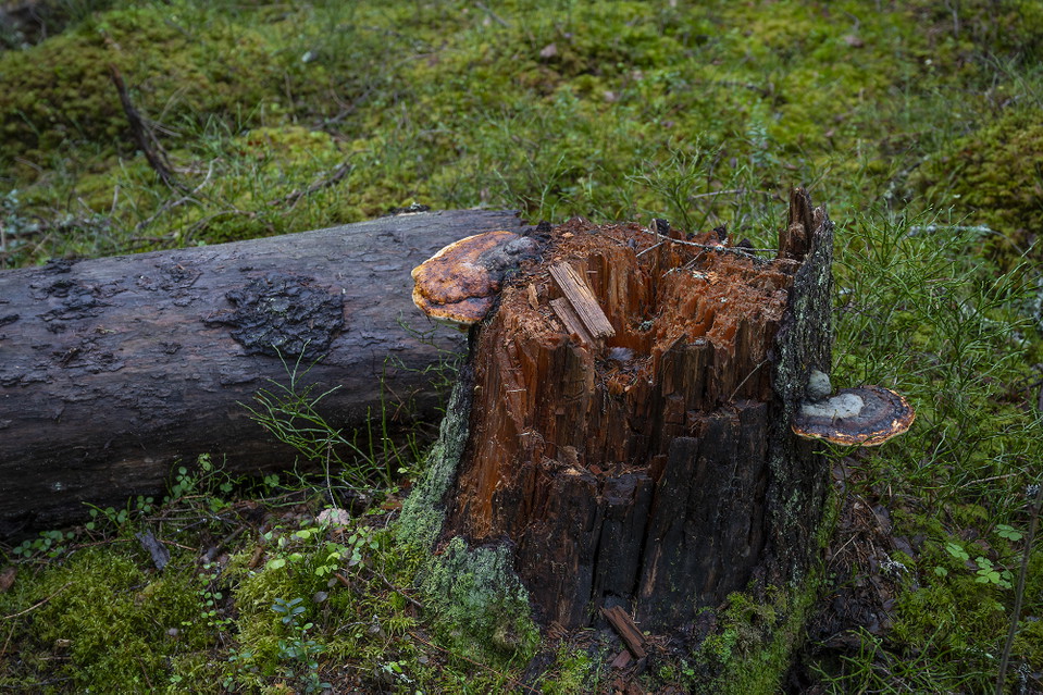
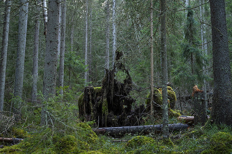
The forests have high biological values and here you will find habitats and plant and animal life that are unusual for the area. In the northern part, there is old spruce forest that is older than 120 years, parts with old pine, rocky areas with steep slopes, herb-rich wetlands and more. The southern part of the area is different, here it is mostly older pine forest with elements of spruce and various deciduous trees. The area is blocky, sometimes so much so that no trees can grow there.
Traces of man
Within the nature reserve there are also traces of man, here there has been both mining and tar production. The name Våckelberget also suggests that there has been a springhouse here. Spring barrows were once used to warn of danger by lighting bonfires that could be seen from a distance. According to stories, the spring cairn was located in the southern part of the reserve.
Resting place
At the southern end of the hiking trail there is a rest area with the possibility of barbecuing. **Please note that there is no wood storage at the rest area itself. If you want to grill, there is firewood to carry from a wood store located by the path just south of the upper parking lot.
Aktiviteter og fasiliteter
- Naturreservat
Tilgjengelighet
- Parkering i nærheten
Parkering
There are two parking lots, one at the bottom of the reserve and one on the mountain at a turnaround, next to the reserve. From the lower parking lot, a very steep path leads up Våckelberget. From the upper parking lot you are led directly into the Våckelberget forest reserve.
Kommunikasjon
There is a bus stop at Balungstrand sawmill. The lower parking lot and the path up to Våckelberget are about 800 meters north of the bus stop.
Veibeskrivelse
Drive highway 50 north from Enviken. Pass Balungstrand sawmill. After about 500 meters, the lower parking lot is on the left. If you don't want to walk all the way up to Våckelberget, you can continue another 600 meters along the road and turn left onto the next gravel road. Follow the road to its end and park at the turnaround. At the turnaround there is a marked path leading into the reserve.
Forskrifter
Below are the rules that apply to visitors in the area, both for the state reserve and for the municipal reserve.
Map with boundaries for both reserves. Pdf, 1.6 MB
In the state reserve it is not allowed to...
- damage rocks and boulders, for example by chiseling, drilling and hacking
- damage growing or dead - standing or fallen - trees, stumps and bushes,
- driving a motorized vehicle on the terrain, both on bare ground and on snow-covered ground
- make fires
- rock climbing, with the exception of climbing on ice, which is permitted from December 1 to February 28 inclusive
- during the period from March 1 to July 31, enter the mountain slopes and adjacent areas marked on the regulatory map. Map showing area with access ban for parts of the year Pdf, 1.6 MB
In the municipal reserve it is not allowed to...
- damage boulders and rocks, e.g. by chiseling, drilling and hacking,
- damage growing or dead - standing or fallen - trees, stumps and bushes, with the following exceptions:
- collecting loose, small, dry branches and twigs for the purpose of making a fire
- driving a motorized vehicle on the terrain, both on bare ground and snow-covered ground
- making fires outside the fireplace provided by the manager,
In both reserves it is also forbidden to make fires without the permission of the county administrative board or municipality:
- digging up plants, picking mosses, lichens and wood-living fungi or collecting animals (e.g. insects),
- holding or conducting competitions, camps and other major or recurrent organized events.
Kontakt
E-postadresse
Kontaktcenter Falu kommun
Organisasjonens logotype

Jeg har vært her 5




Jeg ønsker å dra hit 14

Spørsmål og svar
Still et spørsmål til andre brukere av Naturkartan.
Omtaler
0 anmeldelser
- 5 :
- 4 :
- 3 :
- 2 :
- 1 :
Brukernes bilder
Ingen brukerbilder ennå. Bli den første til å dele!
