Gå

Skåne län

Bilder

Kart

47 Gå

Gå

Kustslingan Skummeslövsstrand - Båstad

  • Kommune: Båstad
  • 6731.56 km fra deg
  • 12.0 km
  • Vanskelighetsgrad: Blå

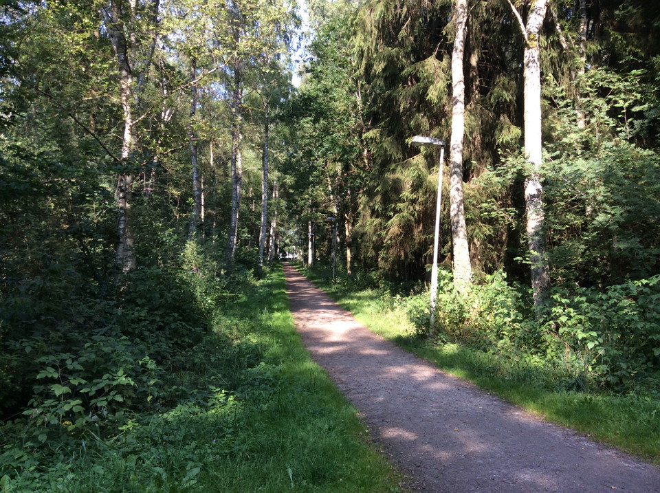
Fantastic loop that goes both through forest and by the sea. Along the loop on the Båstad side there is an outdoor gym. About 12 km long. The loop is also adapted for trail running. Further down the page there is a link to Trailrunning Sweden and more infor…
Gå

Tivolirundan

  • Kommune: Kristianstad
  • 6822.65 km fra deg
  • 1.8 km
  • Vanskelighetsgrad: Grønn

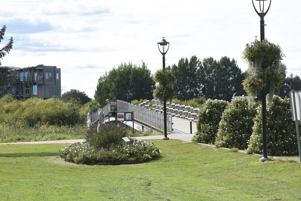
**This 1.8 km walk takes you along the banks of the River Helgeån and the lush greenery of Tivoli Park. In winter, otters tickle along on the ice and in summer the brown marsh harrier hunts for water voles in the reeds. ** Start from the visitor center and…

Gå

Vaxsjöslingan, vandring, Höör

  • Kommune: Höör
  • 6792.02 km fra deg
  • 2.9 km

Vaxsjöslingan in Höör is marked in red and is 2.9 kilometers long. The loop runs through beautiful beech forest and pastures, passing by the bathing area and fishing piers. The surface is hardened gravel that is well suited for wheeled vehicles. As the loop…

Gå

Orup - blå slinga

  • Kommune: Höör
  • 6796.21 km fra deg
  • 1.7 km
  • Vanskelighetsgrad: Grønn

På Orupsberget hittar du vacker natur och spännande spår av äldre tider. Det finns gravhögar och övergivna gårdstomter gömda i grönskan. Högst upp på krönet tronar Orups gamla sanatorium. I Orups strövområde finns en mountainbikebana och fem strövslingor av…

Gå

Orup strövområde, röd slinga, Höör

  • Kommune: Höör
  • 6795.95 km fra deg
  • 2.8 km

Röd slinga, 2.8 kilometer: Naturslinga. Start från Sätoftaskolan och Orups sjukhus. På Orupsberget hittar du vacker natur och spännande spår av äldre tider. Det finns gravhögar och övergivna gårdstomter gömda i grönskan. Högst upp på krönet tronar Orups gam…

Gå

Gylsbodaslingan

  • Kommune: Osby
  • 6814.68 km fra deg
  • 1.6 km
  • Vanskelighetsgrad: Grønn

Starting at Sliperiet, you can take an easily accessible walk of about 1.5 km. Along the way there are signs about Gylsboda's cultural history. Walk towards the railroad and across it. Barely 100 meters up to the left along the road at the old quarry. Then…

Gå

Fogdarödsslingan, vandring, Höör

  • Kommune: Höör
  • 6797.13 km fra deg
  • 5.0 km

In Fogdarödsskogen there is a marked loop of five kilometers. You can easily get around on it both by walking and running. The trail starts at the parking lot and is marked with distance and reflective signs. In addition to the marked loop, there are also a…

Gå

Orup strövområde, vit slinga, Höör

  • Kommune: Höör
  • 6796.47 km fra deg
  • 0.8 km

On Orupsberget you will find beautiful nature and exciting traces of older times. There are burial mounds and abandoned farm plots hidden in the greenery. At the top of the hill is the old Orup sanatorium. Orup's hiking area has a mountain bike track and fi…

Gå

Orup strövområde, gul slinga, Höör

  • Kommune: Höör
  • 6795.73 km fra deg
  • 5.1 km

Yellow trail , 5.1 kilometers: Nature trail but also runs along the footpath and cycle path and passes the bus stop at Orup hospital. On Orupsberget you will find beautiful nature and exciting traces of older times. There are burial mounds and abandoned far…

Gå

Orup strövområde, asfaltslinga, Höör

  • Kommune: Höör
  • 6795.99 km fra deg
  • 0.8 km

Asphalt loop, 0.8 kilometer: Suitable loop for those who need a smooth surface and not too many slopes. Only start at Orup hospital. Follow the asphalt from the information board. On Orupsberget you will find beautiful nature and exciting traces of older ti…

Gå

Karpalundsstigen

  • Kommune: Kristianstad
  • 6818.53 km fra deg
  • 0.4 km

A path that leads to the Karpalund ponds and the small wooden house hiding in the reeds, a hiding place to get closer to the birds.

Naturkartan

Åpne dette i appen