Kulturelt miljø

Örebro län

Bilder

Kart

36 Kulturelt miljø

Kulturelt miljø

Ramundeboda Klosterruin

  • Kommune: Laxå
  • 6682.85 km fra deg

At Lake Borasjön on the E20 motorway, 4 km west of Laxå, you can find the remains of a Antonite monastery, which was built at the end of the 13th century. Ramundeboda is also the original place where the Ramundeboda Church stood, which later moved to Laxå.…

Kulturelt miljø

Stjernsunds slottspark

  • Kommune: Askersund
  • 6709.10 km fra deg

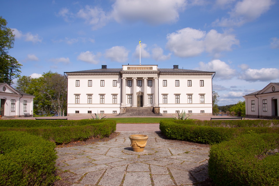
The castle park is open all year round. In the park there is an orangery with exhibitions in summer. Stjernsund Castle is beautifully situated on a headland in Alsen, just south of Askersund. It is considered one of Sweden's most beautiful castles with wate…

Kulturelt miljø

Tryggeboda

  • Kommune: Lekeberg
  • 6674.14 km fra deg

Tryggeboda village is one of the few larger villages in Kilsbergen that did not grow up around a smelting site, but where the farming conditions were crucial. North of the village there is a large limestone quarry (limestone), which has been important for t…

Kulturelt miljø

Getaryggen

  • Kommune: Laxå
  • 6696.89 km fra deg

At Bosjön, the trail goes up on the crest of a small gravel ridge called Getaryggen. Like all pebble ridges, it is formed by an ice river at the edge of the ice sheet. Unlike lower ridges, this one is deposited above sea level and has therefore not been sub…

Kulturelt miljø

Trehörningens masugn

  • Kommune: Askersund
  • 6720.37 km fra deg

Trehörning's blast furnace is located in Mariedamm east of Askersund and is a reminder of the former iron processing in the area. Lerbäck has been known as a mining area since the 1320s when the first mines and smelters were established. The first blast fur…

Kulturelt miljø

Igelbäckens masugn

  • Kommune: Askersund
  • 6705.35 km fra deg

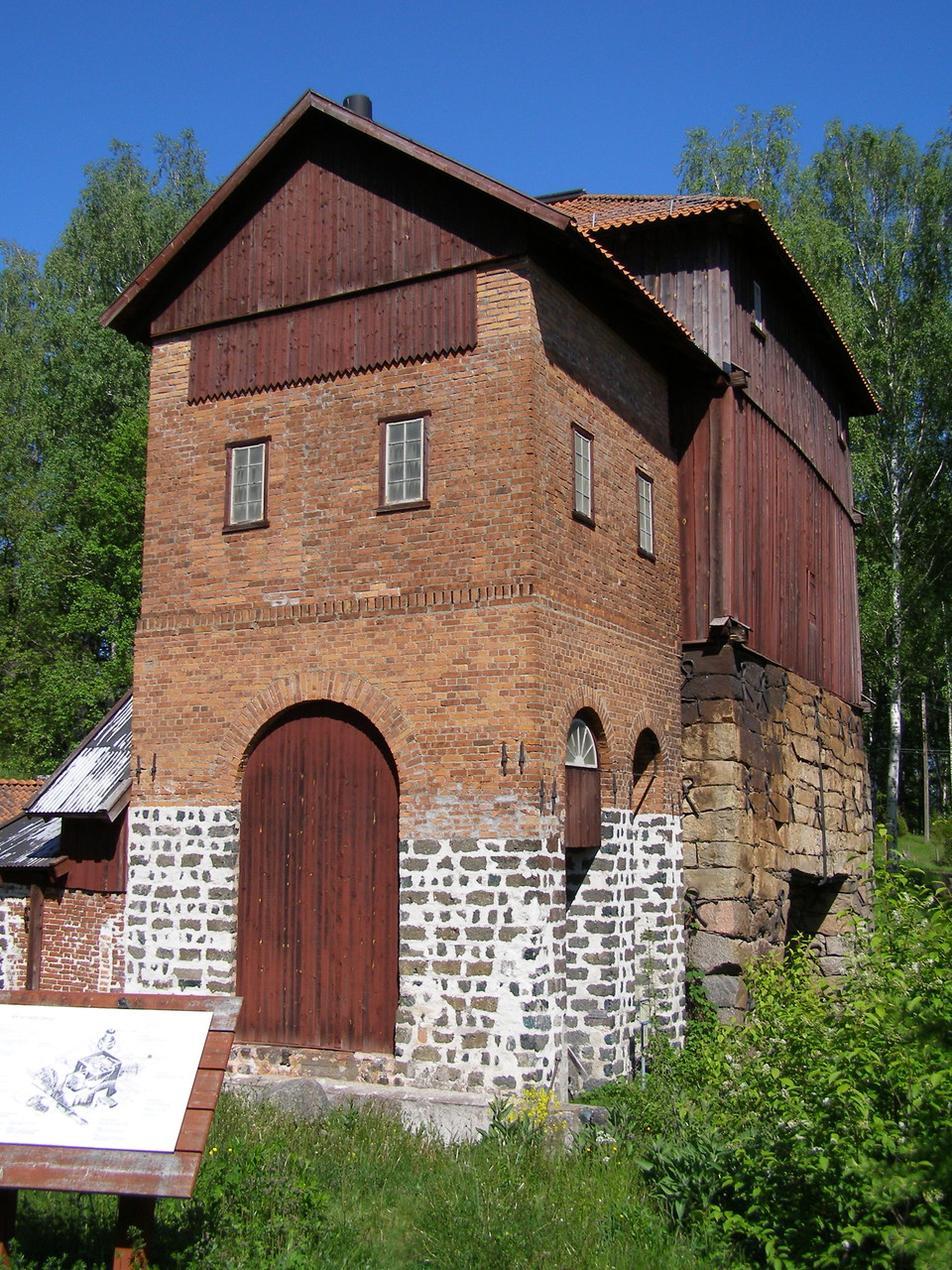
Igelbäckens blast furnace is one of the county's few preserved smelting plants. It was built in 1826 to replace an older mill. The smelter was in operation until 1923. Mining has characterized the development of Örebro County from the 12th century until the…

Kulturelt miljø

Jättegryta

  • Kommune: Askersund
  • 6696.09 km fra deg

Two kilometers south of Gråmon there is a 400 meter dead end, which takes you to one of the finest giant pots in Tiveden. The pot was discovered in the mid-1960s, when a spruce tree was felled that had taken root in the pot itself.

Kulturelt miljø

Tunntappen

  • Kommune: Lekeberg
  • 6671.91 km fra deg

Three kilometers west of Tryggeboda, the trail passes the small, strange lake Tunntappen. The lake has a subterranean outlet through the coarse blocky moraine and a normal stream outlet. At high flows, the underground outlet is not enough to drain the lake,…

Kulturelt miljø

Tiveds Hembygdsförening / hembygdsgård

  • Kommune: Laxå
  • 6697.02 km fra deg

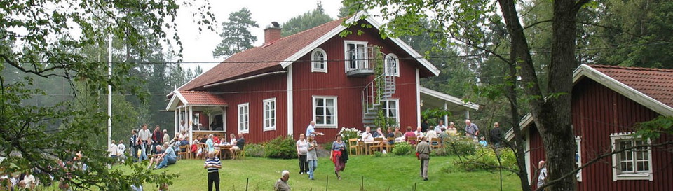
Tiveds Open Air Museum is founded in 1959. Historical houses show the lives, customs and traditions of the area of Tiveden. The village of Dammtorp presents ten different old buildings. There are activities all year round, where local people produce handicr…

Kulturelt miljø

Porla Brunn

  • Kommune: Laxå
  • 6685.92 km fra deg

Porla well, Porla, is an industrial community and former well site near Hasselfors. Porla well was used for drinking from 1724-1939. The writer Selma Lagerlöf, among others, stayed here. During the 18th century, Porla well was relatively unknown, but receiv…

Kulturelt miljø

Porsängsmossen

  • Kommune: Laxå
  • 6697.41 km fra deg

These parts of Tiveden were once relatively densely populated. When people had to find their way to the village, it had to be on paths through the rugged terrain. These paths, called church paths, are often very old and have been maintained and improved, fo…

Kulturelt miljø

Ykullens by

  • Kommune: Laxå
  • 6698.14 km fra deg

Leden går runt Ykullens by, i utkanten av de odlade markerna, med inblickar mot bebyggelsen, som ligger högst upp på höjderna. Ykullen är en typisk, men för Tiveden ovanligt stor, jordbruksby. Dess ursprung finner man i den finska kolonisation, som i början…

Kulturelt miljø

Bojegruvan

  • Kommune: Degerfors
  • 6675.61 km fra deg

Just over a kilometer south of Svartå there is a 400 m long dead end trail that leads to an area with several mine holes and warp piles. Bojegruvan (Boijgruvan) and Kärrgru- van, 1 km south, both belonged to the Guld- smedsboda iron mine field, which was wo…

Kulturelt miljø

Trollkarlsberget

  • Kommune: Laxå
  • 6675.32 km fra deg

Two kilometers south of Bojen, the trail runs through extensive young forests up over Trollkarlsberget. The young forests have grown up on the large clear-cuts that were the result of a tornado that swept through the area in the late 1950s.

Kulturelt miljø

Nybergskällan

  • Kommune: Lekeberg
  • 6679.33 km fra deg

This source of health is reminiscent of a time when different values prevailed about what was healthy. A Professor Svenonius from Uppsala analyzed the water at the beginning of the century and found that it contained radium. Since the water was thus radioac…

Naturkartan

Åpne dette i appen