
De beste sykkelrutene for sykling og terrengsykling i Norrbottens län
Norrbottens län
Naturkarten samler sykkelrutene i Norrbottens län som er mest populære blant brukerne våre.
Bilder
Kart
22 De beste sykkelrutene for sykling og terrengsykling i Norrbottens län

Korpilombolo - Narken kyrk cykelleden
- Kommune: Pajala
- 6603.04 km fra deg
- 22.3 km
- Vanskelighetsgrad: Grønn
Hälsoslingan Åke på Toppen
- Kommune: Gällivare
- 6511.71 km fra deg
- 1.5 km
- 20 min
- Vanskelighetsgrad: Grønn
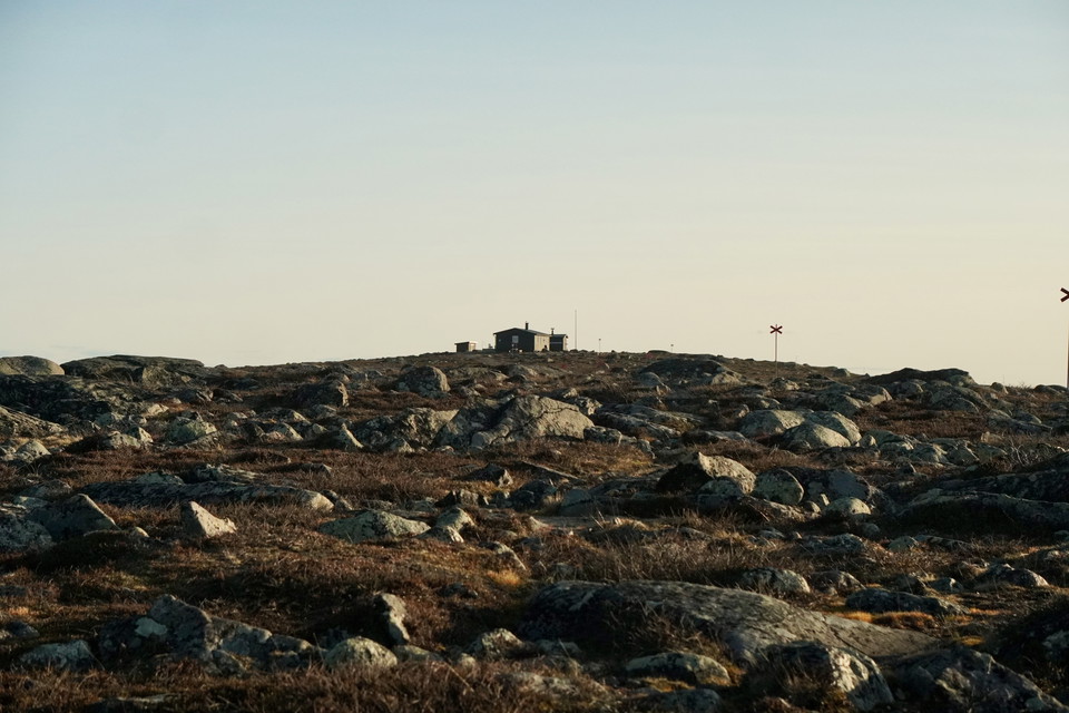
This trail starts from the parking lot along 5:ans väg and extends 1.5 kilometers up to Dundret's highest peak - Åke på toppen. The trail is flat, graveled, smooth and handicapped accessible, making it accessible for wheelchairs, strollers and anyone who wa…
Hälsoslingan Nuolajärvi
- Kommune: Gällivare
- 6513.93 km fra deg
- 2.0 km
- Vanskelighetsgrad: Grønn
Nuolajärvi offers fine and easily accessible nature experiences despite being only a few kilometers from Gällivare center. The health trail runs mostly on an accessible path around the lake. The path follows the shore over a pine forest-covered bog. There a…
Banvallen
- Kommune: Övertorneå
- 6668.45 km fra deg
- 29.1 km
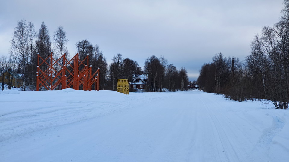
The 33 km long track along the scenic Torne River is perfect for walking, running and cycling in the summer, while the winter offers regularly groomed ski trails. The trail is flat and welcomes all ages and experience levels, with skiers and snowmobilers sh…
Hälsoslingan Älvpromenaden
- Kommune: Gällivare
- 6511.45 km fra deg
- 6.4 km
- Vanskelighetsgrad: Grønn
Along the river in Gällivare there is a nice walking trail. It is possible to walk all the way from the hospital to Sandviken bathing place. If you want to walk shorter, you can choose to just walk back and forth part of the way. Along the trail there are s…
Hälsoslingan Lilla lasarettsrundan
- Kommune: Gällivare
- 6514.21 km fra deg
- 0.22 km
- Vanskelighetsgrad: Grønn
There are two health loops in connection with Gällivare Hospital. There is a short green loop and a longer blue loop. The blue health loop is described in another document. The green health loop also works for those who can only walk very short distances as…
Hälsoslingan Djävulsklyftan
- Kommune: Gällivare
- 6513.61 km fra deg
- 6.3 km
- Vanskelighetsgrad: Rød
The Devil's Gorge hike is quite long and at times it is physically challenging on the rocky slopes. But you will be rewarded with beautiful views of the gorge. The forest is an older heath pine forest with a lot of hanging lichen and traces of fires in old…
Skoterleden till Fluggtjärnen Rosfors ekopark
- Kommune: Piteå
- 6629.59 km fra deg
- 0.9 km
- Vanskelighetsgrad: Rød
De beste sykkelrutene for sykling og terrengsykling i Norrbottens län
Naturkarten samler sykkelrutene i Norrbottens län som er mest populære blant brukerne våre.
