
-
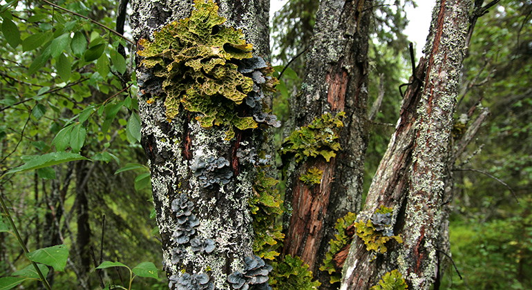
Lunglav i Doaresoajvve.
Foto: Länsstyrelsen Norrbotten -
-
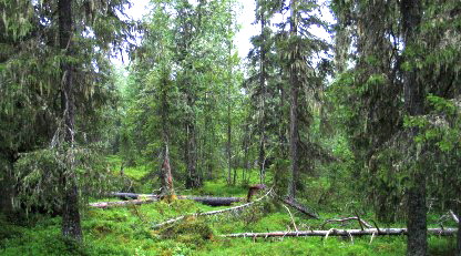
Doaresoajvve
- Naturreservat
- Fylke: Norrbottens län
Handlinger
Beskrivelse
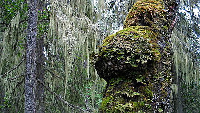
In the primary coniferous forest on Doaresoajvve mountain there are large numbers of old, thick-growth willows. On them you can find the emerald-green Lungwort and haploporus odorus, called Aniseed Polypore because of its scent. Both of them are rarities in the pristine forest! Doaresoajvve (Tåresåive) is an elongated mountain, where the highest summit measures about 500 metres a s l. The slopes on northeast and south sides are fairly steep. The area is 2.5 square kilometres in size.
Aktiviteter og fasiliteter
- Naturreservat
Fakta
Municipality: Jokkmokk
Year of formation: 2013
Size: 2.5 square kilometers
Administrator: County Administrative Board
Form of protection: Nature reserve
Kommunikasjon
The nature reserve lies 20 km south of Jokkmokk and about 5 kilometres southeast of the village of Tårrajaur. Doaresoajvve is reached via small roads off the E45. One small road runs eastwards towards Näsberg about 4.5 kilometres south of Tårrajaur. From there a small logging road leads up to the nature reserve. The state of the road is unknown.
Veibeskrivelse
The nature reserve is located 2 miles south of Jokkmokk and about 5 kilometers southeast of the village of Tårrajaur. Doaresoajvve is reached via minor roads from the E45. A smaller road goes east towards Näsberg about 4.5 kilometers south of Tårrajaur. From there, a smaller forest road goes up to the nature reserve. The condition of the road is currently unknown.
Forskrifter
All regulations can be found in the reserve decision. It is allowed to:
- hike
- camping
- make a small fire with loose branches and twigs
- picking berries and edible mushrooms
- driving snowmobiles on well-snow-covered ground
- fishing and hunting in accordance with applicable laws
It is not allowed to damage plant and animal life. Remember the right of public access and protect nature!
Kontakt
E-postadresse
Länsstyrelsen Norrbotten
Organisasjonens logotype

Jeg har vært her 1
Jeg ønsker å dra hit 1

Spørsmål og svar
Still et spørsmål til andre brukere av Naturkartan.
Omtaler
0 anmeldelser
- 5 :
- 4 :
- 3 :
- 2 :
- 1 :
Brukernes bilder
Ingen brukerbilder ennå. Bli den første til å dele!
