
Blankaholmsslingan, B
- Fotturer
- Fylke: Kalmar län och Öland
- 6859.34 km fra deg
Detaljer om stien
- Lengde 2.0 km
Handlinger
Beskrivelse
**The Blankaholm loops are two different loops next to each other that can be enjoyed either individually or in a sweep. Start and finish at the café above the long bridge.
**Description of the B loop
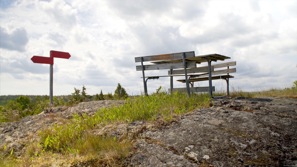
If you want to walk a little further, continue up Majkaseberget, where you have a breathtaking view of the archipelago about 50 meters above sea level. There are also opportunities for barbecues. On the way up, you pass a marsh that never runs dry and reach the top of the mountain with a great variety of lichens. From the three different viewpoints you have a great chance of seeing osprey, white-tailed eagle, buzzard, cormorant (eel crow/sea starling) and our gulls, terns and gulls. On the way down you will pass a willow forest, the foundations of the old pigsties and through deciduous meadows with several trees and old monkeys.
Aktiviteter og fasiliteter
- Fotturer
Fakta
Lead partner: Blankaholm Community Association
Stage division: Blankaholmsslingan B
Marking: Orange marking
Accommodation: Campsite and seaside cottages and guesthouse nearby
Sanitary: Garbage station passed t/r and WC at the starting point
Kontakt
Adresse
Adress: Stora torget 4, 59333 Västervik
E-postadresse
Västerviks turistbyrå
Jeg har vært her 1

Jeg ønsker å dra hit 3

Spørsmål og svar
Still et spørsmål til andre brukere av Naturkartan.
Omtaler
0 anmeldelser
- 5 :
- 4 :
- 3 :
- 2 :
- 1 :
Brukernes bilder
Ingen brukerbilder ennå. Bli den første til å dele!
