ARK56 - Blekinges länkade kustleder
Länkade kustleder i ett Unesco biosfärområde

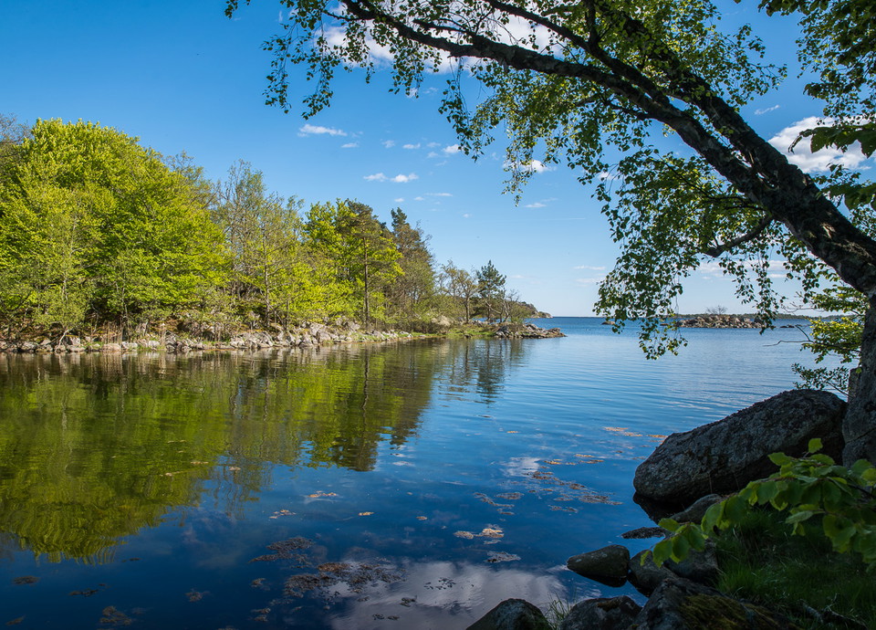
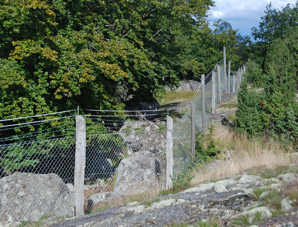
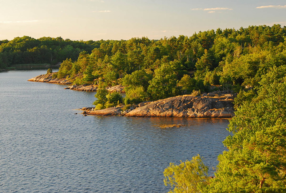
Year of protection: 1976
Municipality: Karlshamn
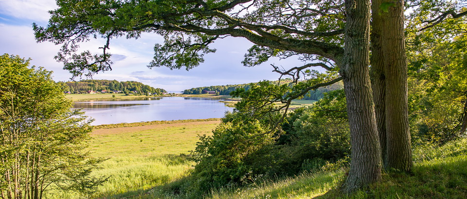
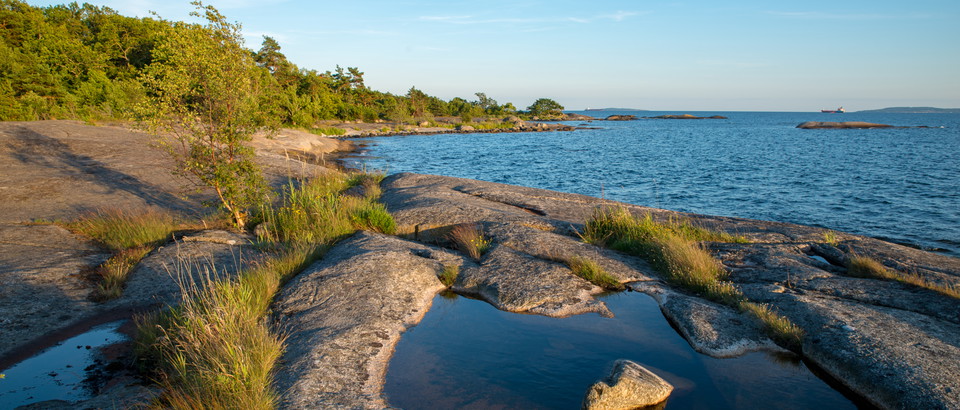
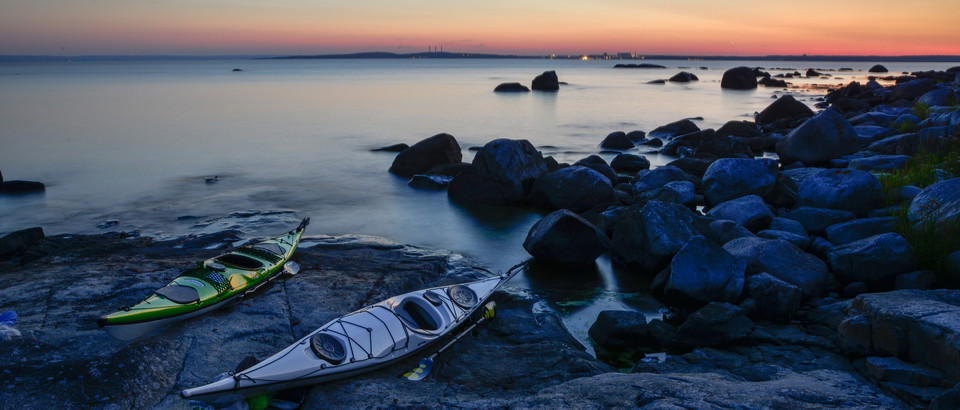
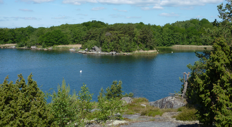
Character: Coastal and archipelago landscape with deciduous forest, pine forest, deciduous swamp forest, rocky ground forest, juniper land, pasture, grassland, seashore meadow, rocky ground, sea, islands and islands; cultural history with e.g. peat remains; outdoor recreation
Area: Just over 411 hectares, of which 128 hectares are land
Landowner: Eriksberg Vilt & Natur AB
Manager: Blekinge County Administrative Board
Form of protection: Nature reserve and Natura 2000
From the E22, follow the signs to Eriksberg south of Åryd between Hällaryd and Bräkne-Hoby to reach Östra udden, the eastern side of the promontory. An alternative route is to leave the E22 towards Matvik and follow the signs to Västra udden, the west side.
You are welcome to visit the beaches of Eriksberg, but please note that it is not allowed to
Länsstyrelsen Blekinge








—
0 anmeldelser
Still et spørsmål til andre brukere av Naturkartan.
Del bildene dine fra stedet!