Kottmosserundan

Detaljer om stien

  • Lengde 3.5 km
  • Tid 45 min
  • Vanskelighetsgrad Blå – medium

Handlinger

  • Veibeskrivelse

Beskrivelse

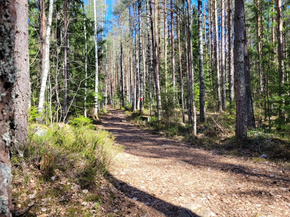
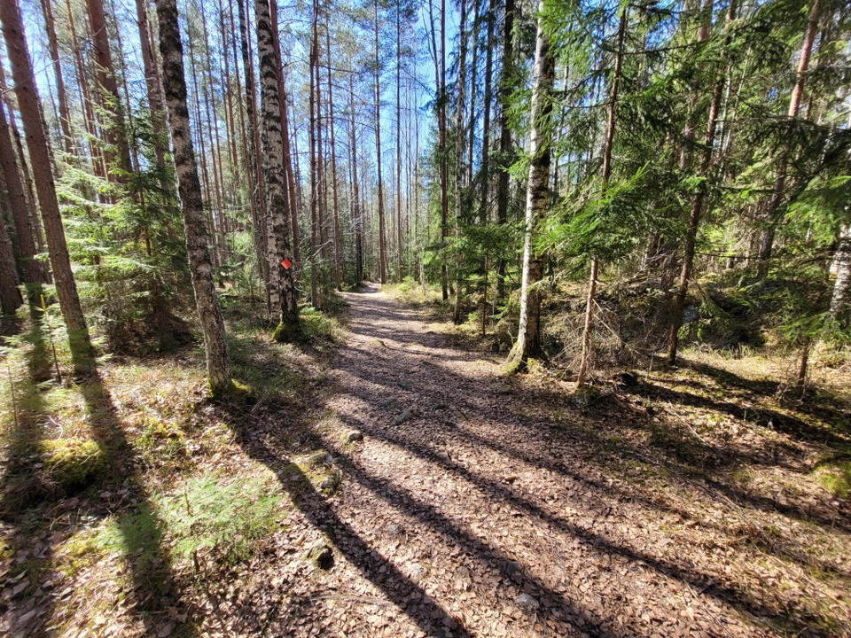
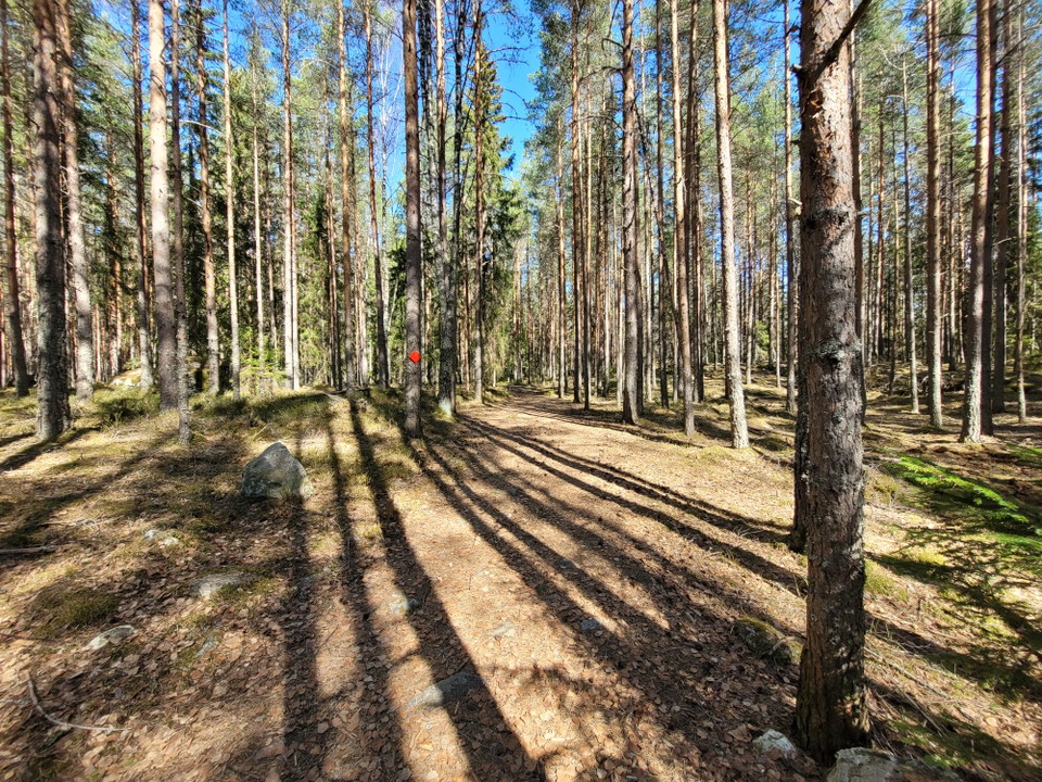
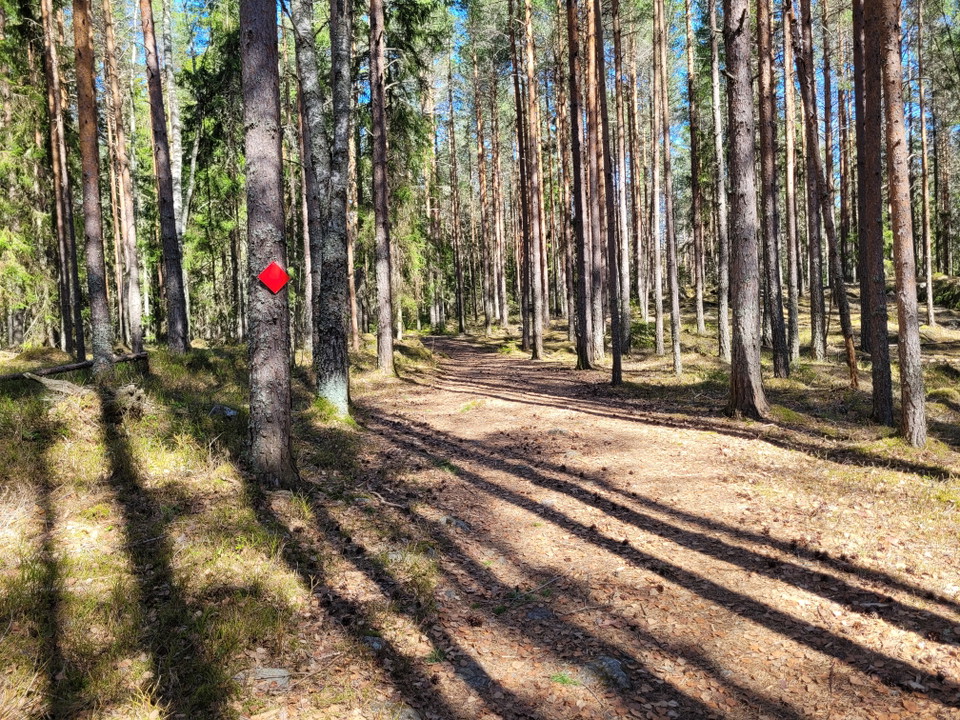
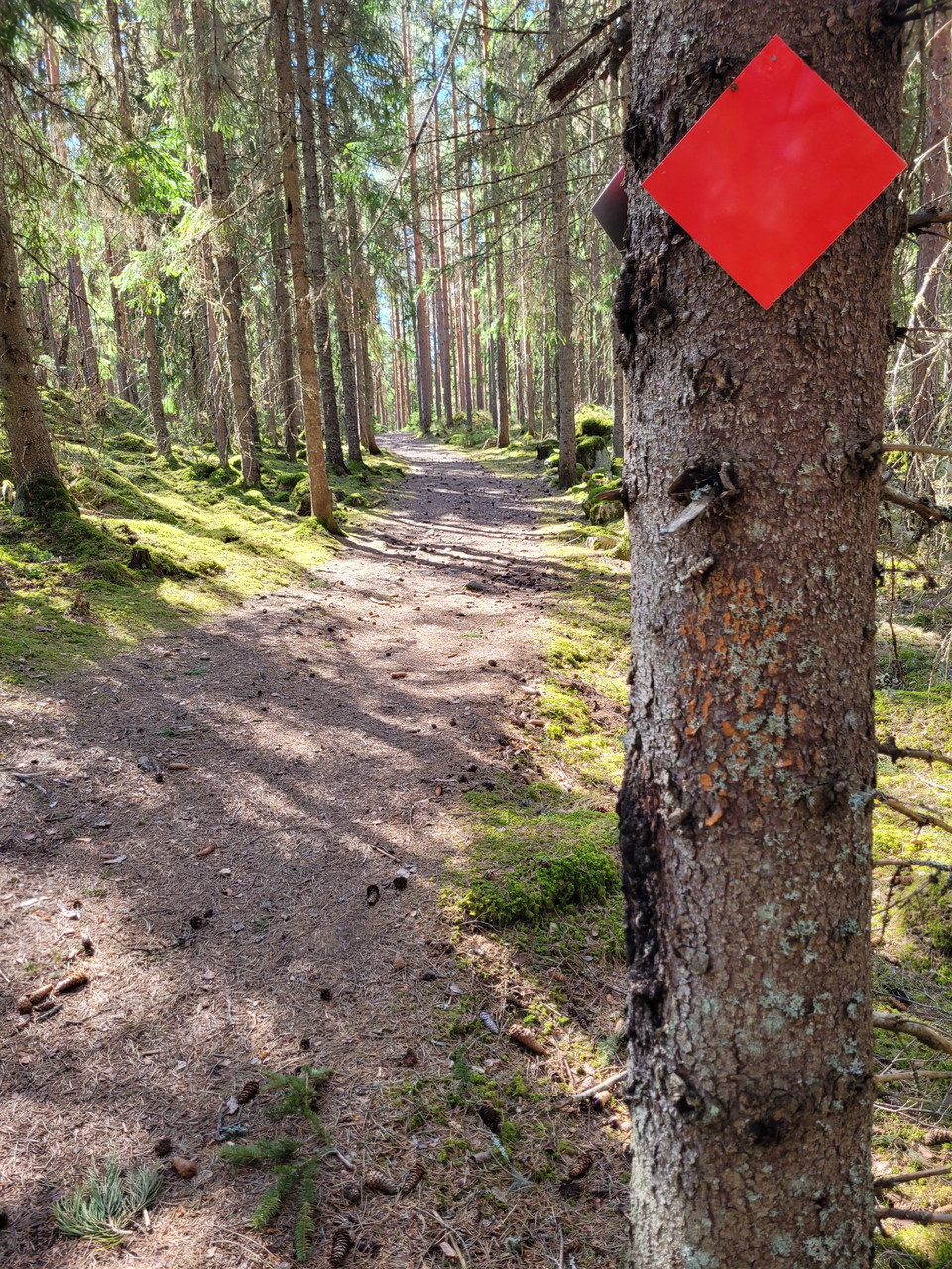
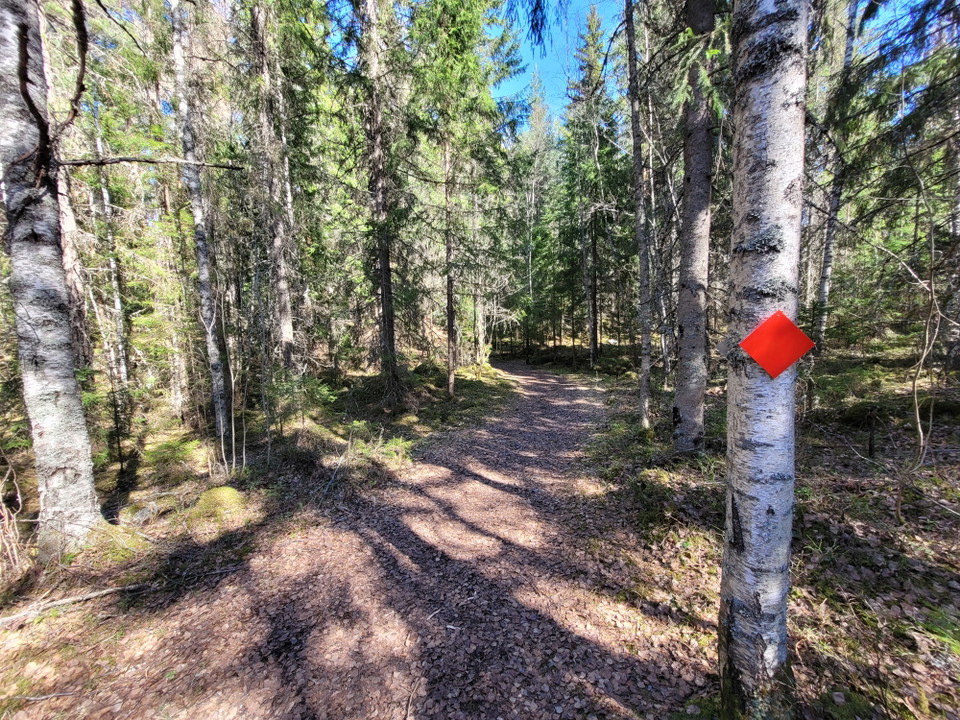
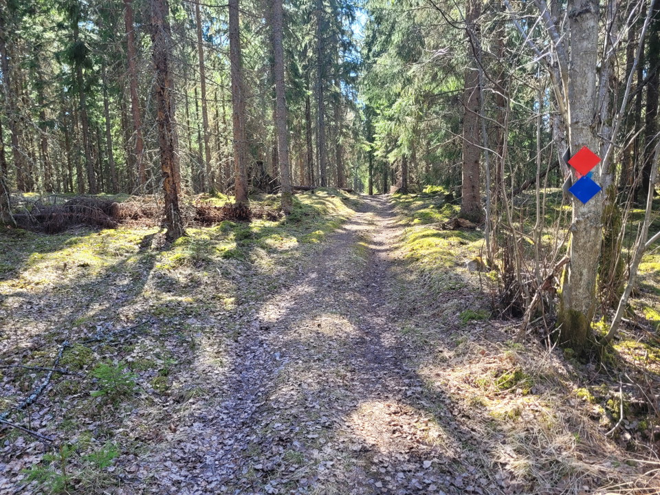
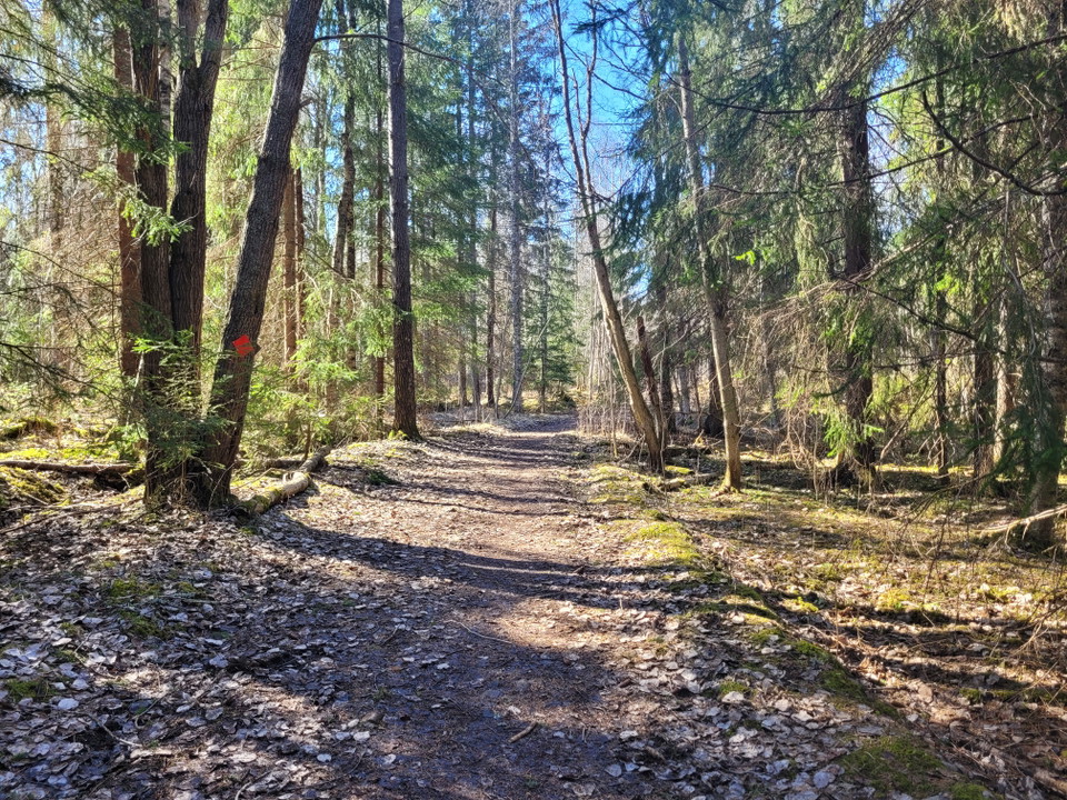
Welcome to hike along Kottmosserundan. Kottmosserundan runs in varied terrain, from slightly denser spruce forest to beautiful sparse pine forest. The surface varies between forest road, wide forest path to ordinary narrower forest path. For the most part, it runs along the wide forest path. Roots and stones along the entire loop are relatively extensive.

From the southern part of Kottmosserundan (red) you can get to a shelter with associated barbecue area located about 250 meters from the round in a southerly direction.

Værvarsel (kl. 12.00)

Laster…

Kom hit med offentlig transport

Aktiviteter og fasiliteter

  • Gå

Nedlastinger

Kontakt

E-postadresse

Fagersta kommun

+46 223 440 00

Jeg har vært her 2

Jeg ønsker å dra hit 1
Omtaler

—

0 anmeldelser

av 5 stjerner

5 :
0.0%
4 :
0.0%
3 :
0.0%
2 :
0.0%
1 :
0.0%

Spørsmål og svar

Still et spørsmål til andre brukere av Naturkartan.

Brukernes bilder

Del bildene dine fra stedet!

Naturkartan

Åpne dette i appen