
-
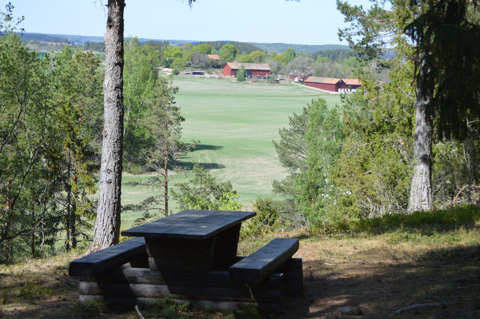
Foto: Karolina Vessby -
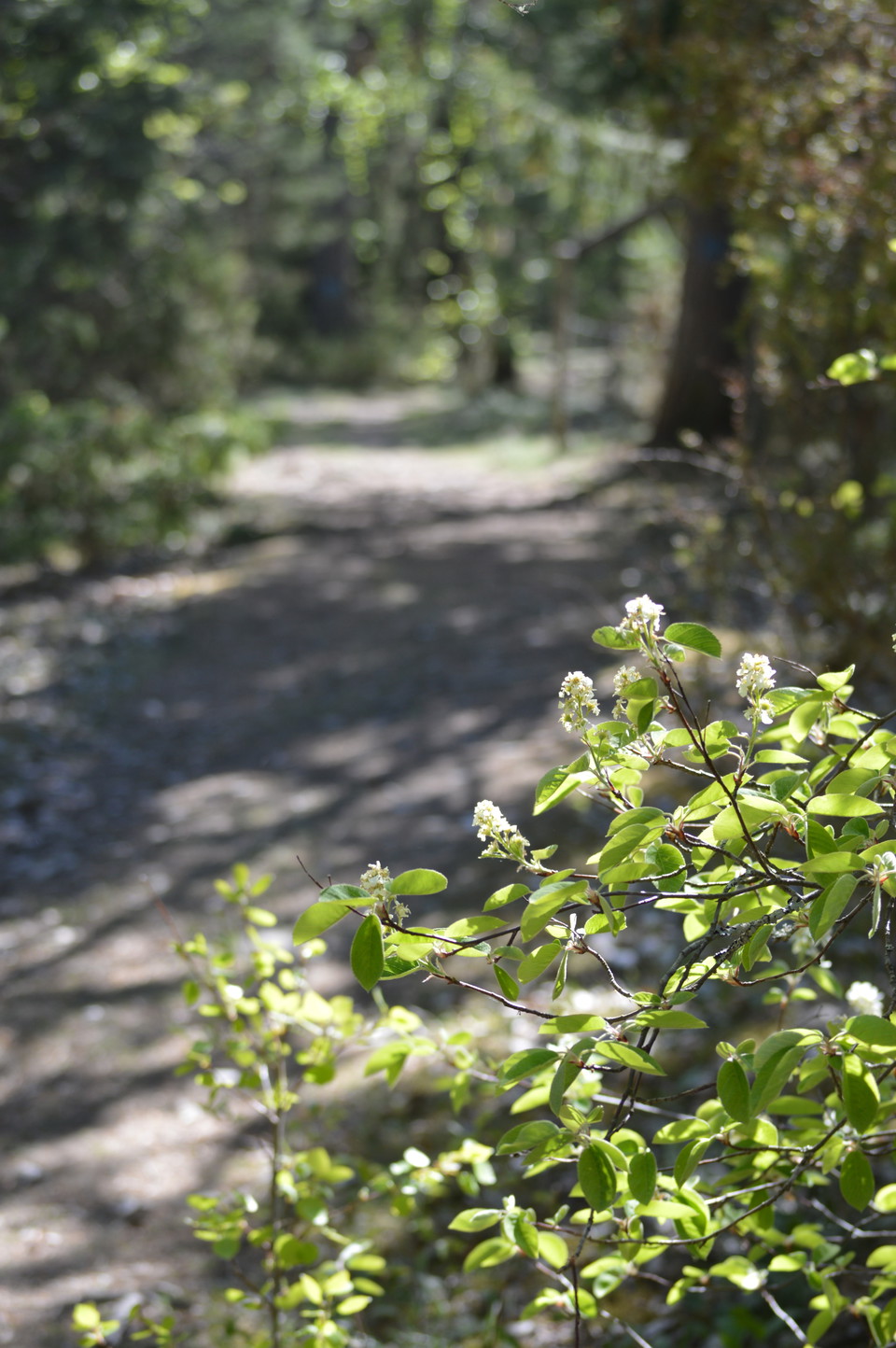
Foto: Karolina Vessby -
-
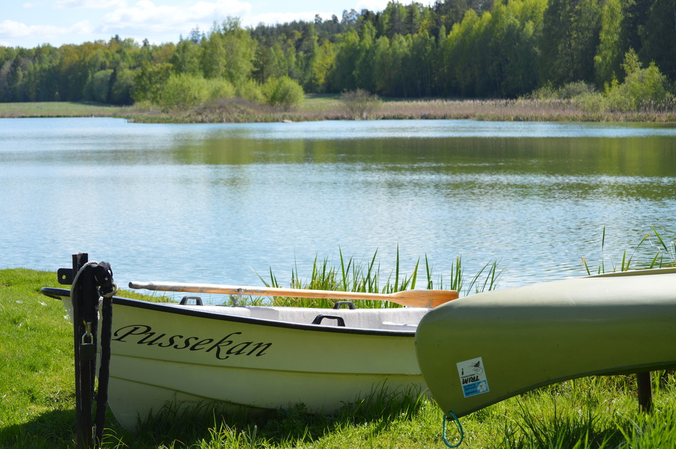
Foto: Karolina Vessby -
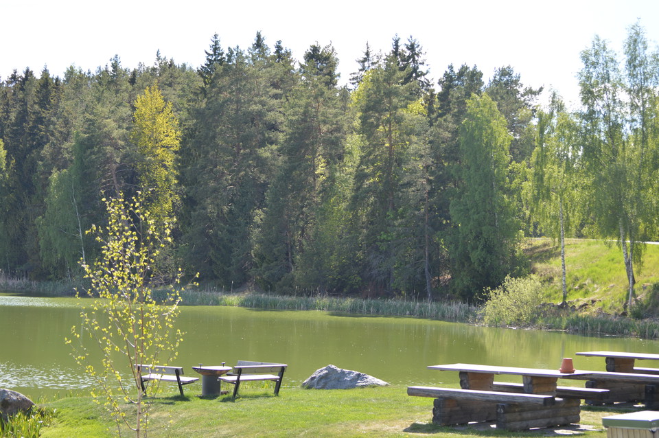
Äsåsen och Äspuss
- Utendørs rekreasjonsområde
- Parkering i nærheten
- Fylke: Uppsala län
Handlinger
Beskrivelse
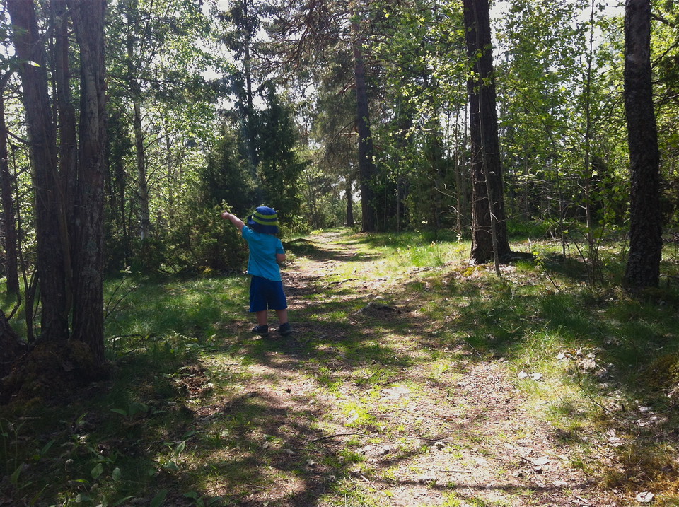
The loop around Äs puss has something to offer most people. There are opportunities to be active, to hike and to discover the exciting and varied nature. But you can also choose to just rest and feel good at one of the nice resting places along the trail.
Äsåsen is the highest elevation in Härnevi and people have used the ridge for a long time. At the top of the ridge, the trail follows an ancient path that people have probably used since the Bronze and Iron Ages. On the ridge there are several exciting ancient remains from this time. They are located in semi-open and easily walked pastures. You pass several fine viewpoints with sweeping views of the landscape. Two of them have tables and benches. The trail continues through old ridge-top forest and also passes the small ridge-top lake Äs puss. There is a nice picnic area by the shore with a barbecue. Dip your toe in the puss if you dare - there are real leeches here!
The local local history society is very active and has in a leader project together with Upplandsstiftelsen prepared the path and the nice resting places. Many local residents have been involved in this work. The small lake has also been restored by removing reeds, in order to recreate and preserve the open water surfaces.
The Upplandsleden trail 24:1 also runs through the area. It is 2.4 km long and leads you on a hike up Äsåsen.
Aktiviteter og fasiliteter
- Utendørs rekreasjonsområde
Tilgjengelighet
- Parkering i nærheten
Veibeskrivelse
By car: From Enköping, take road 70 towards Sala. Just a few hundred meters north of the E18 turn right towards Torstuna.
Continue almost 7 km towards and then turn left towards Lådö. The parking lot is on the left after 300 m.
Kontakt
E-postadresse
Upplandsstiftelsen
Organisasjonens logotype

Jeg har vært her 10


Jeg ønsker å dra hit 2
Spørsmål og svar
Still et spørsmål til andre brukere av Naturkartan.
Omtaler
0 anmeldelser
- 5 :
- 4 :
- 3 :
- 2 :
- 1 :
Brukernes bilder
Ingen brukerbilder ennå. Bli den første til å dele!
