
Stavsnäs natur och kulturspår
- Fotturer
- Barnevognstilgjengelig
- Parkering i nærheten
- Nær offentlig transport
- Fylke: Stockholms län
- 6869.12 km fra deg
Detaljer om stien
- Lengde 5.8 km
Handlinger
Beskrivelse
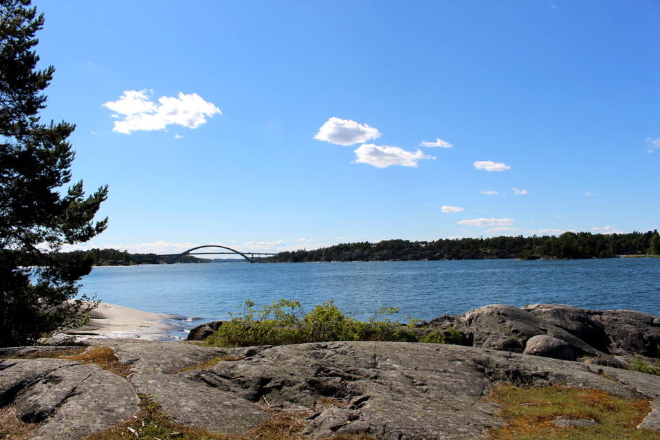
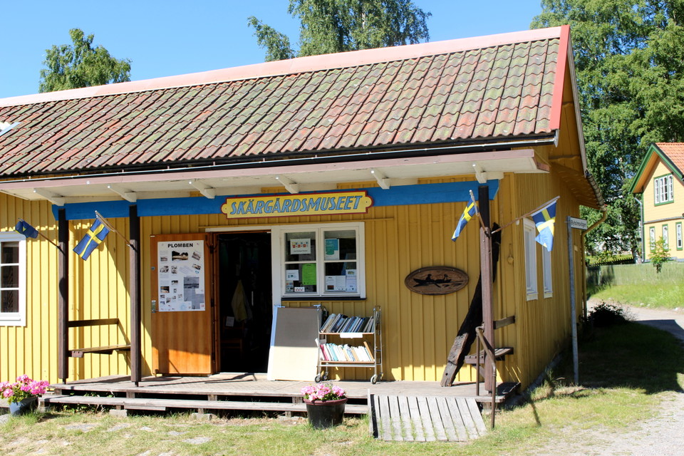
Stavsnäs village was first mentioned in written sources in 1410. The name probably refers to sea marks, rods, which should have existed on one of the islets in the area. During the Middle Ages, the great Stockholm fairway passed Stavsnäs, to continue north between Värmdölandet and Djurö-Vindö. The trail, which is about 5.6 km long, passes both buildings of cultural and historical interest and beaches along both protected bays and open bays.
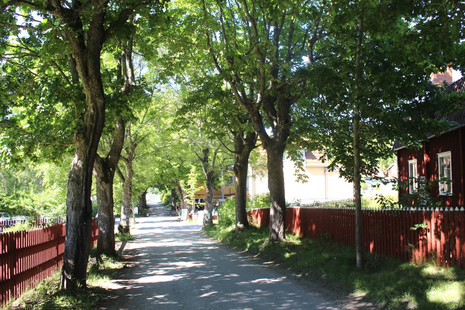
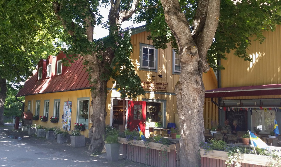
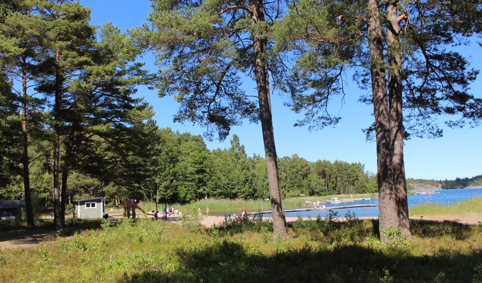
The trail follows streets and major paths. The trail is unmarked except at junctions and partly in the terrain where there are yellow markings. A suitable place to rest is Östersjöviken bathing place. You can also have a coffee at the bakery. A map is posted at the Archipelago Museum parking lot.
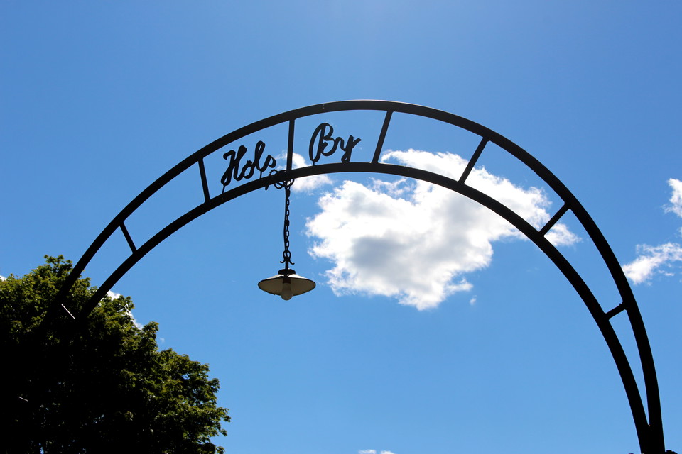
The trail is stroller-friendly, a shorter forest section at Höl can easily be avoided by walking Ejderns väg instead of Höl byväg.
Aktiviteter og fasiliteter
- Fotturer
Tilgjengelighet
- Barnevognstilgjengelig
- Parkering i nærheten
- Nær offentlig transport
Veibeskrivelse
The nearest bus stop is "Stavsnäs by". Parking space is available at the ICA store in Stavsnäs.
Kontakt
E-postadresse
Kontakta Kultur & Fritid på Värmdö kommun om du har frågor!
Jeg har vært her 10







Jeg ønsker å dra hit 21






Spørsmål og svar
Still et spørsmål til andre brukere av Naturkartan.
Omtaler
0 anmeldelser
- 5 :
- 4 :
- 3 :
- 2 :
- 1 :
Brukernes bilder
Ingen brukerbilder ennå. Bli den første til å dele!
