
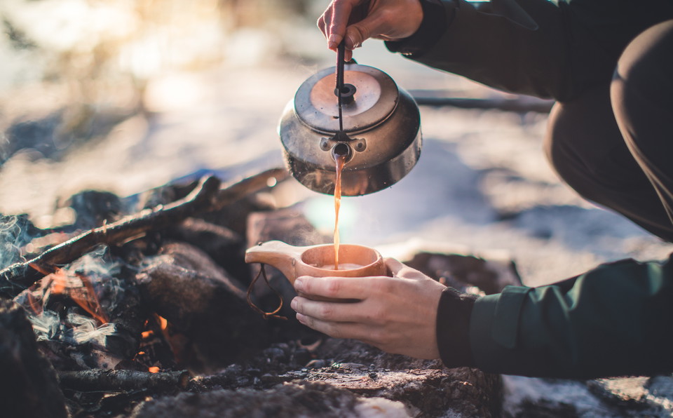
Grillplats, Forssjö friluftsområde
- Grillplass/bålplass
- Fylke: Södermanlands län
- 6769.71 km fra deg
Handlinger
Beskrivelse
Aktiviteter og fasiliteter
- Grillplass/bålplass
Parkering
The best way to reach the barbecue area in Forssjö outdoor area is via the parking lot along Bruksvägen, a short distance outside Forssjö, south of the outdoor area.
Kommunikasjon
Nearest bus stop: Rökstorp.
Kontakt
Adresse
Kontakta kommunikationsavdelningen om du har frågor om Katrineholms naturkarta.
Vill du felanmäla något som du har upptäckt i naturen? Gör din anmälan i vår app Felanmälan Katrineholm som du hittar i din appbutik, eller via www.katrineholm.se/felanmalan
E-postadresse
Kommunikationsavdelningen
Organisasjonens logotype

Jeg har vært her 1

Jeg ønsker å dra hit 1
Omtaler
—
0 anmeldelser
- 5 :
- 4 :
- 3 :
- 2 :
- 1 :
Spørsmål og svar
Still et spørsmål til andre brukere av Naturkartan.
Brukernes bilder
Del bildene dine fra stedet!
